Current Date & Time

Fall Freeze Data For New Mexico

Near Record High Temps Wednesday!


Ground Fog Obscures The Bottom Half Of This Tower West Of Orla, Tx.

Near Record High Temperatures Wednesday.


NWS NDFD Forecast Temperature Anomalies.


Forecast high temperatures in the upper 70's Wednesday afternoon for Southeastern New Mexico will be some 15 to 20 degrees above normal for the last day of January, 2018. Don't be surprised is a couple of stations come close to reaching the 80ºF mark either.

Local Climate Data For January 31st.


Take a look at Roswell's record high temperature for January 31st...an impressive 88ºF last set in 1893! Artesia, Carlsbad, and Hobbs were not keeping climate records for the National Weather Service back then but Id bet that Artesia and Carlsbad came close to reaching 90ºF if they didn't in fact do so on that date.

The Truth Is Stranger Than Fiction!

Comments

My Blog Archive List (July 2010 - August 2025).

Show more

My Current Weather Conditions

MY CoCoRaHS Precipitation Data

NWS Albuquerque 2026 Winter Outlook (Updated Nov 3rd).

NWS Midland Web Page

NWS Midland Web Page
Click On The Map To Open It Up

SE New Mexico & West Texas Precipitation Forecasts

Eddy County

Guadalupe Mtns Eddy & Culberson County

Lea County

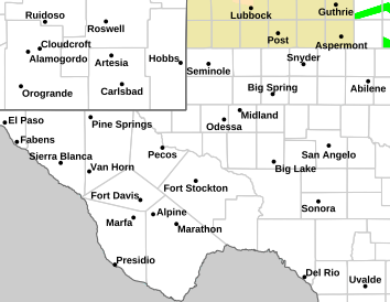
NWS Midland Hazardous Weather Outlook

NWS Midland Hazardous Weather Outlook
Click On The Image To See The Rest Of The Outlooks

NWS Midland Hazardous Weather Outlook

NWS Midland Hazardous Weather Outlook

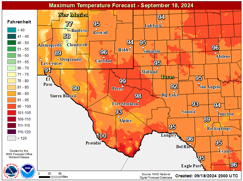
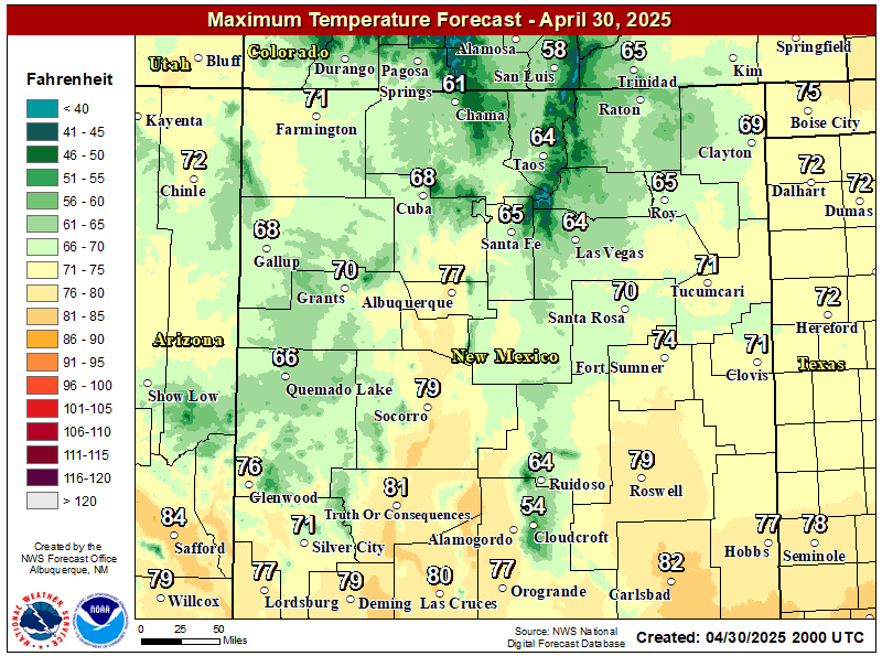
NWS Midland Forecast High Temperatures Today

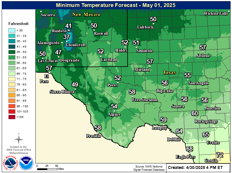
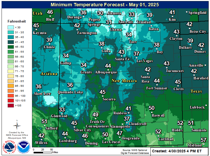
NWS Midland Forecast Low Temperatures Tonight

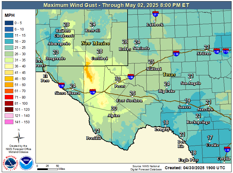
NWS Midland Peak Wind Gust Forecast

NWS Midland Forecast Graphic

NWS Midland Forecast Graphic
A storm system brings scattered showers/storms to the area tonight. Widespread flooding is not expected, but heavier storms may cause ponding of water on roads. Showers will linger over the northeast Permian Basin through Saturday morning.

NWS Albuquerque Web Page

NWS Albuquerque Web Page
Click On The Map To Open It Up

NWS Albuquerque New Mexico Precipitation Forecasts

New Mexico

Chaves County Plains & Mtn's

Lincoln County

NWS Albuquerque Hazardous Weather Outlook

NWS Albuquerque Hazardous Weather Outlook

NWS Albuquerque Forecast High Temperatures Today

NWS Albuquerque Forecast Low Temperatures Tonight

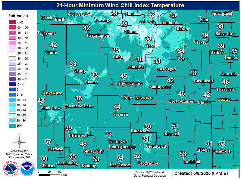
NWS Albuquerque Wind Chill Forecast

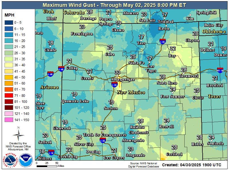
NWS Albuquerque Peak Wind Gust Forecast

NWS Albuquerque Graphic Forecast

NWS Albuquerque Graphic Forecast
A Winter Weather Advisory is in effect across the Tusas Mountains from midnight tonight to 9 PM MST Saturday. Snow is expected above 9000 feet, with accumulations generally between 3 to 6 inches. Travel could be very difficult on U.S. Highway 64 between Tres Piedras and Tierra Amarilla. Tire traction will be reduced. Extend the distance between your vehicle and the vehicle in front of you.

NWS Albuquerque Graphic Forecast

NWS Albuquerque Graphic Forecast
Snow above 9,000' will generally range 3-6 inches with locally higher amounts up to 8 inches atop the peaks. Slick winter travel will favor the U.S. 64 corridor through the Tusas Mts.

NWS Albuquerque Graphic Forecast

NWS Albuquerque Graphic Forecast
Temperatures will be chilly tonight, with lows dropping into the 30s-40s across much of the region and the 20s across higher elevations. Showers will move across the south-central mountains and southeast plains late this evening before propagating into northwest and north-central NM during the early morning hours Saturday.

NWS Albuquerque Forecast Grpahics

NWS Albuquerque Forecast Grpahics
Cooler and wetter weather late through the weekend. Calmer weather returns late Sunday through Monday before the next storm system looks to clip northwestern NM Tuesday.

NWS El Paso Web Page

Southern New Mexico & Far West Texas Precipitation Forecasts

Texas

Otero County

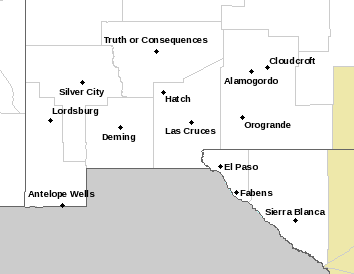
NWS El Paso Hazardous Weather Outlook

NWS El Paso Hazardous Weather Outlook
Click On The Image To See The Rest Of The Outlooks

NWS El Paso Hazardous Weather Outlook

NWS El Paso Hazardous Weather Outlook
Click On The Image To See The Rest Of The Outlooks

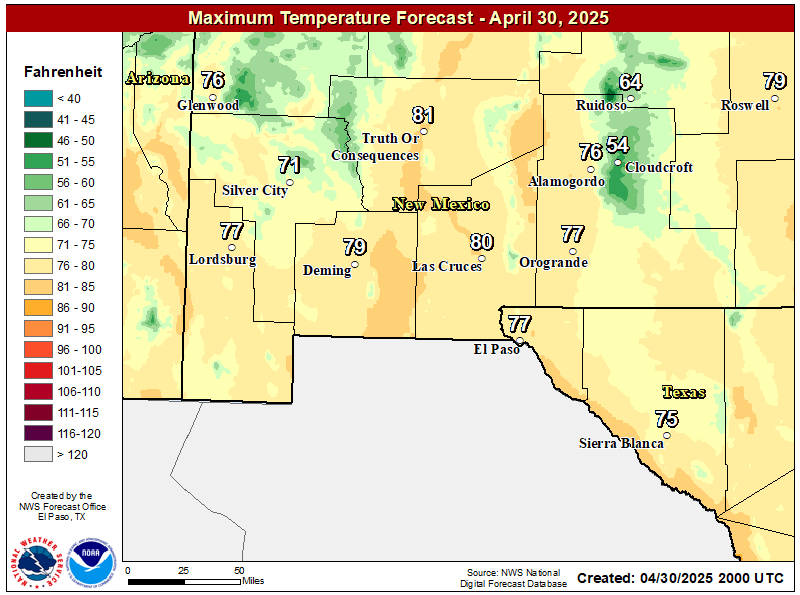
NWS El Paso Forecast High Temperatures Today

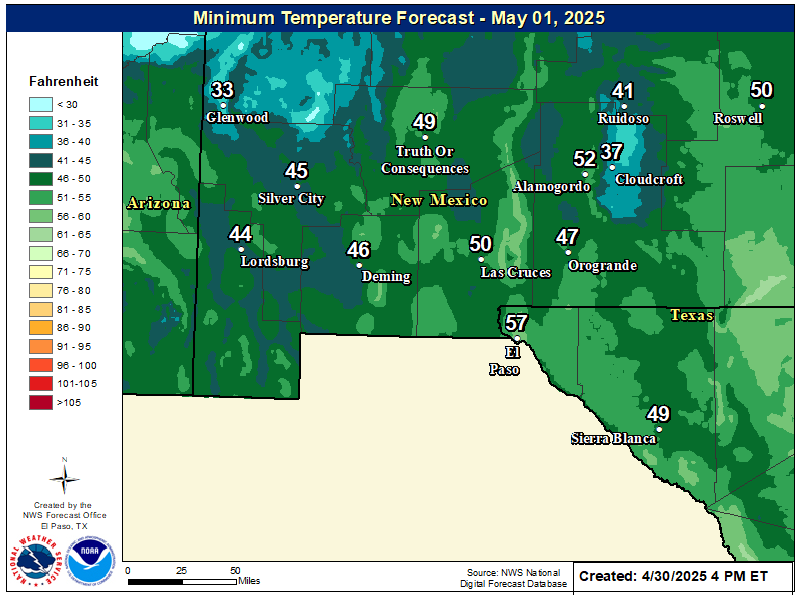
NWS El Paso Forecast Low Temperatures Tonight

NWS El Paso Wind Chill Forecast

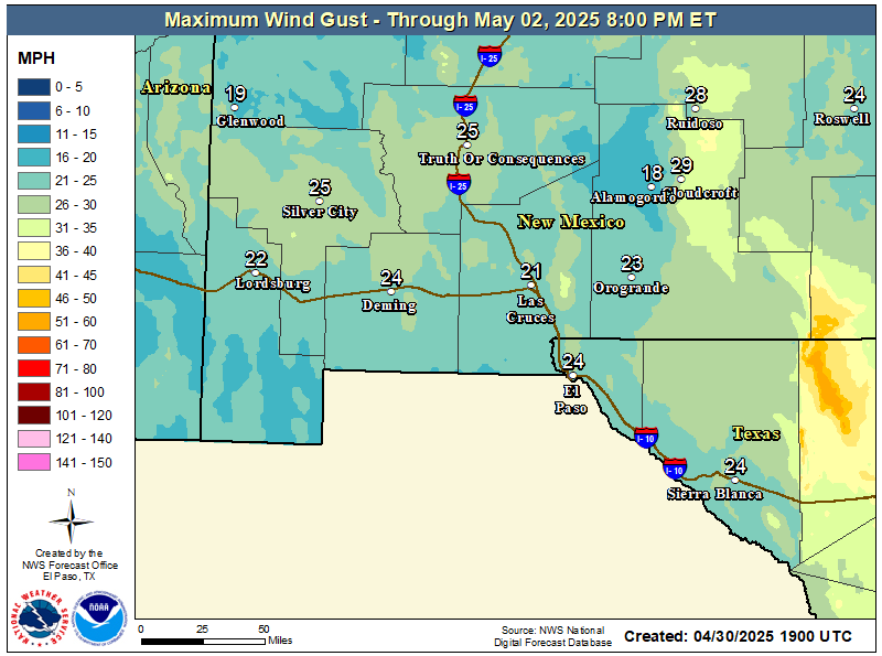
NWS El Paso Peak Wind Gust Forecast

NWS El Paso Graphic Forecast

NWS El Paso Graphic Forecast
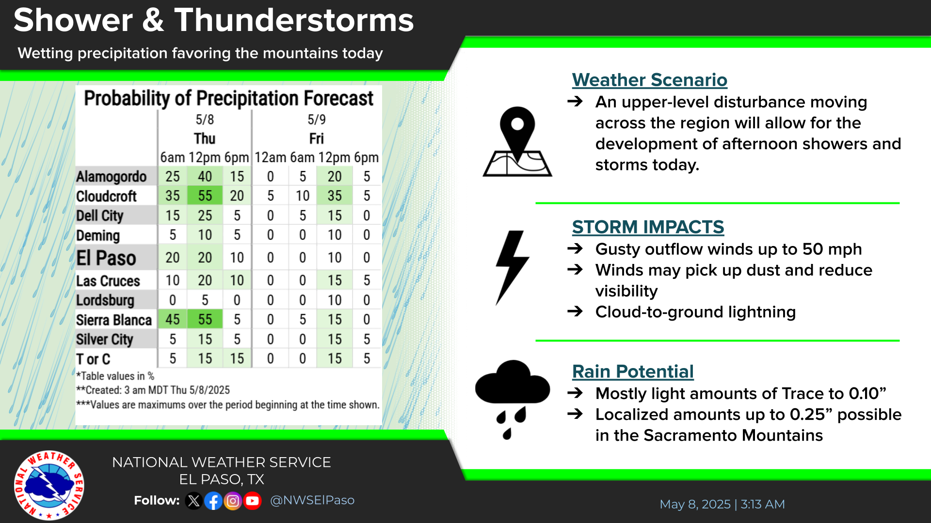
Showers will begin in the west Friday afternoon and spread east through the evening. Highest rainfall amounts likely from the Rio Grande Valley east. A few thunderstorms also possible.

NWS El Paso Graphic Forecast

NWS Lubbock Web Page

NWS Lubbock Web Page
Click On The Map To Open It Up

NWS Lubbock Hazardous Weather Outlook

NWS Lubbock Hazardous Weather Outlook
Click On The Image To See The Rest Of The Outlooks

NWS Lubbock South Plains Precipitation Forecasts

NWS Lubbock Hi Temperature Forecast Today

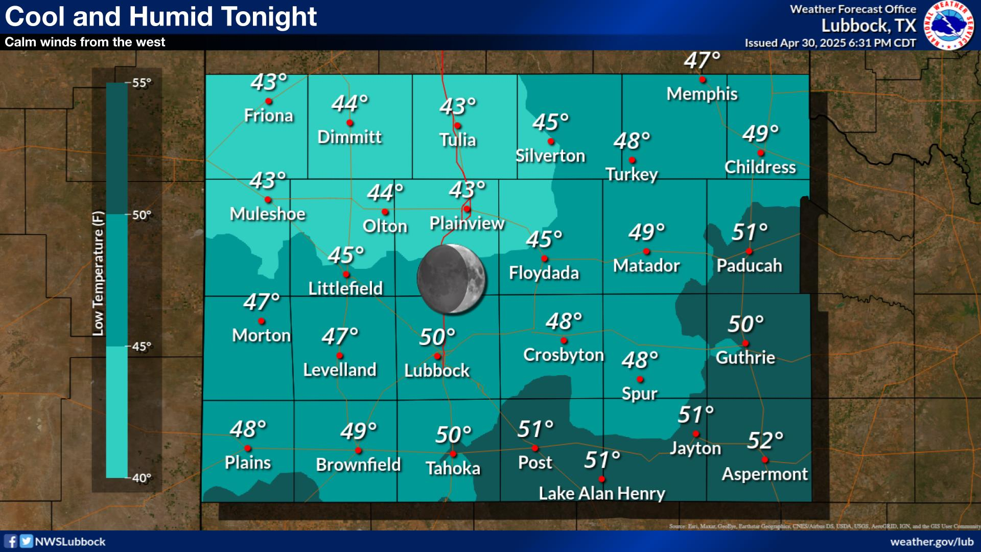
NWS Lubbock Low Temperature Forecast Tomight

NWS Lubbock Graphic Forecast

NWS Lubbock Graphic Forecast
Cloudy skies and scattered rain showers will arrive late Friday night and continue through the day Saturday. Highs will only be in the 50s for most locations. Rain will continue into the evening hours, but gradually come to an end from west to east Saturday night.

NWS Lubbock Graphic Forecast

NWS Lubbock Graphic Forecast
Cloudy and breezy Sunday with highs in the 50s, then cold Monday morning, with lows dropping to near freezing on the Caprock. Remaining chilly on Tuesday despite more sunshine, with some warming on Wednesday.

NWS Lubbock Graphic Forecast

NWS Lubbock Graphic Forecast
Precipitation chances return Friday night through Sunday, with the best chances being Saturday night. Severe storms are not expected, but rainfall amounts over an inch are possible (20-40% chance) off the Caprock. Cooler conditions are expected at the start of next week, when highs may only be in the low 50s.

My Rainfall Totals - 2.1 NNW Downtown Carlsbad

My Rainfall Totals - 2.1 NNW Downtown Carlsbad

My Seasonal Snowfall Totals - 2.1 NNW Downtown Carlsbad

My Seasonal Snowfall Totals - 2.1 NNW Downtown Carlsbad

Disclaimer

This blog and its contents are for informational purposes only! Always have multiple sources of information available to rely upon during severe weather. Do not rely solely on the Internet. Be weather-aware, plan ahead, have a backup plan, and be ready to act before severe weather strikes your location.