Posts

Showing posts from September, 2018

Current Date & Time

Fall Freeze Data For New Mexico

Cold - Wet - Blustery Wednesday!

Image
RTMA Temperatures. (Valid At 6:30 AM MDT This Morning). Temperatures  (Valid At 7 AM MDT This Morning). Wind Chill Temperatures. (Valid At 7 AM MDT This Morning). Reported Low Temperatures This Morning. (Valid At 7 AM MDT). Surface Map Analysis. Valid At 3 AM MDT This Morning. Surface Map Forecast. Make no mistake about it fall is off to an early start across parts of the Western U.S. this year. Take a look at the temperature maps above and note the widespread temps in the 30's and 40's with even a few low temps reported to be in the teens and 20's across Wyoming.  A potent cold front had entered extreme northeastern New Mexico as of 3 AM MDT this morning and will continue pushing to the south and west throughout the day. Falling temperatures along with gusty northerly to northeasterly winds in the 30-40 mph range will accompany the frontal passage. The front should arrive in southeastern New Mexico around ...

Strong Cold Front Arrives Tuesday Night.

Image
9-22-2018. Twilight At Sunset West Of Roswell, NM With A Rising Moon. Jet Stream Becoming More Active. ECMWF 200 MB/39,000' MSL Jet Stream Forecast. Valid At 6 PM MDT Wednesday, Sept 26, 2018. ECMWF 500 MB/18,000' MSL Forecast. Valid At 6 PM MDT Wednesday, Sept 26, 2018. With the arrival of fall we are seeing changes in the mid and upper level flow pattern across North America. The jet stream is becoming more active with time. Its getting stronger and dipping a little further to the south. This of course means changes in our local weather. Surface Map Forecast. Valid At 6 PM MDT Tuesday, Sept 25, 2018.  As the jet stream kicks a mid-level trough of low pressure eastward across the northern plains states Tuesday and Wednesday a strong cold front is forecast to enter the local area Tuesday night. After seeing our afternoon highs in the low 90's today and Tuesday we should only be in the mid 60's for highs Wednesday. So our ...

Coolest Morning Of The Fall Season - Local YTD Rainfall Update.

Image
Capitan Mountain WNW Of Roswell, NM At Sunset 9-22-2018. Coolest Morning Since May 5th. RTMA Temperatures. (Valid At 6 AM MDT Sunday, Sept 23rd, 2018). Reported Low This Sunday Morning. (As Of 10 AM MDT). Locally we had our coolest morning of this fall season this morning. Our lows once again dipped down into the 50's across the Southeastern Plains. The mountains saw lows in the 30's and 40's.  A few of the colder readings reported include: A Personal Weather Station (PWS) In Cloudcroft (8,698')  31º A Personal Weather Station (PWS) West Of Mayhill  (7,241') 33º A Personal Weather Station In 16 Springs Canyon (7,376') 34º A Personal Weather Station In Timberon (7,001') 37º Smokey Bear Raws In Ruidoso (7,090') 39º Evening Twilight Between Roswell And Ruidoso Sunday. 2.1 NNW Downtown Carlsbad Temperature Graph. Here at our home in northwest Carlsbad we dipped down to 52º this mornin...

My Blog Archive List (July 2010 - August 2025).

Show more

My Current Weather Conditions

MY CoCoRaHS Precipitation Data

NWS Albuquerque 2026 Winter Outlook

Eddy County

Guadalupe Mtns Eddy & Culberson County

Lea County

NWS Midland Web Page

NWS Midland Web Page
Click On The Map To Open It Up

SE New Mexico & West Texas Precipitation Forecasts

NWS Midland Hazardous Weather Outlook

NWS Midland Hazardous Weather Outlook
Click On The Image To See The Rest Of The Outlooks

NWS Midland Hazardous Weather Outlook

NWS Midland Hazardous Weather Outlook

NWS Midland Hazardous Weather Outlook

NWS Midland Hazardous Weather Outlook
Click On The Image To See The Rest Of The Outlooks

NWS Midland Forecast Graphic

NWS Midland Graphic Forecast

NWS Midland Forecast High Temperatures Today

NWS Midland Forecast Low Temperatures Tonight

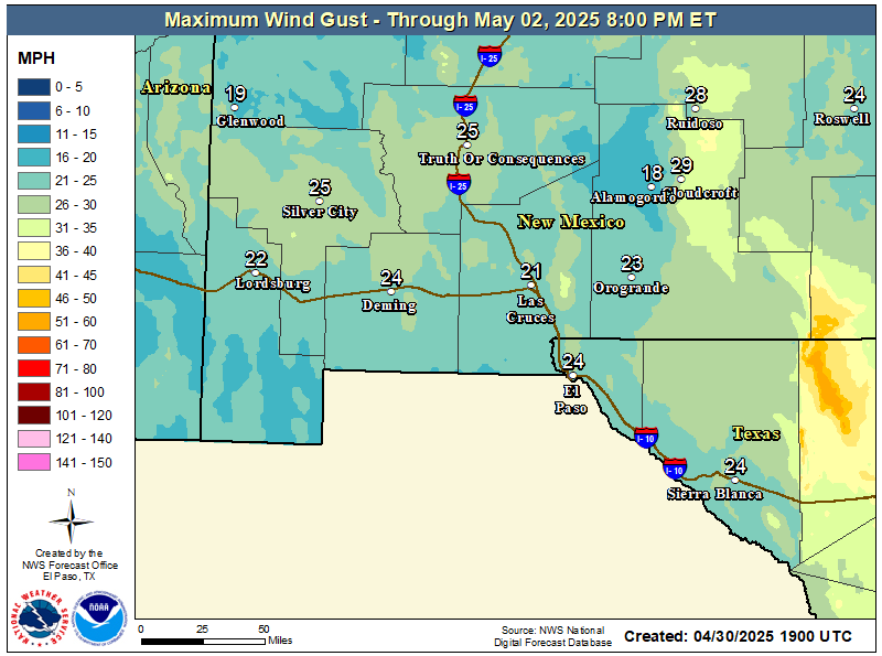
NWS Midland Peak Wind Gust Forecast

New Mexico

Chaves County Plains & Mtn's

Lincoln County

NWS Albuquerque Web Page

NWS Albuquerque Web Page
Click On The Map To Open It Up

NWS Albuquerque New Mexico Precipitation Forecasts

NWS Albuquerque Hazardous Weather Outlook

NWS Albuquerque Hazardous Weather Outlook

NWS Albuquerque Forecast Grpahics

NWS Albuquerque Forecast Graphics

NWS Albuquerque Forecast Graphic

NWS Albuquerque Graphic Forecast

NWS Albuquerque Forecast High Temperatures Today

NWS Albuquerque Forecast Low Temperatures Tonight

NWS Albuquerque Wind Chill Forecast

NWS Albuquerque Peak Wind Gust Forecast

Texas

Otero County

NWS El Paso Web Page

Southern New Mexico & Far West Texas Precipitation Forecasts

NWS El Paso Hazardous Weather Outlook

NWS El Paso Hazardous Weather Outlook
Click On The Image To See The Rest Of The Outlooks

NWS El Paso Hazardous Weather Outlook

NWS El Paso Hazardous Weather Outlook
Click On The Image To See The Rest Of The Outlooks

NWS El Paso Graphic Forecast

NWS El Paso Graphic Forecast

NWS El Paso Graphic Forecast

NWS El Paso Forecast High Temperatures Today

NWS El Paso Forecast Low Temperatures Tonight

NWS El Paso Peak Wind Gust Forecast

NWS Lubbock Web Page

NWS Lubbock Web Page
Click On The Map To Open It Up

NWS Lubbock South Plains Precipitation Forecasts

NWS Lubbock Hazardous Weather Outlook

NWS Lubbock Hazardous Weather Outlook
Click On The Image To See The Rest Of The Outlooks

NWS Lubbock Hazardous Weather Outlook

NWS Lubbock Hazardous Weather Outlook
Click On The Image To See The Rest Of The Outlooks

NWS Lubbock Hazardous Weather Outlook

NWS Lubbock Hazardous Weather Outlook

NWS Lubbock Graphic Forecast

NWS Lubbock Graphic Forecast

NWS Lubbock Graphic Forecast

NWS Lubbock Graphic Forecast

NWS Lubbock Graphic Forecast

NWS Lubbock Hi Temperature Forecast Today

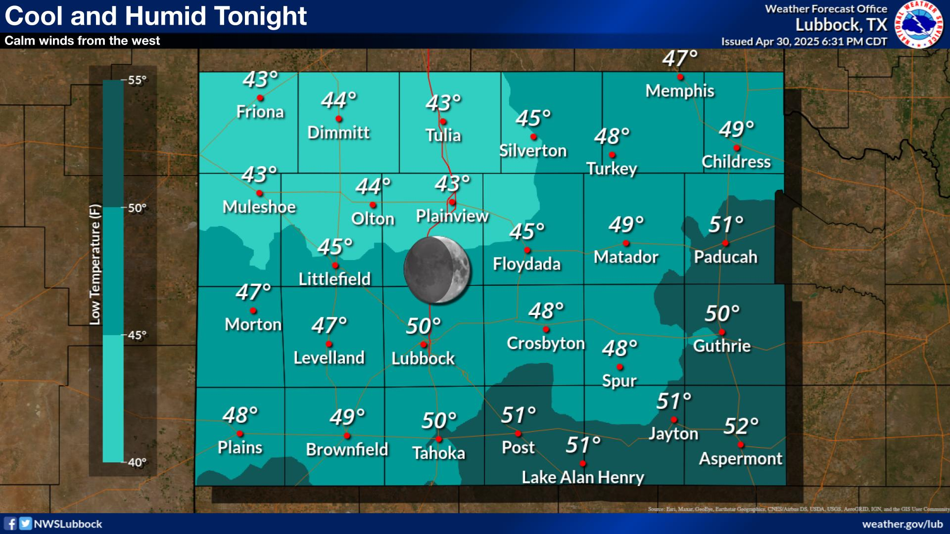
NWS Lubbock Low Temperature Forecast Tomight

My Rainfall Totals - 2.1 NNW Downtown Carlsbad

My Rainfall Totals - 2.1 NNW Downtown Carlsbad

My Seasonal Snowfall Totals - 2.1 NNW Downtown Carlsbad

My Seasonal Snowfall Totals - 2.1 NNW Downtown Carlsbad

Disclaimer

This blog and its contents are for informational purposes only! Always have multiple sources of information available to rely upon during severe weather. Do not rely solely on the Internet. Be weather-aware, plan ahead, have a backup plan, and be ready to act before severe weather strikes your location.