

Strong Cold Front Arrives Tuesday Night.
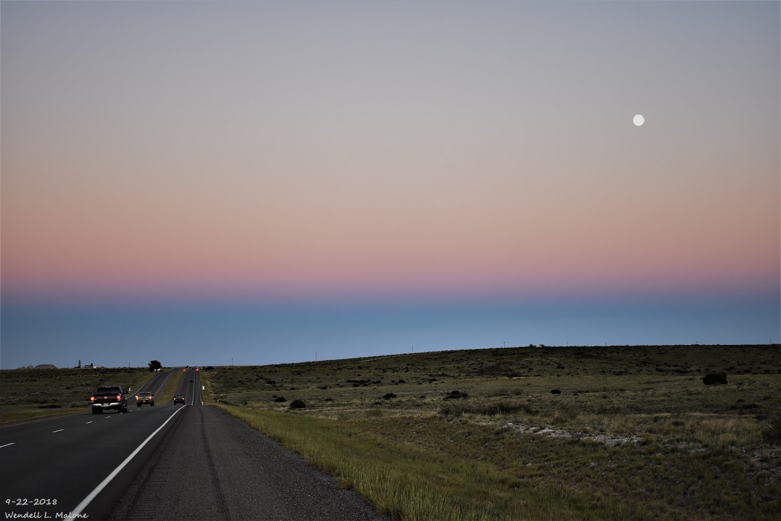
9-22-2018.
Twilight At Sunset West Of Roswell, NM With A Rising Moon.
Jet Stream Becoming More Active.

Valid At 6 PM MDT Wednesday, Sept 26, 2018.
ECMWF 500 MB/18,000' MSL Forecast.

Valid At 6 PM MDT Wednesday, Sept 26, 2018.
With the arrival of fall we are seeing changes in the mid and upper level flow pattern across North America. The jet stream is becoming more active with time. Its getting stronger and dipping a little further to the south. This of course means changes in our local weather.

Valid At 6 PM MDT Tuesday, Sept 25, 2018.
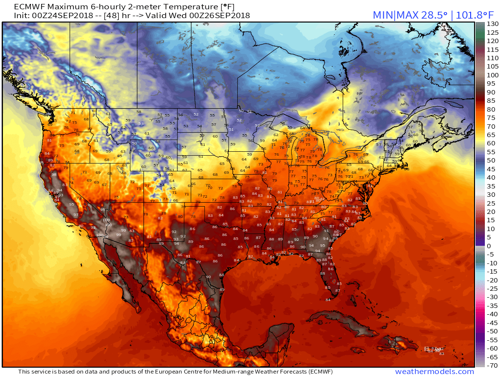
As the jet stream kicks a mid-level trough of low pressure eastward across the northern plains states Tuesday and Wednesday a strong cold front is forecast to enter the local area Tuesday night. After seeing our afternoon highs in the low 90's today and Tuesday we should only be in the mid 60's for highs Wednesday. So our afternoon high temps here in Southeastern New Mexico will be some 5 to nearly 10 degrees above normal today and Tuesday then dropping down to 20 degrees below normal by Wednesday behind the cold front. Afternoon highs on Wednesday will be some 25 to 30 degrees colder than Tuesdays readings. Without a doubt there will be a chill in the air born upon gusty northerly and northeasterly winds Tuesday night into Wednesday early afternoon. Wednesday's weather will be very fall-like.
Today.

Tuesday.
Wednesday.

ECMWF Temperature Anomaly Forecast.

Valid At 6 PM MDT Wednesday, Sept 26, 2018.

Valid Wednesday, Sept 26, 2018.
NWS NDFD Temperature Anomaly Forecast.

Valid Wednesday, Sept 26, 2018.
Rainfall Forecasts.

Valid At 6 AM MDT Thursday, Sept 27, 2018.
ECMWF Storm Total Rainfall Forecast.

Valid At 6 PM MDT Wednesday, Sept 26, 2018.
Not only is much cooler weather on the way but another decent shot at some respectable rainfall totals as well. The European (ECMWF) was the most gun whole with last nights run producing an inch or so of rainfall over parts of SE NM and W TX.
And its possible that a dusting of snow will drape the higher peaks of northern New Mexico. This could also be the case on Sierra Blanca Peak west of Ruidoso above 10,000' Tuesday night into Wednesday morning. I've seen this happen on more than once occasion in my lifetime during the end of September.
(September 24th).

The Truth Is Stranger Than Fiction!


.png)


Comments
Post a Comment
Your comments, questions, and feedback on this post/web page are welcome.