Posts

Showing posts from April, 2019

Current Date & Time

48-Hour Rainfall Totals - As Of April 24th, 2019.
Image
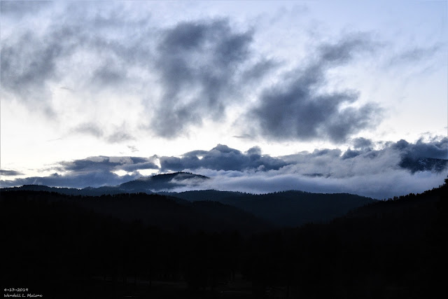
April 13th, 2019. Sunset At Inn Of The Mountain Gods Southwest Of Ruidoso, NM.  NWS 48-Hour Rainfall Totals. (As Of 6 AM MDT Wednesday, April 24th, 2019). NM & W TX 48-Hour Rainfall Totals. (As Of 6 AM MDT Wednesday, April 24th, 2019). SE New Mexico CoCoRaHS Precipitation Summary. (As Of 8 AM MDT Wednesday, April 24th, 2019). NWS Albuquerque 48-Hour Precipitation/Storm Summary. PUBLIC INFORMATION STATEMENT NATIONAL WEATHER SERVICE ALBUQUERQUE NM 935 AM MDT WED APR 24 2019 PRELIMINARY SNOW REPORTS ACROSS NORTH AND CENTRAL NEW MEXICO FOR THE LAST 48 HOURS. ...COUNTY... STORM TOTAL TIME/DATE OF LOCATION /INCHES/ MEASUREMENT ...COLFAX COUNTY... RED RIVER 11 ENE 11.0 700 AM 4/23 - SHUREE SNOTEL. RED RIVER 5 ESE 9.0 300 AM 4/23 - RED RIVER PASS SNOTEL. BLACK LAKE 5 ESE 5.0 915 ...

Thunderstorms & Cooler Temps Mon Night - Wednesday!

Image
April 13th, 2019. Looking west across the take at the Inn of The Mountain Gods southwest of Ruidoso as light snow was falling. There was 1/2" on the ground that Saturday morning. Surface Map Forecast. Valid At 6 PM MDT Monday, April 15th, 2019. GFS 500 Millibar (18,000' MSL) Forecast. Valid At 6 PM MDT Monday, April 15th, 2019. Valid At 6 AM MDT Wednesday, April 17th, 2019. Storm Prediction Center Severe Weather Outlook. (Day 2 Severe Weather Outlook Issued At 11:37 PM MDT Easter Sunday). Severe Weather Outlook For Monday, April 15th, 2019. A couple of features are forecast to come together the first half of this upcoming work week to give the area a decent shot of wetting rains, mountain snows across northern New Mexico, and cooler temperatures.  An upper level trough of low pressure will continue dropping southeastward from southern Nevada this Easter Sunday morning into far southwestern Arizona or northwestern Mexico by...
Ruidoso Flash Flooding From Dolly's Remnants July 26th - 28th, 2008.

Image
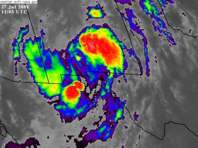
5:45 AM MDT July 27th, 2008. Infrared Satellite Image Of Remnant Moisture From Former Hurricane Dolly. Remnants Of Hurricane Dolly July 27, 2008. At the end of July, 2008 Hurricane Dolly moved inland near Brownsville, Texas as a Category 1 Hurricane. Her remnant moisture then moved northwestward up the Rio Grande Valley and into southern New Mexico. During the night of Saturday July 26th into the following day, excessive rainfall fell over the Sacramento Mountains, and the Sierra Blanca Wilderness drainage area west of Ruidoso, New Mexico. Excerpts From My Blog July 27, 2008- "As a result, some of the worst flooding in 100 years occured in Ruidoso, New Mexico late Saturday night into Sunday. The Rio Ruidoso River rose to over 11 feet in Ruidoso, and the Mescalero Lake at the Inn of the Mountain Of Gods rose to within a foot of the spillway. Bonito Lake was overflowing it's spillway. Many roads in the Ruidoso area were closed includ...

Storm Summary April 18th, 2019.

Image
Blog Updated At 3:08 PM MDT Thursday, April 18th, 2019. April 12th, 2019. Snow showers partially obscuring the Capitan Mountains. NWS 2-Day Precipitation Summary. (As Of 6 AM MDT Thursday, April 18th, 2019). New Mexico Reported 2-Day Precipitation Totals. (As Of 9 AM MDT Thursday, April 18th, 2019). Note: These 2-day totals do not include the New Mexico CoCoRaHS totals. These totals include a combination of professional and amateur automated weather station liquid precipitation reports.   SE New Mexico CoCoRaHS 2-Day Precipitation Totals. (As Of 9 AM MDT Thursday, April 18th, 2019). Note: The CoCoRaHS 2-day precipitation totals listed above are collected from a core group of volunteer rainfall and snowfall observers (ordinary citizen public reports) and do not include the precipitation totals reported from automated weather stations.  Cloudcroft At 10:02 AM MDT This Morning. Ski Apache...

My Blog Archive List (July 2010 - August 2025).

Show more

My Current Weather Conditions

MY CoCoRaHS Precipitation Data

NWS Albuquerque 2026 Winter Outlook (Updated Nov 3rd).

NWS Midland Web Page

NWS Midland Web Page
Click On The Map To Open It Up

SE New Mexico & West Texas Precipitation Forecasts

Eddy County

Guadalupe Mtns Eddy & Culberson County

Lea County

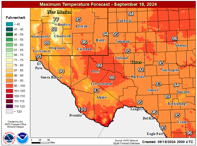
NWS Midland Forecast High Temperatures Today

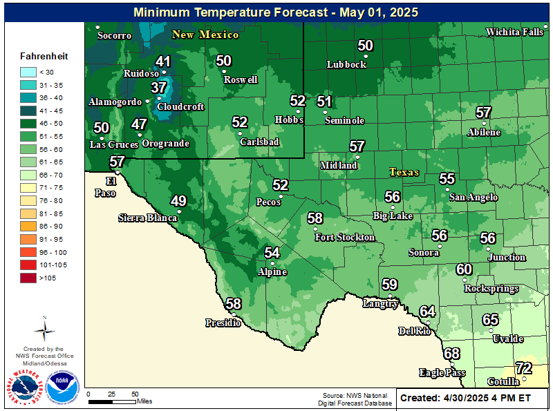
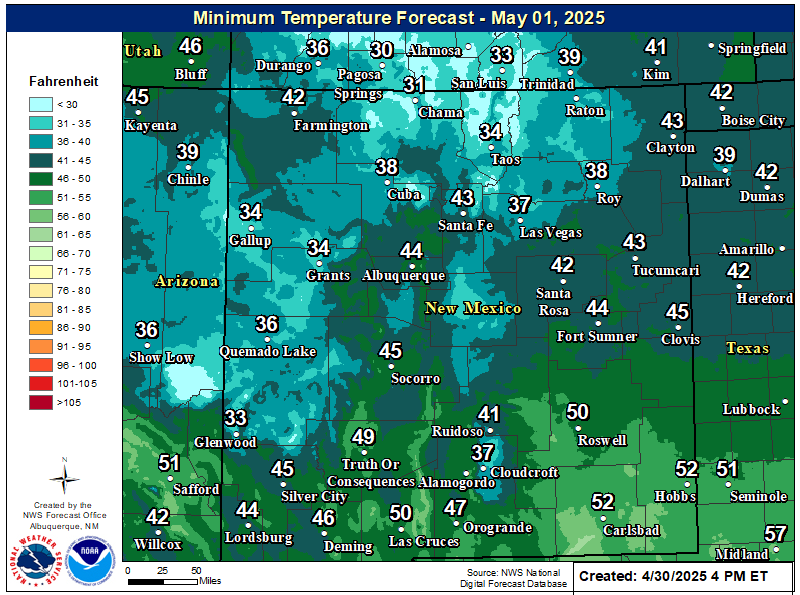
NWS Midland Forecast Low Temperatures Tonight

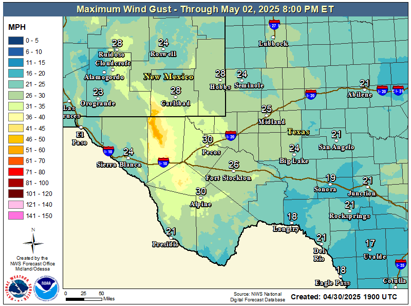
NWS Midland Peak Wind Gust Forecast

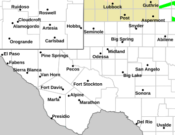
NWS Midland Forecast Graphic

NWS Midland Forecast Graphic
High temperatures will continue to trend downward through early next week, with below average high temperatures for the area Monday and Tuesday despite lows generally remaining above frost advisory criteria. A gradual warming trend sets in after Wednesday, but rain chances will only return to the area late week into next weekend.

NWS Midland Graphic Forecast

NWS Midland Graphic Forecast
A record daily maximum rainfall of 0.73 inches was set at Midland on Saturday, November 14, 2026. This ties the previous record of 0.73 inches set in 2004.

NWS Albuquerque Web Page

NWS Albuquerque Web Page
Click On The Map To Open It Up

NWS Albuquerque New Mexico Precipitation Forecasts

New Mexico

Chaves County Plains & Mtn's

Lincoln County

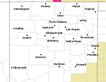
NWS Albuquerque Hazardous Weather Outlook

NWS Albuquerque Hazardous Weather Outlook

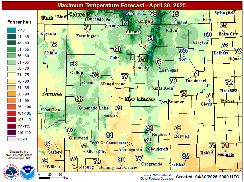
NWS Albuquerque Forecast High Temperatures Today

NWS Albuquerque Forecast Low Temperatures Tonight

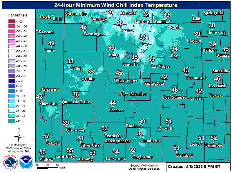
NWS Albuquerque Wind Chill Forecast

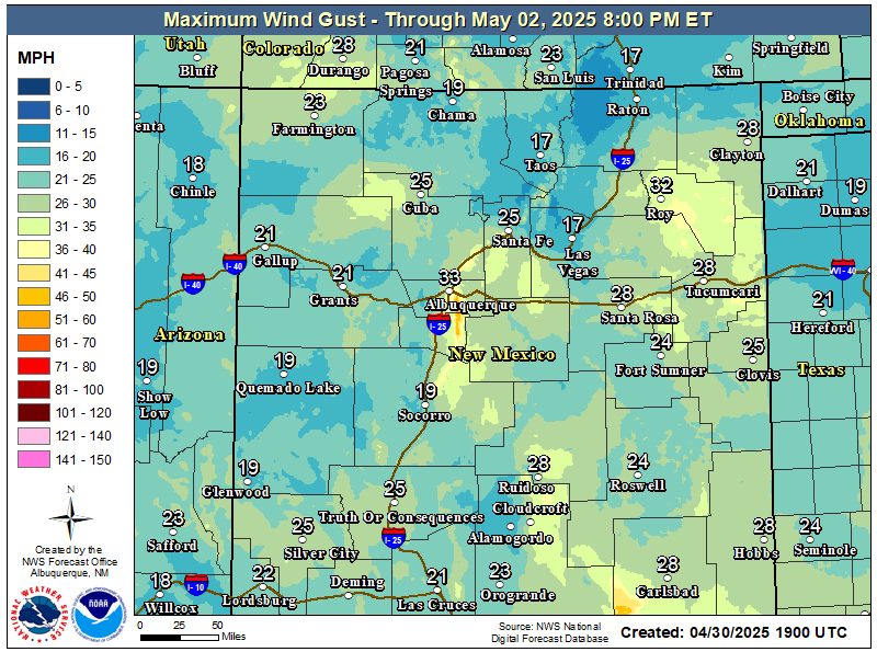
NWS Albuquerque Peak Wind Gust Forecast

NWS Albuquerque Graphic Forecast

NWS Albuquerque Graphic Forecast
Pockets of fog and freezing fog will persist in western valley locations, as well as the northeast and east-central plains. Slick spots are likely on roads, especially where freezing fog forms.

NWS Albuquerque Graphic Forecast

NWS Albuquerque Graphic Forecast
Increasing south to southwest winds are expected across some parts of northern and central NM Tuesday ahead of an approaching storm system. Some difficult crosswinds on east to west oriented roadways. Unsecured objects may blow around.

NWS Albuquerque Graphic Forecast

NWS Albuquerque Graphic Forecast
Calmer weather returns for most today and Monday before the next storm system brings rain and mountain snow chances back by late Tuesday. Another system is poised to pass the state late in the work week.

NWS El Paso Web Page

Southern New Mexico & Far West Texas Precipitation Forecasts

Texas

Otero County

NWS El Paso Hazardous Weather Outlook

NWS El Paso Hazardous Weather Outlook
Click On The Image To See The Rest Of The Outlooks

NWS El Paso Hazardous Weather Outlook

NWS El Paso Hazardous Weather Outlook
Click On The Image To See The Rest Of The Outlooks

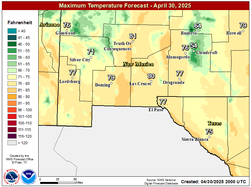
NWS El Paso Forecast High Temperatures Today

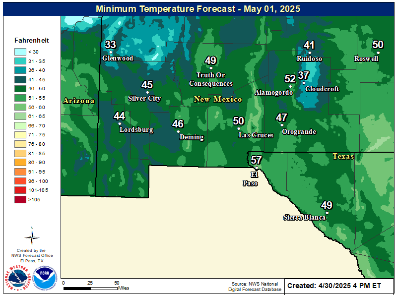
NWS El Paso Forecast Low Temperatures Tonight

NWS El Paso Wind Chill Forecast

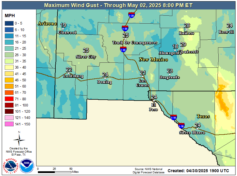
NWS El Paso Peak Wind Gust Forecast

NWS El Paso Graphic Forecast

NWS El Paso Graphic Forecast
Sunday will start out cooler with lows dipping into the mid 30s and low 40s. Those temperatures becoming near normal by afternoon. Skies will be mostly clear throughout the day with some high elevation clouds. Winds will stay relatively light at 5-10 MPH predominantly out of the northeast by afternoon.

NWS El Paso Graphic Forecast

NWS El Paso Graphic Forecast
This is the seven day temperature outlook from select cities in southern New Mexico and far west Texas. Overall temperatures will remain near or slightly above seasonal averages.

NWS Lubbock Web Page

NWS Lubbock Web Page
Click On The Map To Open It Up

NWS Lubbock Hazardous Weather Outlook

NWS Lubbock Hazardous Weather Outlook
Click On The Image To See The Rest Of The Outlooks

NWS Lubbock Hazardous Weather Outlook

NWS Lubbock Hazardous Weather Outlook
Click On The Image To See The Rest Of The Outlooks

NWS Lubbock South Plains Precipitation Forecasts

NWS Lubbock Hi Temperature Forecast Today

NWS Lubbock Low Temperature Forecast Tomight

NWS Lubbock Graphic Forecast

NWS Lubbock Graphic Forecast
The cloudy conditions will prevail overnight with another threat of fog forming this evening. Lows to range from 36° (on Caprock) to 44° (off Caprock).

NWS Lubbock Graphic Forecast

NWS Lubbock Graphic Forecast
The week will start off foggy and cool before eventually warming into the 60s by mid week. Shower and thunderstorm chances return Thursday.

My Rainfall Totals - 2.1 NNW Downtown Carlsbad

My Rainfall Totals - 2.1 NNW Downtown Carlsbad

My Seasonal Snowfall Totals - 2.1 NNW Downtown Carlsbad

My Seasonal Snowfall Totals - 2.1 NNW Downtown Carlsbad

Disclaimer

This blog and its contents are for informational purposes only! Always have multiple sources of information available to rely upon during severe weather. Do not rely solely on the Internet. Be weather-aware, plan ahead, have a backup plan, and be ready to act before severe weather strikes your location.