Current Date & Time

Fall Freeze Data For New Mexico

July Rainfall Totals To Date & Number Of Days 100+.

July 22, 2022.
C-Hill Carlsbad, New Mexico.

(As Of 9 AM MDT Sunday, July 24, 2022).


(As Of 9 AM MDT Sunday, July 24, 2022).

(Friday, July 22, 2022).


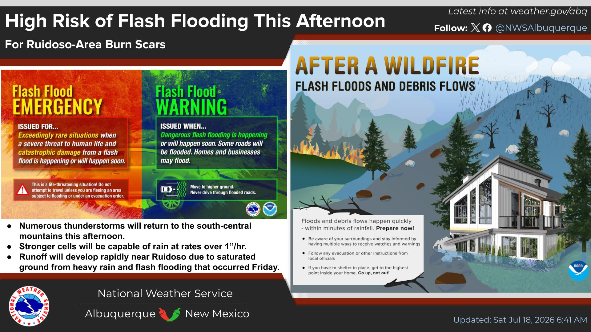
Slow-moving thunderstorms dumped on the southern Sacramento mountains Friday afternoon. Area radar and satellite estimates indicate that 2"4" of rain fell in the Cox Canyon area northward to the 16-Springs Canyon area. Tim Steeler reported 4.00" of rain Friday afternoon between Cloudcroft and Weed on St Hwy 130. Localized flash flooding occurred. Over the past three days pockets of heavy rainfall have also fallen near the Ruidoso area, northeast of Roswell on the Caprock, and northwest of Hope.


(As Of Saturday, July 23, 2022).


(Valid Today Through Sunday, July 31, 2022).


Mid-summer to late summer is the time of the year when afternoon thunderstorms often are slow movers due to light winds aloft that steer them. They also can and often do persist long into the night sometimes after sunrise the following day. This has been the case this summer.

Overall scattered afternoon and nighttime thunderstorms remain in our local forecasts all of this upcoming week. The most widespread activity will occur over the mountains. With the Four Corners mid-upper level high losing its death grip on the state the monsoon will really become active late this week. A cold front is forecast to move south down the eastern plains late in the week which will add to the mix and increase thunderstorm activity over the area even more so. 

Of course, as has been the case so far this summer the Southeastern Plains will be the least favored area to get in on the fun. We won't be totally left out but can expect hit-and-miss storms that won't be as widespread as other areas of the state over the next week.


Like me, most of you are getting tired of the never-ending 100º plus days. The Caprock Climate Co-Op Station located northeast of Roswell on the Caprock leads the pack with 45 days this year that has hit the century mark or higher. The Roswell Airport is a close second with 43 days. Here at our home in Carlsbad, my Davis Vantage Pro Plus PWS has recorded 36 days. Fall can't come soon enough this year.

There Are None So Blind As Those Who "Will - Not" To See...107.

Comments

My Blog Archive List (July 2010 - August 2025).
Show more

My Current Weather Conditions

NWS Albuquerque 2026 Winter Outlook

Eddy County

Guadalupe Mtns Eddy & Culberson County

Lea County

NWS Midland Web Page

NWS Midland Web Page
Click On The Map To Open It Up

SE New Mexico & West Texas Precipitation Forecasts

NWS Midland Hazardous Weather Outlook

NWS Midland Hazardous Weather Outlook
Click On The Image To See The Rest Of The Outlooks

NWS Midland Hazardous Weather Outlook

NWS Midland Hazardous Weather Outlook
Click On The Image To See The Rest Of The Outlooks

NWS Midland Hazardous Weather Outlook

NWS Midland Hazardous Weather Outlook

NWS Midland Forecast Graphic

NWS Midland Graphic Forecast

NWS Midland Forecast Graphic

NWS Midland Forecast High Temperatures Today

NWS Midland Forecast Low Temperatures Tonight

New Mexico

Chaves County Plains & Mtn's

Lincoln County

NWS Albuquerque Web Page

NWS Albuquerque Web Page
Click On The Map To Open It Up

NWS Albuquerque New Mexico Precipitation Forecasts

NWS Albuquerque Hazardous Weather Outlook

NWS Albuquerque Hazardous Weather Outlook

NWS Albuquerque Forecast Grpahics

NWS Albuquerque Forecast Graphics

NWS Albuquerque Forecast Graphic

NWS Albuquerque Graphic Forecast

NWS Albuquerque Forecast High Temperatures Today

NWS Albuquerque Forecast Low Temperatures Tonight

NWS Albuquerque Peak Wind Gust Forecast

Texas

Otero County

NWS El Paso Web Page

Southern New Mexico & Far West Texas Precipitation Forecasts

NWS El Paso Hazardous Weather Outlook

NWS El Paso Hazardous Weather Outlook
Click On The Image To See The Rest Of The Outlooks

NWS El Paso Hazardous Weather Outlook

NWS El Paso Hazardous Weather Outlook
Click On The Image To See The Rest Of The Outlooks

NWS El Paso Hazardous Weather Outlook

NWS El Paso Hazardous Weather Outlook

NWS El Paso Hazardous Weather Outlook

NWS El Paso Graphic Forecast

NWS El Paso Graphic Forecast

NWS El Paso Graphic Forecast

NWS El Paso Graphic Forecast

NWS El Paso Forecast High Temperatures Today

NWS El Paso Forecast Low Temperatures Tonight

NWS Lubbock Web Page

NWS Lubbock Web Page
Click On The Map To Open It Up

NWS Lubbock South Plains Precipitation Forecasts

NWS Lubbock Hazardous Weather Outlook

NWS Lubbock Hazardous Weather Outlook
Click On The Image To See The Rest Of The Outlooks

NWS Lubbock Hazardous Weather Outlook

NWS Lubbock Hazardous Weather Outlook
Click On The Image To See The Rest Of The Outlooks

NWS Lubbock Hazardous Weather Outlook

NWS Lubbock Hazardous Weather Outlook

NWS Lubbock Graphic Forecast

NWS Lubbock Graphic Forecast

NWS Lubbock Graphic Forecast

NWS Lubbock Hi Temperature Forecast Today

NWS Lubbock Low Temperature Forecast Tomight

My Rainfall Totals - 2.1 NNW Downtown Carlsbad

My Rainfall Totals - 2.1 NNW Downtown Carlsbad

My Seasonal Snowfall Totals - 2.1 NNW Downtown Carlsbad

My Seasonal Snowfall Totals - 2.1 NNW Downtown Carlsbad

Disclaimer

This blog and its contents are for informational purposes only! Always have multiple sources of information available to rely upon during severe weather. Do not rely solely on the Internet. Be weather-aware, plan ahead, have a backup plan, and be ready to act before severe weather strikes your location.