


Numerous To Widespread Slow Moving T-Storms Will Produce Excessive Rainfall & Flash Flooding!
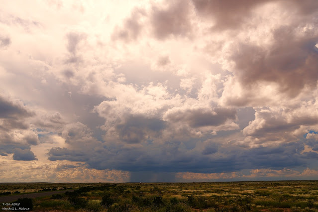
July 28, 2025. Afternoon Monsoonal T-Storm. 15 Miles Southwest Of Artesia, NM. Early Morning Double Rainbow In Ruidoso This Morning. Blog Updated At 3:27 PM MDT. Ruidoso Under The Gun Again! A monsoonal surge of moisture stretches across most of New Mexico this morning. This, combined with an inverted mid-level trough of low pressure stretching northward into southern New Mexico from northern Mexico, and a Mesoscale Convective Vortex (MCV) located over southwestern New Mexico, helped to produce moderate to heavy rain over southern New Mexico overnight into this morning. A band of showers and thunderstorms are ongoing as of 9:30 AM MDT this Tuesday morning, stretching northward from southern New Mexico to the Colorado state line. A Facebook friend in Dell City, Texas, west of Guadalupe Pass, reported 4.50" overnight. Another round of numerous to widespread thunderstorms is forecast across much of the state today into tonight. Like last night, some of these may last into...


