Current Date & Time

Fall Freeze Data For New Mexico

Frost On The Pumpkin This Morning.

Click On The Photos To Enlarge Them.

Frost On Our Grass This Morning.

Frost On Out Pumpkin & Grass This Morning.

Jaycee Park In Artesia, NM Yesterday.

First Frost/Freeze Of The Season.
(Low Temperatures)

Updated At 6:00 PM MDT.

Chaves County-

8-Mile Draw Raws 30
Roswell Climate 31
Roswell Airport ASOS 32
10 ESE Hagerman 33
Dunken Raws 33

Eddy County-

Hope Climate 32
Cottonwood 32
Alfadale - Atoka 32
Artesia Airport AWOS 32
Queen Raws 33
2.1 NNW Downtown Carlsbad 34
Carlsbad Airport ASOS 34
Carlsbad Climate 36
Caprock Raws 38
Carlsbad Caverns Climate 38
Bat Draw Raws - Carlsbad Caverns 41

Lea County-

Crossroads 32
2 SW Tatum 32
Jal Climate 32
Willow Wells 33
Tatum Climate 34
Paduca Raws 34
East Hobbs 35
Hobbs Airport 36
Woody Farms - 11 N Hobbs 37

Culberson County-

Dell City 32
Dog Canyon Climate 32
Pine Springs (GMN) 33
Pinery Raws 35
McKittrick Canyon Raws 35
Dog Canyon Raws 37
Bowl Raws 38

Temperature Data Is Courtesy Of-


The Truth Is Stranger Than Fiction!

Comments

  1. Nice pictures down there...seems like that is a bit early? 35F low today, coldest of fall...2nd AM of light frost on roofs. Some plants nipped!

    ReplyDelete

Post a Comment

Your comments, questions, and feedback on this post/web page are welcome.

My Blog Archive List (July 2010 - August 2025).

Show more

My Current Weather Conditions

MY CoCoRaHS Precipitation Data

NWS Albuquerque 2026 Winter Outlook

Eddy County

Guadalupe Mtns Eddy & Culberson County

Lea County

NWS Midland Web Page

NWS Midland Web Page
Click On The Map To Open It Up

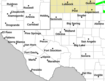
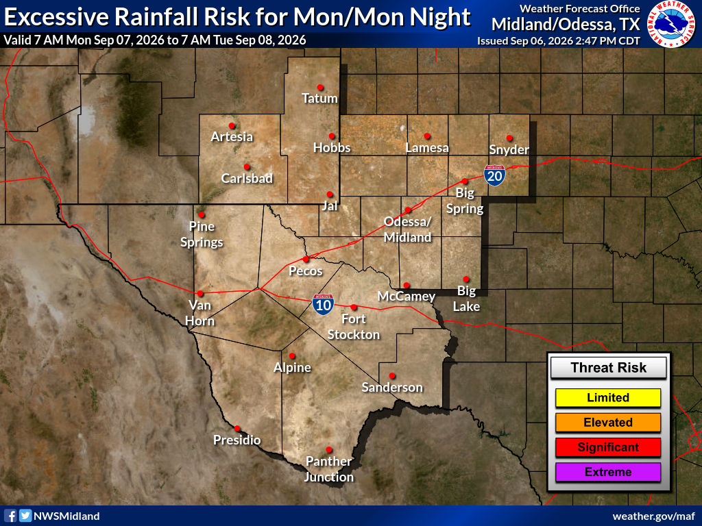
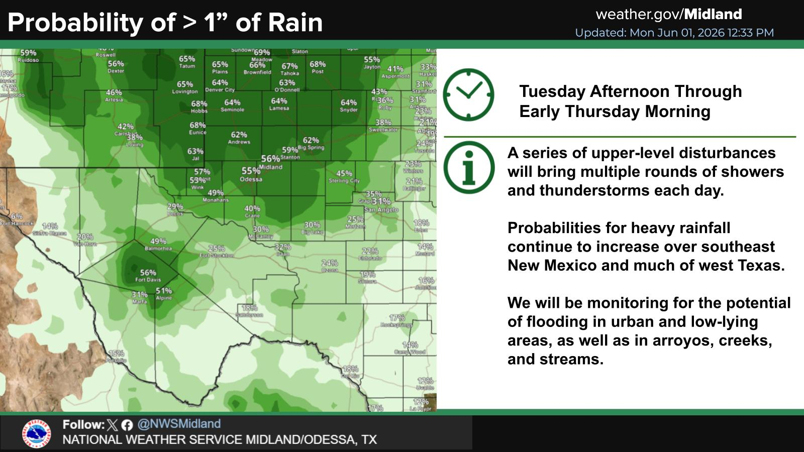
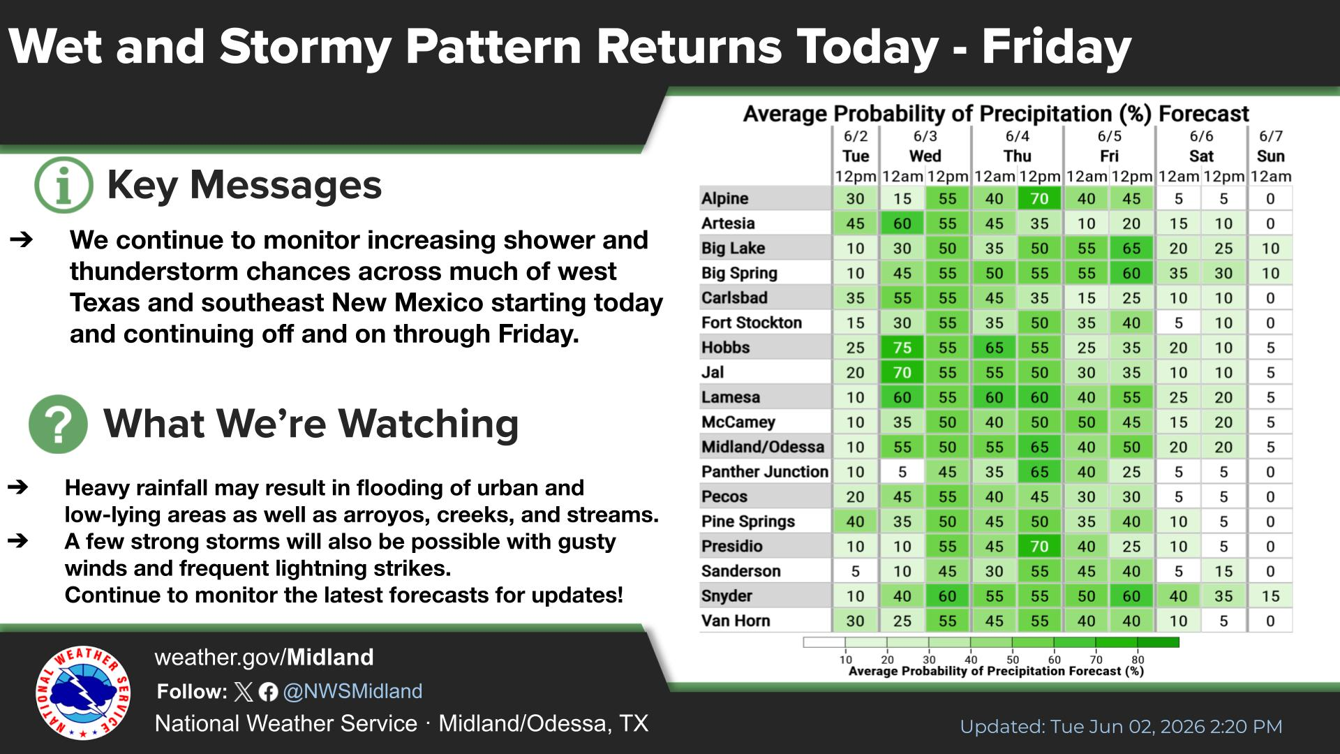
SE New Mexico & West Texas Precipitation Forecasts

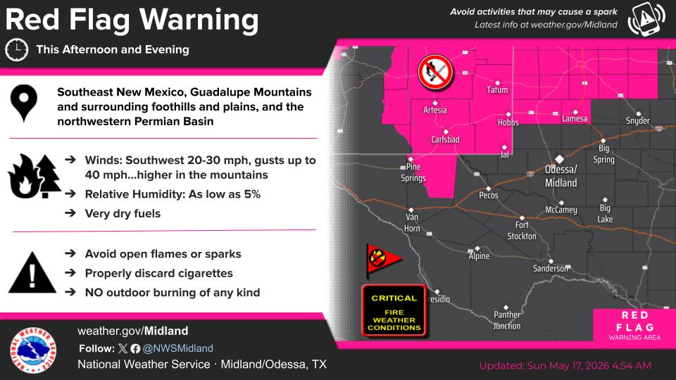
NWS Midland Hazardous Weather Outlook

NWS Midland Hazardous Weather Outlook
Click On The Image To See The Rest Of The Outlooks

NWS Midland Hazardous Weather Outlook

NWS Midland Hazardous Weather Outlook

NWS Midland Hazardous Weather Outlook

NWS Midland Hazardous Weather Outlook
Click On The Image To See The Rest Of The Outlooks

NWS Midland Forecast Graphic

NWS Midland Graphic Forecast

NWS Midland Forecast Graphic

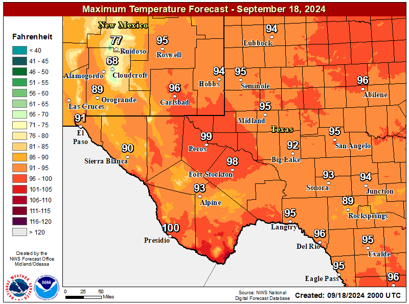
NWS Midland Forecast High Temperatures Today

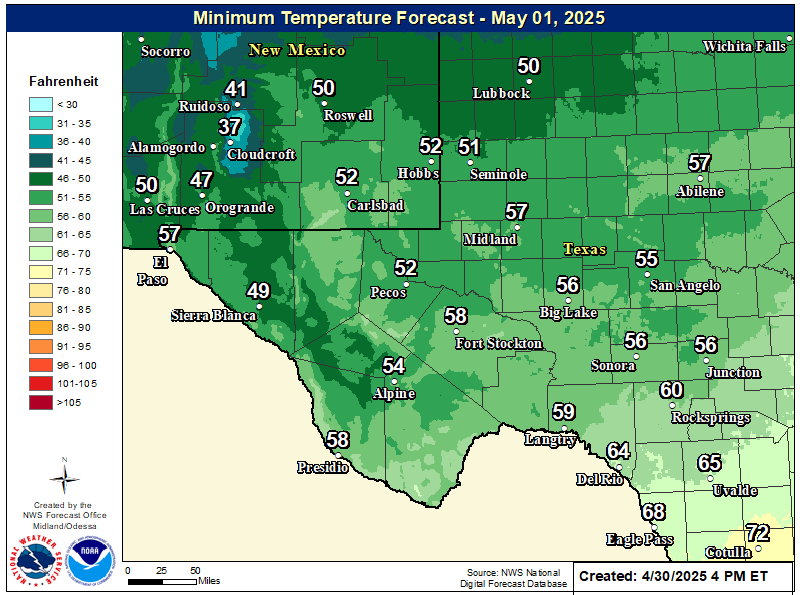
NWS Midland Forecast Low Temperatures Tonight

New Mexico

Chaves County Plains & Mtn's

Lincoln County

NWS Albuquerque Web Page

NWS Albuquerque Web Page
Click On The Map To Open It Up

NWS Albuquerque New Mexico Precipitation Forecasts

NWS Albuquerque Hazardous Weather Outlook

NWS Albuquerque Graphic Forecast

NWS Albuquerque Forecast Grpahics

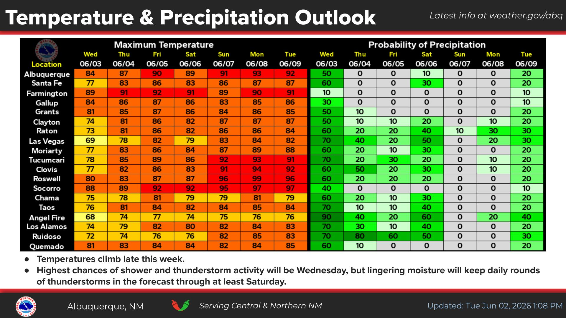
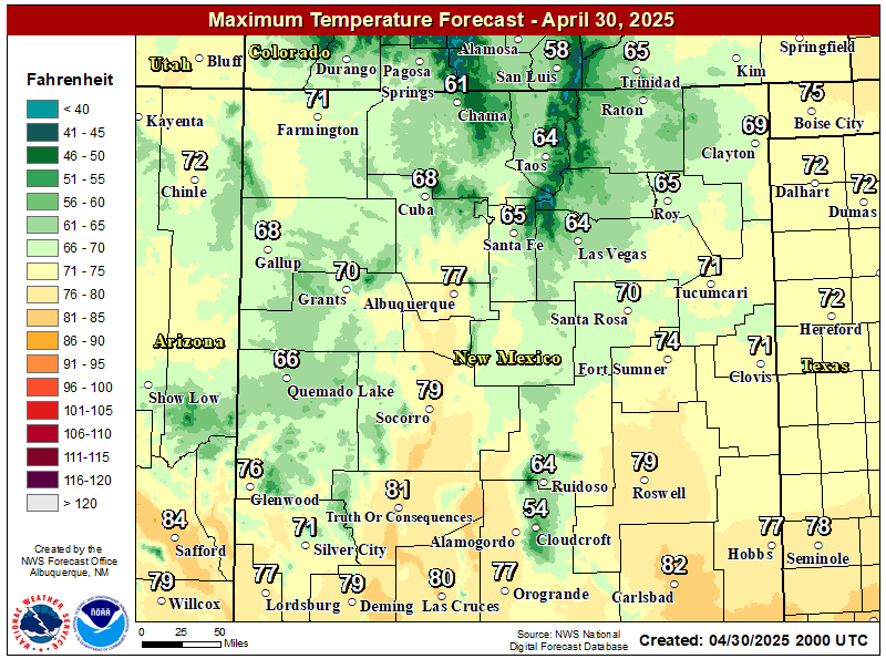
NWS Albuquerque Forecast High Temperatures Today

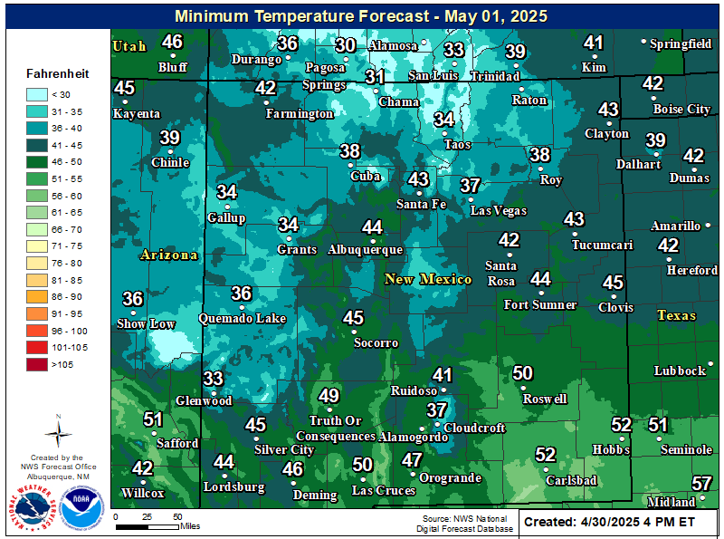
NWS Albuquerque Forecast Low Temperatures Tonight

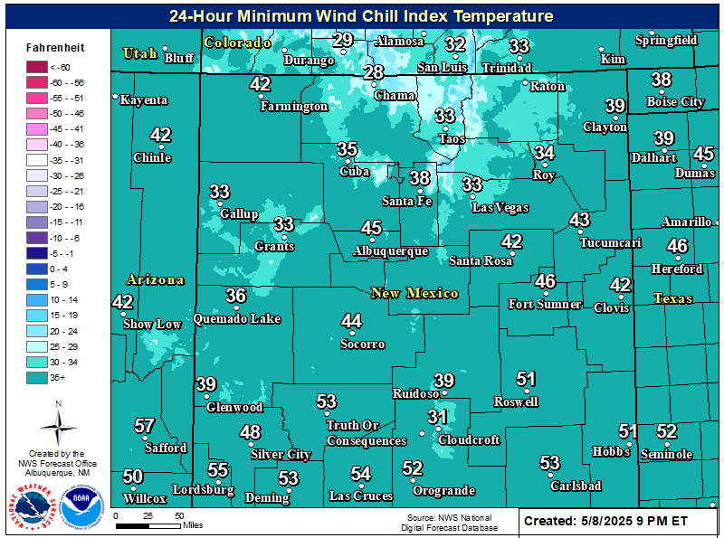
NWS Albuquerque Wind Chill Forecast

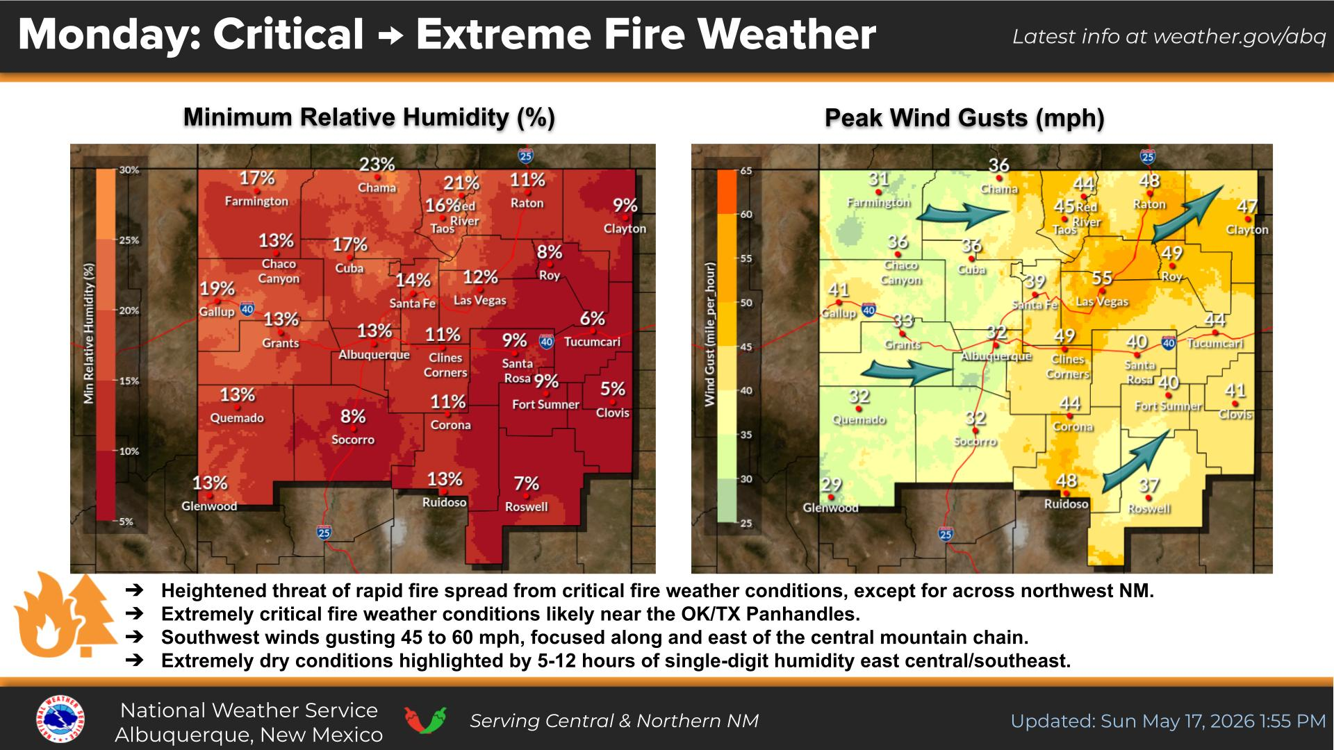
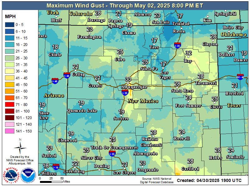
NWS Albuquerque Peak Wind Gust Forecast

Texas

Otero County

NWS El Paso Web Page

Southern New Mexico & Far West Texas Precipitation Forecasts

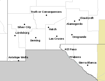
NWS El Paso Hazardous Weather Outlook

NWS El Paso Hazardous Weather Outlook
Click On The Image To See The Rest Of The Outlooks

NWS El Paso Hazardous Weather Outlook

NWS El Paso Hazardous Weather Outlook
Click On The Image To See The Rest Of The Outlooks

NWS El Paso Graphic Forecast

NWS El Paso Graphic Forecast

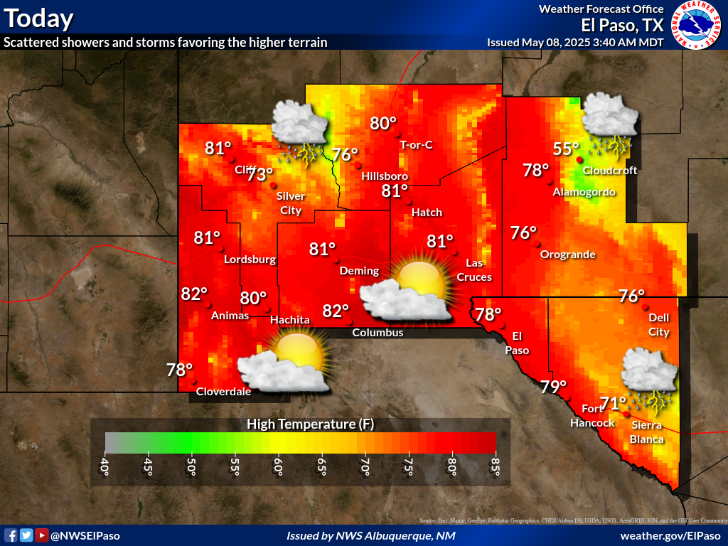
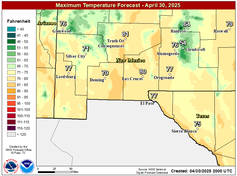
NWS El Paso Forecast High Temperatures Today

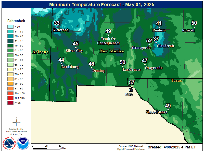
NWS El Paso Forecast Low Temperatures Tonight

NWS El Paso Wind Chill Forecast

NWS Lubbock Web Page

NWS Lubbock Web Page
Click On The Map To Open It Up

NWS Lubbock South Plains Precipitation Forecasts

NWS Lubbock Hazardous Weather Outlook

NWS Lubbock Hazardous Weather Outlook
Click On The Image To See The Rest Of The Outlooks

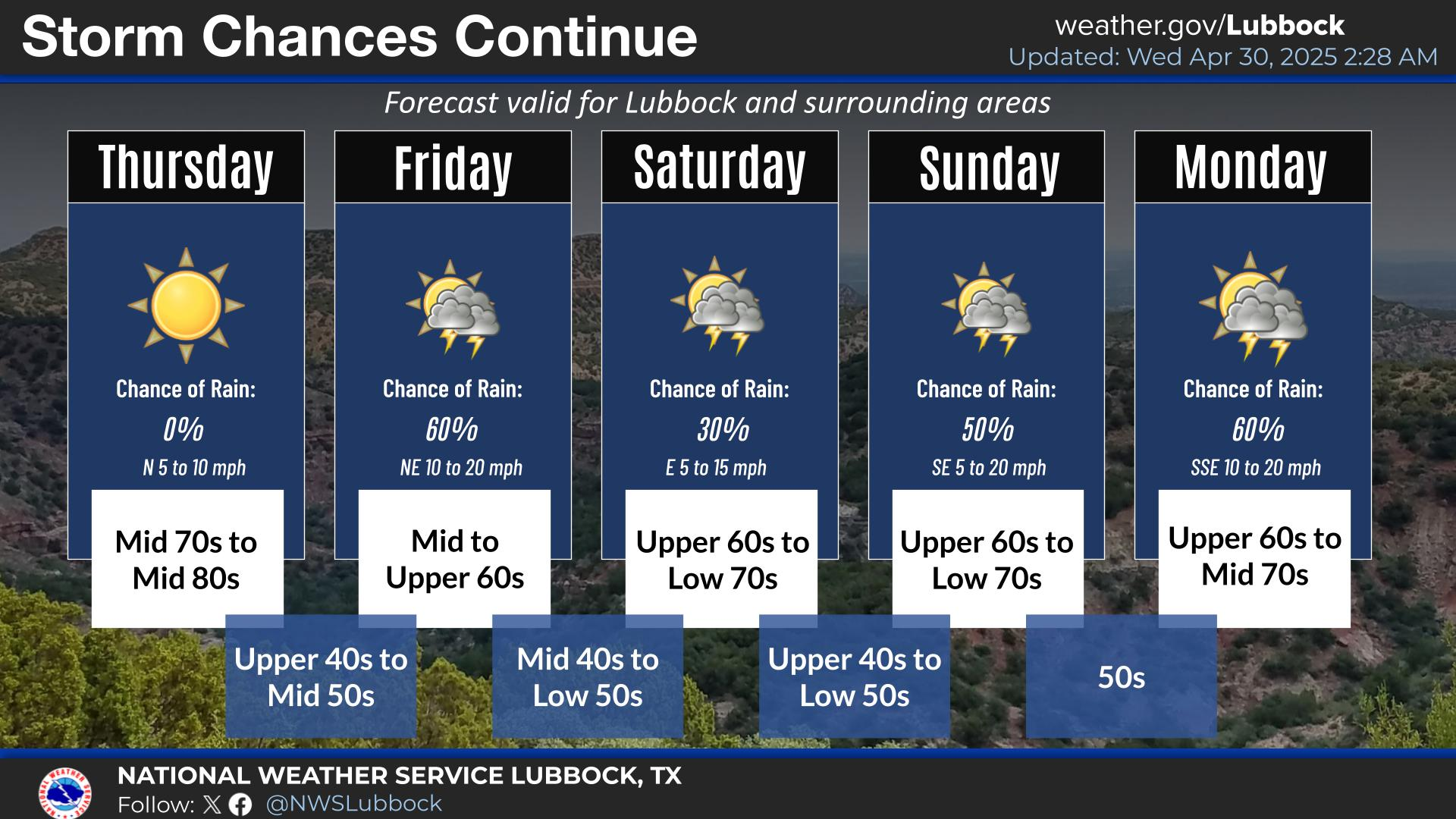
NWS Lubbock Graphic Forecast

NWS Lubbock Graphic Forecast

NWS Lubbock Hi Temperature Forecast Today

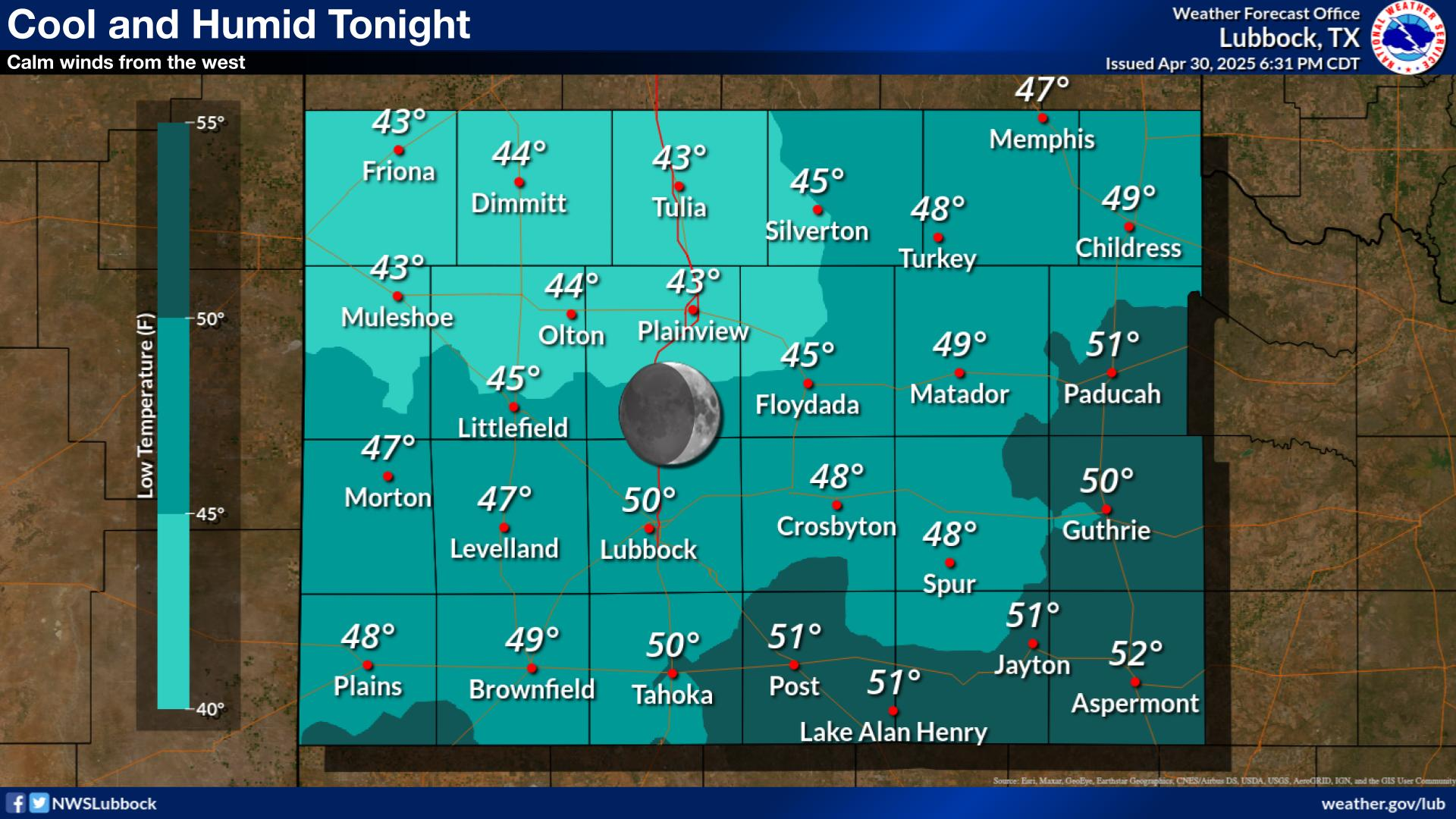
NWS Lubbock Low Temperature Forecast Tomight

My Rainfall Totals - 2.1 NNW Downtown Carlsbad

My Rainfall Totals - 2.1 NNW Downtown Carlsbad

My Seasonal Snowfall Totals - 2.1 NNW Downtown Carlsbad

My Seasonal Snowfall Totals - 2.1 NNW Downtown Carlsbad

Disclaimer

This blog and its contents are for informational purposes only! Always have multiple sources of information available to rely upon during severe weather. Do not rely solely on the Internet. Be weather-aware, plan ahead, have a backup plan, and be ready to act before severe weather strikes your location.