Posts

Showing posts from April, 2011

Current Date & Time

Fall Freeze Data For New Mexico

April 27, 2011 Historic Tornado Outbreak Update

Image
Click On The Map To Enlarge It. Preliminary Tornado Track Map. National Weather Service- April 2011 Tornado Information. Click On The Map To Enlarge It. Map Is Courtesy Of AccuWeather.com. (Click On This Link To Read Jesse Ferrell's Blog On This Event.) Staggering Death Toll & Destruction. Fox News is reporting that the death toll from the Historic Tornado Outbreak that occurred April 27-28, 2011 is now up to 339 . That number is expected to continue to rise as many people remain missing, and authorities continue to struggle with the overwhelming and daunting task of search and rescue efforts. This outbreak has now produced the second highest death toll from a tornado outbreak in the nation since the March 18, 1925 event killed 747 people. The Truth Is Stranger Than Fiction!

Record Heat-High Winds-Extremely Critically Dangerous Fire Weather Conditions Today!

Image
Click On The Photos To Enlarge Them. Last Chance Fire East Of Queen, NM. Slurry Drop On The Last Chance Fire Near Queen, NM. Photos Courtesy Of Joel Arnwine - Eddy Co NM Emergency Mgr. Hot-Extremely Dry-Windy Today! Special Weather Briefing Video! Last Chance Fire Update- As of 8:30 PM MDT last night the Last Chance Fire was 70% contained. It has burned 53,342 acres so far. For additional information on this and other fires in the state please visit this web site- New Mexico Fire Information . Here we go again. Our forecast high temperatures here in the Pecos Valley today range from 96 in Hobbs, 98 at Roswell and Artesia, to 99 at Carlsbad. New daily record high temperature records may be established over the area today. Today's highs will be about ten degrees above normal. A Wind Advisory is in effect for Eddy, Chaves, and Lea Counties today. Hot, dry, down slopping southwesterly winds will kick up around midday at sustained speeds of around 30-40 mph with g...

HISTORIC TORNADO OUTBREAK TODAY!

Image
A Day Of Devastation As The Death Toll Continues To Climb! Updated Thursday April 28, 2011 1:30 PM MDT- As the day broke across the Southern US this morning, it was very evident that today's news was not going to be good. It is not, and it gets worse by the hour. According to the major news outlets: Fox News , CNN News , and  Yahoo Headline News , the dead toll from yesterday's deadly tornado outbreak stands at around 271 as of 1:30 PM MDT . Hundreds more have been injured. Many people are still missing.The count goes up by the hour, and I am just sickened by all of the death and destruction. There is little doubt that what we are witnessing is nothing short of historic. Preliminary reports indicate that there were 150 tornadoes that touched down yesterday. Its way too early to know the exact count, and this number may go up or down as the Damage Assessment Teams go to work trying to sort the details out. It will be awhile before the exact number is known. ...

Short Break - More Wind Record High Temps Friday.

Image
Using records since 1949, January 1 through April 24 of 2011 has been the driest start to the calendar year with just 0.09 inches of precipitation reported.  If we look at the historical data for the Roswell area that dates back to 1895, 2011 still ranks as the driest start to the calendar year. Graph Is Courtesy Of The Albuquerque NWS Office. Peak Wind Gusts Reported Tue- Guadalupe Pass 85 mph San Augustin Pass 84 mph Bowl Raws 71 mph 8-Mile Draw Raws 63 mph Pinery Raws 61 mph Cannon AFB - Clovis 60 mph Sierra Blanca Regional Arpt 60 mph Dunken Raws 59 mph Clovis Municipal Arpt 56 mph Tatum MesoNet 55 mph High Roll CW5738 55 mph Smokey Bear Raws 54 mph Artesia Arpt 52 mph Carlsbad Arpt 52 mph Hobbs - KF5KMG 52 mph Roswell Arpt 51 mph Carlsbad Portable Raws 51 mph Sacramento Peak 50 mph Caprock Raws 48 mph Queen Raws 45 mph Bat Draw Raws - Carlsbad Caverns 44 mph Today will be a much nicer day weather-wise in southeastern New Mexico. It will be cooler with highs generally in ...

New Fires Breaking Out In SE NM!

New Fires In SE NM. Update at 4:15 PM MDT- New Fires in SE New Mexico – 4:00 pm – 4/26/2011 Posted on  April 26, 2011  by Dan Ware State Forestry, the BLM and Lea County fire crews are responding to three grass fires this afternoon.   The Doom Fire is eight miles north of Jal, burning approximately 200 acres of privately owned grassland. Local resources and a NM State Forestry Engine Strike team are responding. No structures are threatened at this time. The fire started along State Highway 18 and is moving toward the Texas State Line. The Fulfer Fire is approximately 20 acres and is burning about a mile south of Jal along State Highway 18, mile marker 8. Highway 18 has been closed in this area. the Jal Fire Department and the BLM are responding to this incident. The Jackson Fire is burning north of Artesia along Highway 285 and Jackson Rd. Two structures have been destroyed and an unknown number are threatened at this time. The Artesia Fi...

Extreme Fire Danger Threat & High Wind Event Today!

Image
Click On The Photos To Enlarge Them. These Photos Of The Last Chance Fire Burning West Of Carlsbad, NM Are Courtesy Of Larry Pardue (N5LP). He Shot Them From His Plane Yesterday. Last Chance Fire. Click On The Image To Enlarge It. Snapshot Of The Last Chance Fire Burning West Of Carlsbad, NM. I Captured This Image At 9:14 AM MDT This Morning From The GRLevel3 Integrated Software Radar Package I Use For Skywarn Operations. The Red Flames Are Satellite Derived Hot-spot Images From The Fire. These Hot-spots May Or May Not Still Be Active. Close Up View Of The Fire. Latest Update On The Last Chance Fire- NEWS RELEASE For Immediate Release: Last Chance Information – (575) 652-5511 Monday, April 25th, 2011, 8:00 p.m. Team PIOs Jennifer Myslivy or Joel Arnwine Acres: 39,000 Start Date: April 24 th 2011 Cause: Under Investigation Location: 5 miles west of Queen, NM Containment: 20% Fuels: Pinon juniper, brush and grass Terrain: Steep and Rugged Resources: 6 crews, 16 engines, 1 water tend...

My Blog Archive List (July 2010 - August 2025).

Show more

My Current Weather Conditions

MY CoCoRaHS Precipitation Data

NWS Albuquerque 2026 Winter Outlook (Updated Nov 3rd).

NWS Midland Web Page

NWS Midland Web Page
Click On The Map To Open It Up

SE New Mexico & West Texas Precipitation Forecasts

Eddy County

Guadalupe Mtns Eddy & Culberson County

Lea County

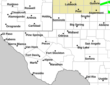
NWS Midland Hazardous Weather Outlook

NWS Midland Hazardous Weather Outlook
Click On The Image To See The Rest Of The Outlooks

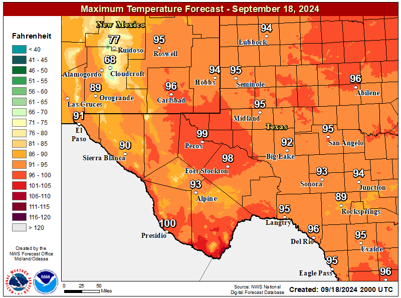
NWS Midland Forecast High Temperatures Today

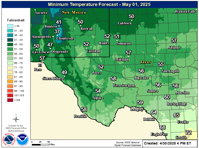
NWS Midland Forecast Low Temperatures Tonight

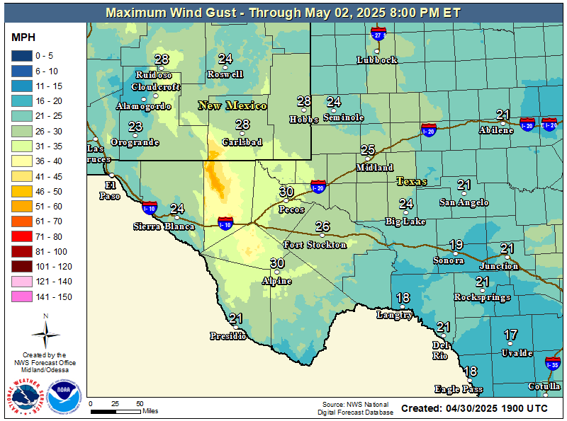
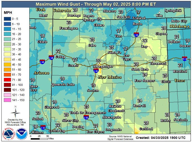
NWS Midland Peak Wind Gust Forecast

NWS Midland Graphic Forecast

NWS Midland Graphic Forecast
Areas of dense fog will develop over the Northern Permian Basin and Western Low Rolling Plains early this morning with visibility down to 1/4 mile or less at times. A Dense Fog Advisory has been issued until 11 AM CST. Drive carefully if encountering dense fog. Use low beam headlights and reduce driving speed.

NWS Midland Forecast Graphic

NWS Midland Forecast Graphic
High temperatures will continue to trend downward through early next week, with below average high temperatures for the area Monday and Tuesday despite lows generally remaining above frost advisory criteria. A gradual warming trend sets in after Wednesday, but rain chances will only return to the area late week into next weekend.

NWS Midland Forecast Graphic

NWS Midland Forecast Graphic
Rain chances continue over the Permian Basin and Lower Trans Pecos today before ending this evening. A cold front will move through our area on Sunday and will bring much cooler temperatures Monday and Tuesday. A gradual warming trend returns Wednesday-Friday with low rain chances late in the week over far southeast NM and the Permian Basin.

NWS Midland Graphic Forecast

NWS Midland Graphic Forecast
A record daily maximum rainfall of 0.73 inches was set at Midland on Saturday, November 14, 2026. This ties the previous record of 0.73 inches set in 2004.

NWS Albuquerque Web Page

NWS Albuquerque Web Page
Click On The Map To Open It Up

NWS Albuquerque New Mexico Precipitation Forecasts

New Mexico

Chaves County Plains & Mtn's

Lincoln County

NWS Albuquerque Hazardous Weather Outlook

NWS Albuquerque Hazardous Weather Outlook

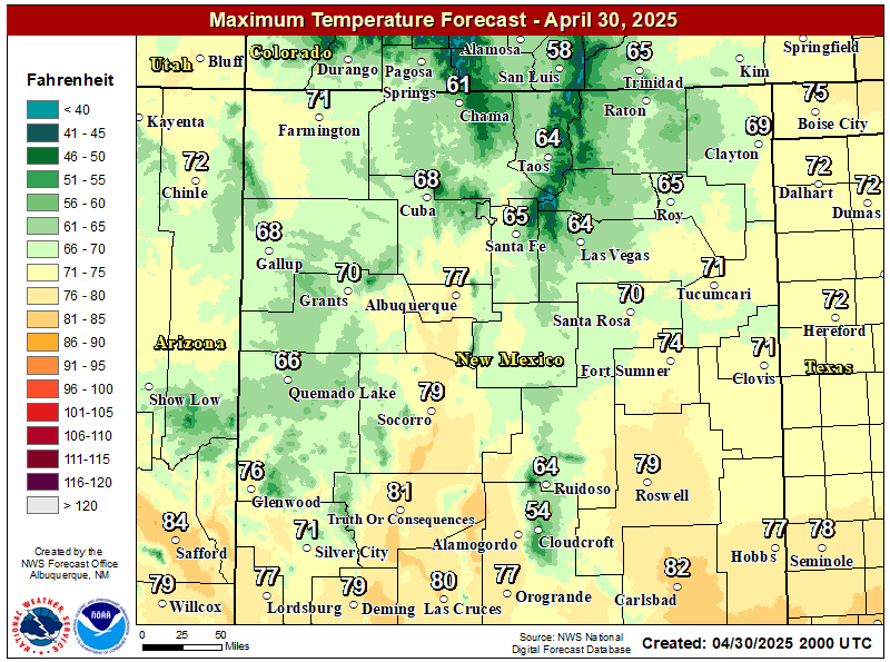
NWS Albuquerque Forecast High Temperatures Today

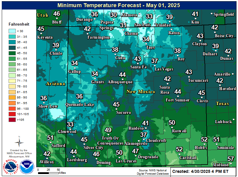
NWS Albuquerque Forecast Low Temperatures Tonight

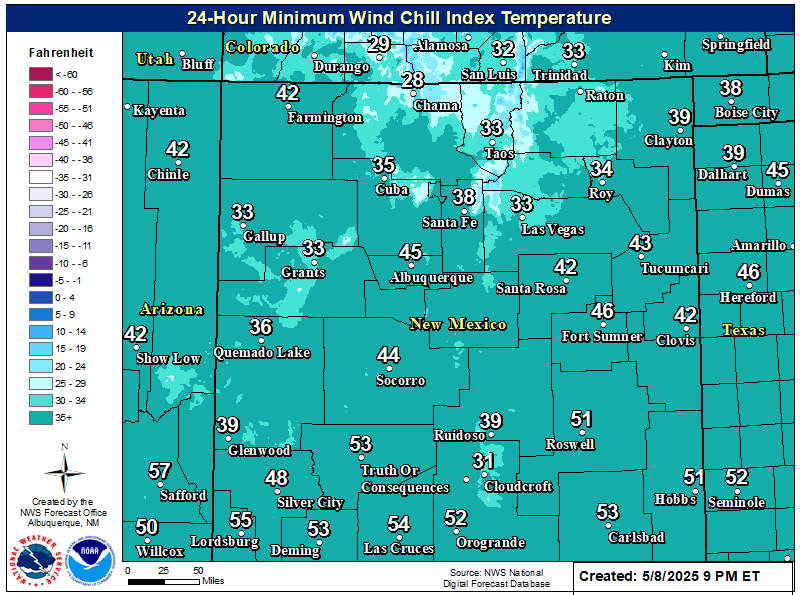
NWS Albuquerque Wind Chill Forecast

NWS Albuquerque Peak Wind Gust Forecast

NWS Albuquerque Graphic Forecast

NWS Albuquerque Graphic Forecast
Pockets of fog and freezing fog will persist in western valley locations, as well as the northeast and east-central plains. Slick spots are likely on roads, especially where freezing fog forms.

NWS Albuquerque Graphic Forecast

NWS Albuquerque Graphic Forecast
Calmer weather returns for most today and Monday before the next storm system brings rain and mountain snow chances back by late Tuesday. Another system is poised to pass the state late in the work week.

NWS El Paso Web Page

Southern New Mexico & Far West Texas Precipitation Forecasts

Texas

Otero County

NWS El Paso Hazardous Weather Outlook

NWS El Paso Hazardous Weather Outlook
Click On The Image To See The Rest Of The Outlooks

NWS El Paso Hazardous Weather Outlook

NWS El Paso Hazardous Weather Outlook
Click On The Image To See The Rest Of The Outlooks

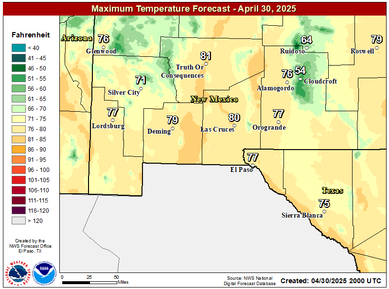
NWS El Paso Forecast High Temperatures Today

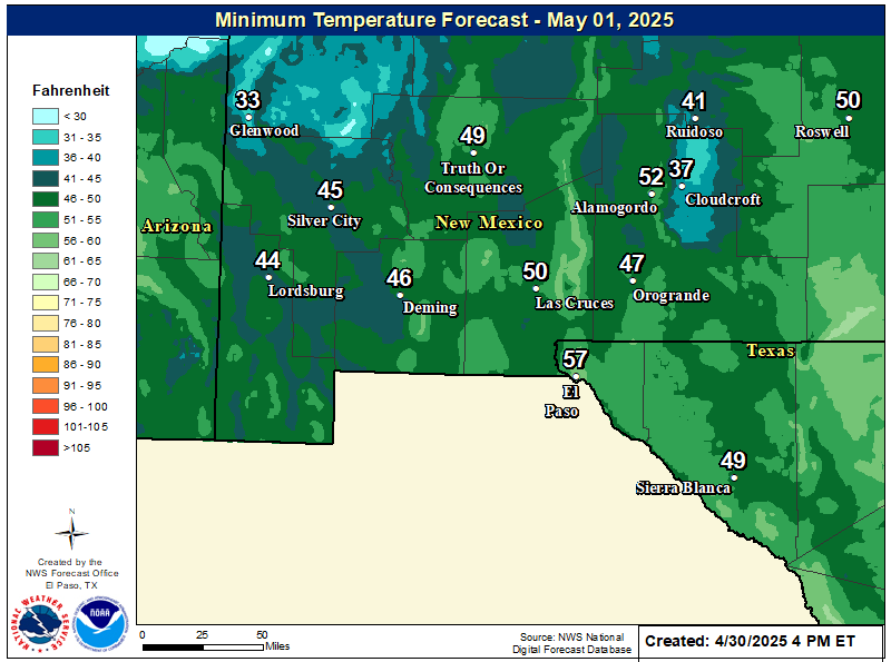
NWS El Paso Forecast Low Temperatures Tonight

NWS El Paso Wind Chill Forecast

NWS El Paso Peak Wind Gust Forecast

NWS El Paso Graphic Forecast

NWS El Paso Graphic Forecast
Sunday will start out cooler with lows dipping into the mid 30s and low 40s. Those temperatures becoming near normal by afternoon. Skies will be mostly clear throughout the day with some high elevation clouds. Winds will stay relatively light at 5-10 MPH predominantly out of the northeast by afternoon.

NWS El Paso Graphic Forecast

NWS El Paso Graphic Forecast
Surface moisture from recent rain showers along with light winds will generate patchy fog overnight as temperatures cool down to near saturation at the surface. The fog will linger until mid morning when temperatures rise and the fog dissipates.

NWS El Paso Graphic Forecast

NWS El Paso Graphic Forecast
This is the seven day temperature outlook from select cities in southern New Mexico and far west Texas. Overall temperatures will remain near or slightly above seasonal averages.

NWS Lubbock Web Page

NWS Lubbock Web Page
Click On The Map To Open It Up

NWS Lubbock Hazardous Weather Outlook

NWS Lubbock Hazardous Weather Outlook
Click On The Image To See The Rest Of The Outlooks

NWS Lubbock Hazardous Weather Outlook

NWS Lubbock Hazardous Weather Outlook
Click On The Image To See The Rest Of The Outlooks

NWS Lubbock South Plains Precipitation Forecasts

NWS Lubbock Hi Temperature Forecast Today

NWS Lubbock Low Temperature Forecast Tomight

NWS Lubbock Graphic Forecast

NWS Lubbock Graphic Forecast
A Dense Fog Advisory is in effect until noon Sunday for Hale, Hockley, Lamb, and Lubbock Counties.

NWS Lubbock Graphic Forecast

NWS Lubbock Graphic Forecast
Much of the Caprock will be socked in with fog through mid day while light rain showers will be possible off the Caprock through the afternoon. It will be chilly with highs in the 40s and 50s with overnight lows in the 30s and 40s.

NWS Lubbock Graphic Forecast

NWS Lubbock Graphic Forecast
The week will start off foggy and cool before eventually warming into the 60s by mid week. Shower and thunderstorm chances return Thursday.

My Rainfall Totals - 2.1 NNW Downtown Carlsbad

My Rainfall Totals - 2.1 NNW Downtown Carlsbad

My Seasonal Snowfall Totals - 2.1 NNW Downtown Carlsbad

My Seasonal Snowfall Totals - 2.1 NNW Downtown Carlsbad

Disclaimer

This blog and its contents are for informational purposes only! Always have multiple sources of information available to rely upon during severe weather. Do not rely solely on the Internet. Be weather-aware, plan ahead, have a backup plan, and be ready to act before severe weather strikes your location.