2022 Ends On A Warm & Windy Note.

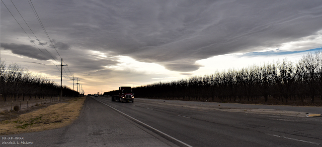
December 28, 2022. US Hwy 285 South Of Artesia. Altocumulus Standing Lenticular Clouds. Blog Updated At 3:40 PM MST New Years Eve. A Parade of Pacific Storms Headed Our Way. GFS 500 Millibar (18,000') Forecast. Valid At 5 PM MST Monday, January 2, 2023. Surface Map Forecasts. Valid At 5 PM MST Sunday, January 1st, 2023. Valid At 5 AM MST Monday, January 2nd, 202 3. Three mid-level short wave troughs of low pressure (circled in red on the GFS 500 Millibar forecast map above) are forecast to impact our regional weather today into mid-week of the first week of the New Year. Storm #1 will be approaching New Mexico from northern California tonight through Monday. By sunset Monday it is forecast to be centered over northeastern Colorado. Storm #2 is forecast to impact our weather Tuesday into Wednesday morning. The third storm is forecast to arrive late next week. A Pacific cold front will race across the state New Years night through Monday morning. NWS NDFD High Temperatur...


