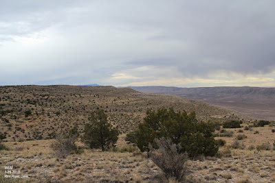
Guadalupe Mountains Rim Road Drive. 1-26-2013.
My wife (Diane) and I, and our three dogs left Carlsbad, NM at noon yesterday, and took a drive down the Guadalupe Mountains "Rim Road", or "Forest Road #67." It is a 67 mile drive down this road along the spine of the Guadalupe Mountains from southwest of Queen, where we started, to just east of the Bullis Springs Ranch, southwest of Hope.
We saw some Virga, mule deer, and a double rainbow at the end of our drive. Not to mention some fantastic scenery. Our journey ended up being 186 miles long. It had been years since I had driven this route, and I had forgotten how much I enjoy this drive.
Looking south at Guadalupe Peak.
Looking northwest at the southern end of the Sacramento's.
Rain shower obscuring the Sacramento's.
This old school bus has been on the Bullis Springs Ranch
for over 50 years. I remember it as a kid when I first went
up to the ranch (then owned by Carl Lewis) back in the
1960's when I was 8 years old.
Double rainbow at the end of our drive near the Bullis Springs Ranch.
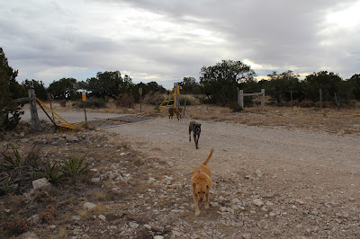
Harmony, Thunder, and Lightning.
Lightning did not like the cattle guard.
Just below the Bullis Springs Ranch on the northern end.
The Truth Is Stranger Than Fiction!
My Web Page Is Best Viewed With Google Chrome.


Comments
Post a Comment
Your comments, questions, and feedback on this post/web page are welcome.