

Snow Ends Today. Cold Tonight. Another Storm Next Week.


Our current winter storm was located over southwestern New Mexico early this morning. It is forecast to open up and move east of the state by tomorrow. Light snow is falling over parts of southeastern New Mexico and west Texas near sunrise this morning. The snow will end later today as this storm moves east of us.
I measured a total of 5.5" of snowfall out of this, and as of 6 AM MST this morning I have 4.5" of snow on the ground here at my home in Carlsbad, New Mexico. This was a fairly wet snow which melted down to a water equivalent of .48".
I measured a total of 5.5" of snowfall out of this, and as of 6 AM MST this morning I have 4.5" of snow on the ground here at my home in Carlsbad, New Mexico. This was a fairly wet snow which melted down to a water equivalent of .48".
Tonight is going to be cold as our skies begin to clear. Our lows will likely dip down into the teens, with a few of the normally colder spots such as sheltered high mountain valleys seeing some single digit readings. We may even see a few temps dip below zero.
Snowfall Totals.


NWS Midland Snowfall Reports.
(Local Public Reports).
Roswell 1/2" to 3/4"
1 Mile SW Tatum 3/4"
16 Miles NE Of Dunken 1"
Dexter 1"
4 Miles E Of Elk 1.5"
Atoka & Artesia Climate 2"
Lake Arthur 2.5"
10 Miles S Of Artesia 3"
Eunice 3"
Queen 3"
9 Miles NW Of Carlsbad 4"
4 Miles SW Of Loving 4"
22 Miles W Of Jal 4"
Additional Snowfall Reports.
New Mexico Snowfall Reports.
Snowfall Totals.


Updated Local Snowfall Totals.
Courtesy Of The Midland NWS Office.NWS Midland Snowfall Reports.
(Local Public Reports).
Roswell 1/2" to 3/4"
1 Mile SW Tatum 3/4"
16 Miles NE Of Dunken 1"
Dexter 1"
4 Miles E Of Elk 1.5"
Atoka & Artesia Climate 2"
Lake Arthur 2.5"
10 Miles S Of Artesia 3"
Eunice 3"
Queen 3"
9 Miles NW Of Carlsbad 4"
4 Miles SW Of Loving 4"
22 Miles W Of Jal 4"
Additional Snowfall Reports.
New Mexico Snowfall Reports.

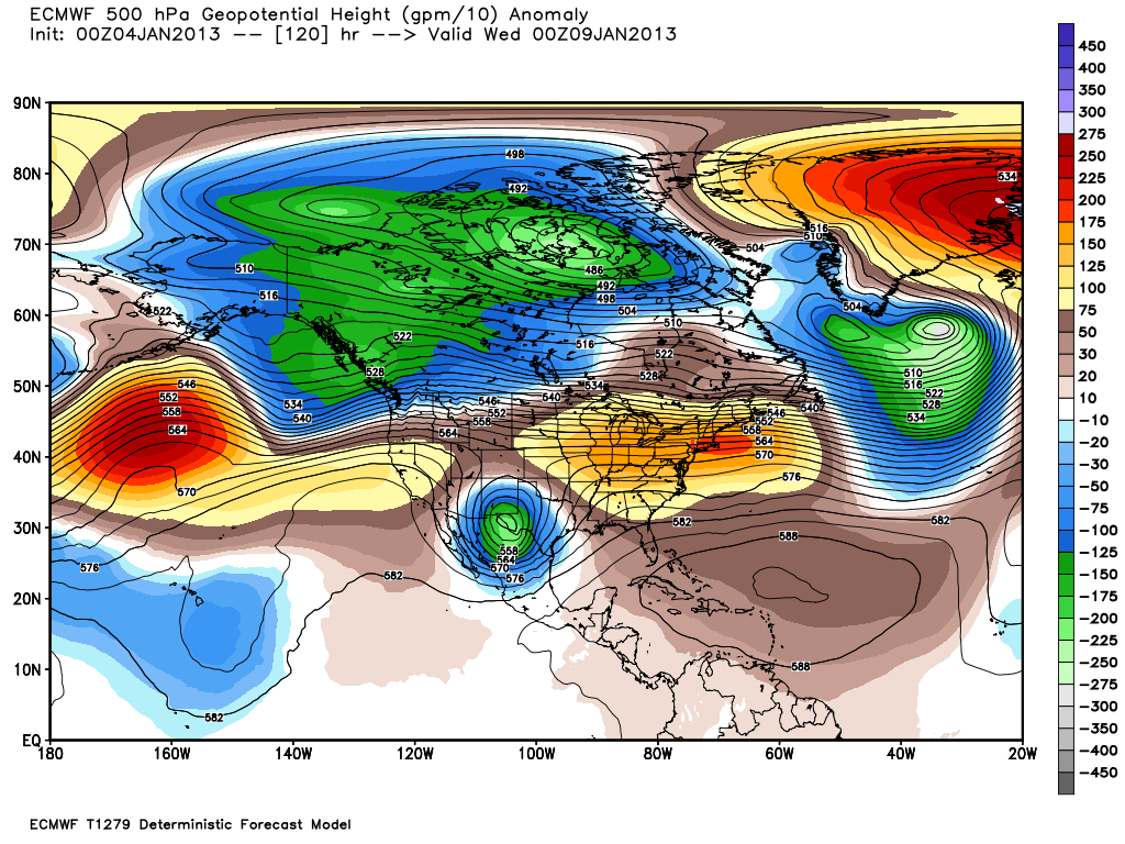
Another winter storm will approach the state by the first of next week. Par for the course the two main long-range computer forecast models, the U.S. GFS (top map) and the European (ECMWF) offers drastically different solutions as to this storms track and strength.
The GFS model sweeps the storm across northern New Mexico and into the Texas Panhandle by sunrise next Tuesday. On the other hand the European model drops the storm way south to near El Paso as another closed upper-level low by 5 PM MST Tuesday.
If the GFS is correct then we won't see any more snow. If the European model is correct we may.


GFS & ECMWF Forecasts For Roswell, NM.


GFS & ECMWF Forecasts For Artesia, NM.


GFS & ECMWF Forecasts For Carlsbad, NM.


GFS & ECMWF Forecasts For Hobbs, NM.


GFS & ECMWF Forecasts For Ruidoso, NM.
The Truth Is Stranger Than Fiction!
My Web Page Is Best Viewed With Google Chrome.


Hopefully, the storm parks over Tucson, and NM gets a few days of rain and mountain snow! Then again, 10" of snow in Terlingua is mind-boggling to me, but maybe it's happened before?
ReplyDelete