Click On The Image To See The Rest Of The Outlooks
NWS El Paso Hazardous Weather Outlook
Click On The Image To See The Rest Of The Outlooks
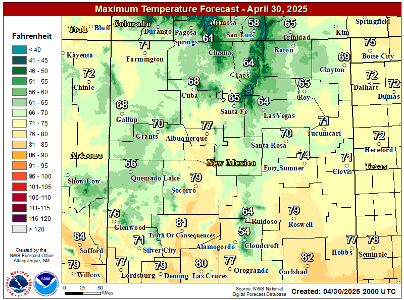
NWS El Paso Forecast High Temperatures Today
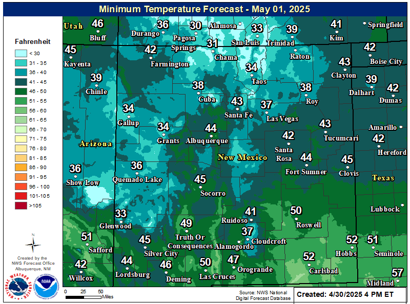
NWS El Paso Forecast Low Temperatures Tonight
NWS El Paso Wind Chill Forecast
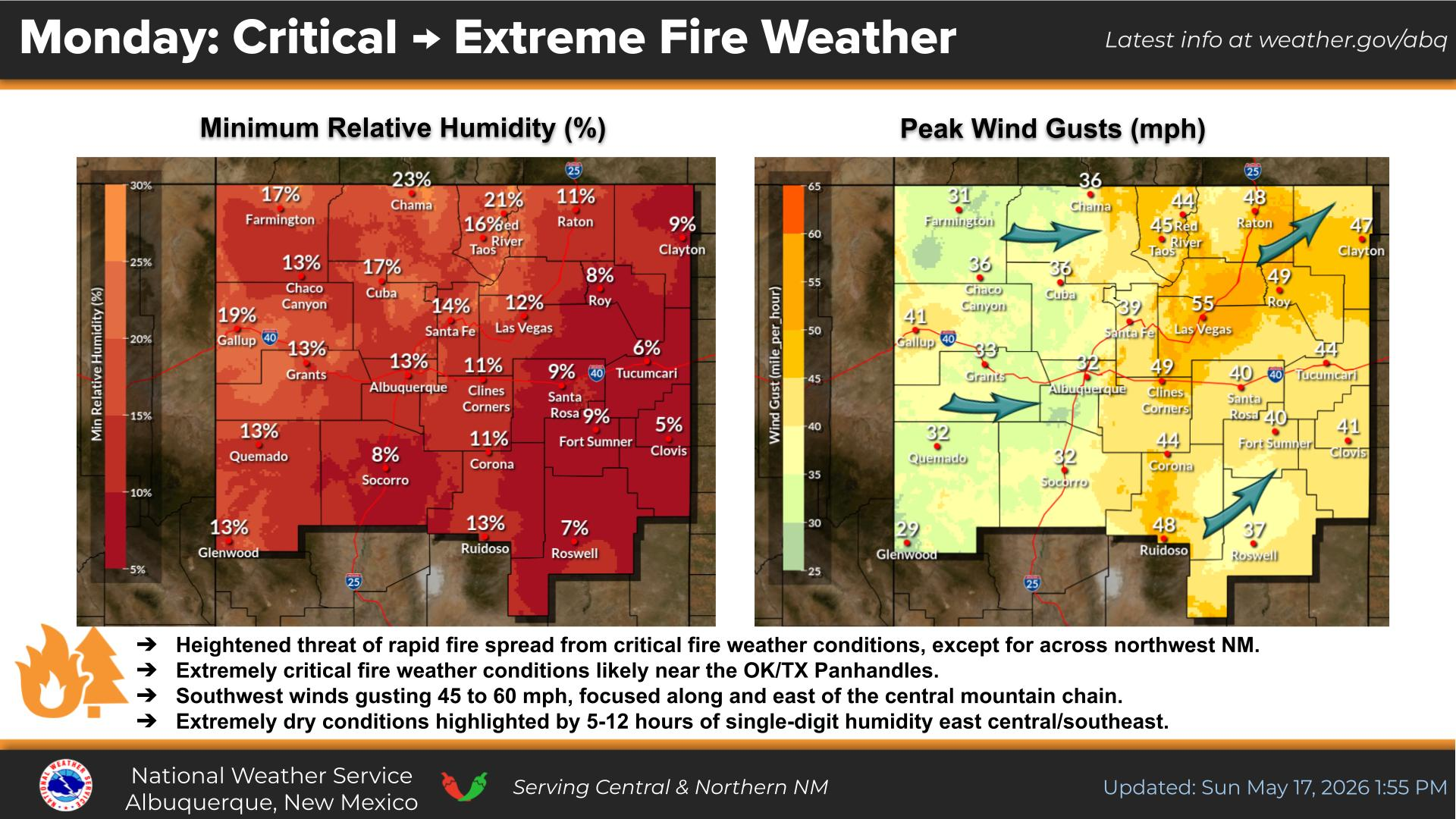
NWS El Paso Peak Wind Gust Forecast
NWS El Paso Graphic Forecast
A cold front will move across the region tonight and that will give us high temperatures on Monday a little below average. Our winds will be light. Most of us will see plenty of sun, but some lower clouds will sneak into Otero and Hudspeth Counties behind the cold front.
Fog is likely across the region through late morning. While the fog will lift, clouds will remain through the rest of the day and through the night. This will keep highs near 50 and lows in the upper 30s to mid 40s.
NWS Lubbock Graphic Forecast
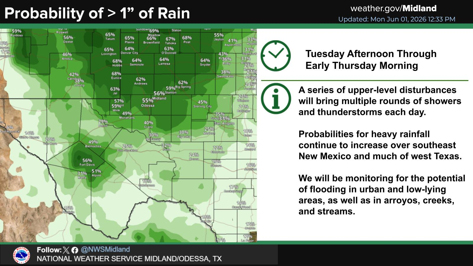
After starting off foggy and cool, the week will eventually warm into the 60s. Shower and thunderstorm chances return Thursday.
My Seasonal Snowfall Totals - 2.1 NNW Downtown Carlsbad
Disclaimer
This blog and its contents are for informational purposes only!
Always have multiple sources of information available to rely upon during severe weather. Do not rely solely on the Internet.
Be weather-aware, plan ahead, have a backup plan, and be ready to act before severe weather strikes your location.



























Comments
Post a Comment
Your comments, questions, and feedback on this post/web page are welcome.