

First Round Of Severe T-Storms Yesterday - Repeat Today.

Carlsbad, New Mexico.
Tuesday, May 2, 2023.
My T-Storm Time Lapse Video.Shot From C-Hill - Carlsbad, NM.
Blog Updated At 11:24 AM MDT Wednesday, May 3, 2023.
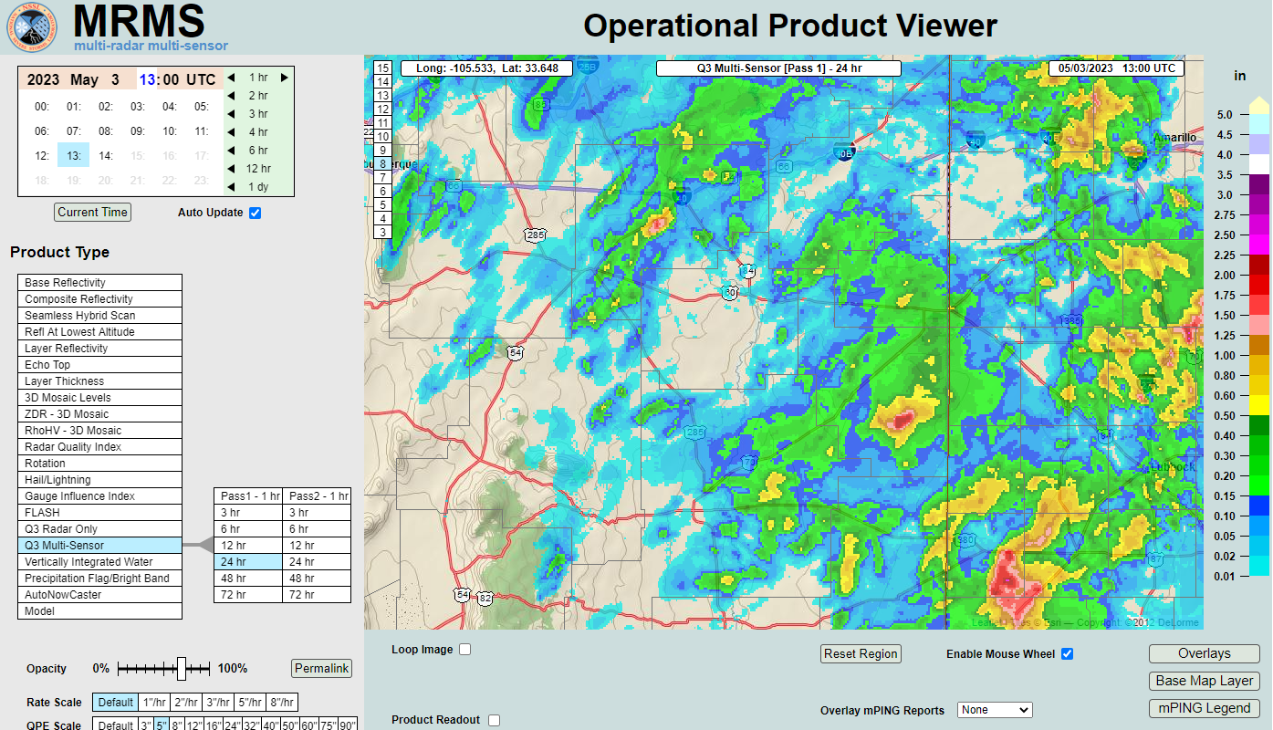
Another Round Of Severe T-Storms Today Into This Evening.


Round two of scattered afternoon and evening thunderstorms is in our local forecast once again today. Like yesterday a few multicellular clusters will form as storms first fire over the east slopes of the Guadalupe, Sacramento, and Capitan mountains. A few of these will become locally severe and produce damaging thunderstorm wind gusts in excess of 60 mph, isolated large hail...some maybe as big as golf balls, frequent deadly cloud to ground lightning, and locally heavy rainfall.
Our chances of getting wet today range from 30% to 40% in the Sacramento mountains to 30% to 60% across the southeastern plains.
A thunderstorm is classified as severe by the National Weather Service when it produces the following: thunderstorm wind gusts of 58 mph or higher, hail one inch in diameter (quarter size), and or a tornado.
(As Of 8 AM MDT Wednesday, May 3, 2023).

(As Of 8 AM MDT Wednesday, May 3, 2023).

Note: For some reason the automated rain gauge (Hads - TRDN5) at the Two Rivers dam 10 miles southwest of Roswell keeps reporting erroneous rainfall totals. This has been ongoing since last year. That 3.00" is not a valid report.
(As Of 8 AM MDT Wednesday, May 3, 2023).


A public report of .55" of rainfall was noted on my Facebook page yesterday afternoon on a farm near Hagerman, on Choctaw road.
PRELIMINARY LOCAL STORM REPORT...SUMMARY
NATIONAL WEATHER SERVICE MIDLAND/ODESSA TX
919 PM CDT TUE MAY 2 2023

..TIME...   ...EVENT...      ...CITY LOCATION...     ...LAT.LON...
..DATE...   ....MAG....      ..COUNTY LOCATION..ST.. ...SOURCE....
            ..REMARKS..

0553 PM     TSTM WND GST     1 NW MIDLAND INTERNATIO 31.95N 102.20W
05/02/2023  M62 MPH          MIDLAND            TX   ASOS

            ASOS STATION KMAF MIDLAND.

0558 PM     HAIL             NOTREES                 31.92N 102.76W
05/02/2023  M1.25 INCH       ECTOR              TX   BROADCAST MEDIA

            SIZE ESTIMATED FROM PUBLIC PHOTO RELAYED BY
            BROADCAST MEDIA. TIME ESTIMATED FROM RADAR
            IMAGERY.

0700 PM     HAIL             6 NE EUNICE             32.50N 103.12W
05/02/2023  M1.00 INCH       LEA                NM   EMERGENCY MNGR


0710 PM     HAIL             5 WSW SEMINOLE          32.69N 102.73W
05/02/2023  M1.50 INCH       GAINES             TX   TRAINED SPOTTER


0715 PM     HAIL             SEMINOLE                32.72N 102.65W
05/02/2023  M1.50 INCH       GAINES             TX   BROADCAST MEDIA

            BROADCAST MEDIA RELAYS PUBLIC PHOTO OF HAIL
            FROM SEMINOLE AROUND 7:15PM CDT. SIZE
            ESTIMATED FROM PHOTO.

0719 PM     TSTM WND GST     2 NNE SEMINOLE          32.75N 102.64W
05/02/2023  M58 MPH          GAINES             TX   MESONET

            SEMINOLE MESONET MEASURED A WIND GUST OF 58
            MPH.

0749 PM     TSTM WND GST     1 WSW SEAGRAVES         32.94N 102.57W
05/02/2023  M61 MPH          GAINES             TX   MESONET

            MESONET STATION 15 SEAGRAVES 1SW.
There Are None So Blind As Those Who "Will - Not" To See...107.


Comments
Post a Comment
Your comments, questions, and feedback on this post/web page are welcome.