Severe T-Storms Return Wednesday & Thursday.
Looking At Guadalupe Peak.
From Near The NM/TX State Line.
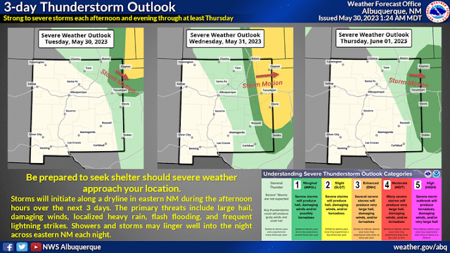
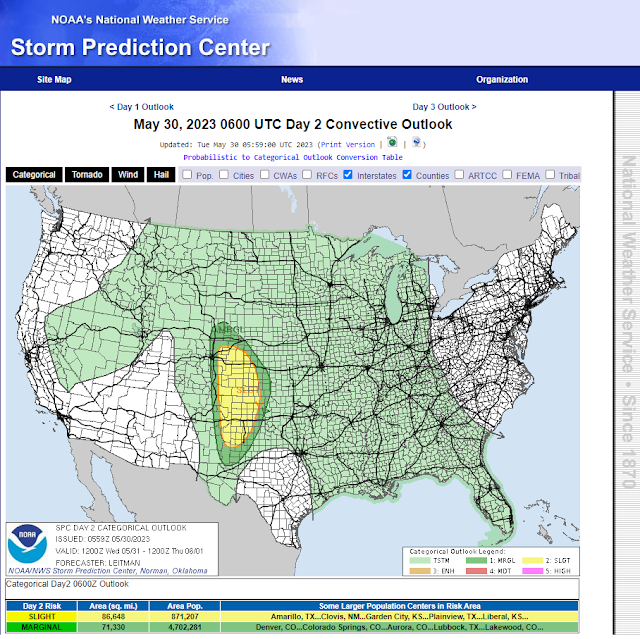
Severe T-Storms Return Wednesday & Thursday.
(Wednesday, May 31, 2023).
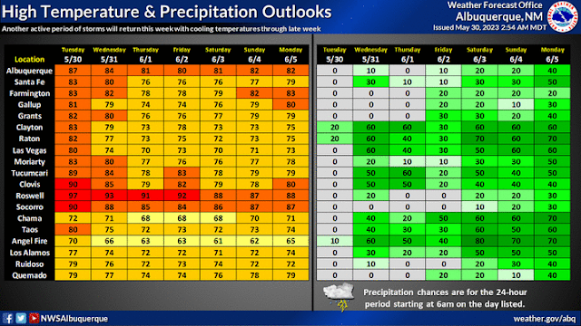
High Temps & Precipitation Chances.
Some locations in southeastern New Mexico and parts of West Texas may reach the century mark this afternoon, for the first time this year. In contrast highs across the southeastern plains look to only be in the 80's Saturday, Sunday, and next Monday.
Thunderstorms return to the eastern half of New Mexico Wednesday and Thursday. Some of these will become severe especially on Wednesday. Large hail, damaging thunderstorm wind gusts, an isolated tornado or two, deadly cloud to ground lightning, and locally heavy rainfall that may cause localized flash flooding will all be possible. The areas with the highest chances of seeing severe weather will be those highlighted in the "Slight Risk - yellow shade" category on Wednesday.
As a series of mid/upper level disturbances swing across the region this weekend our chances for more widespread thunderstorm activity increases along with a cool down in temps. The best chances for measurable rainfall for the mountains will be this weekend.
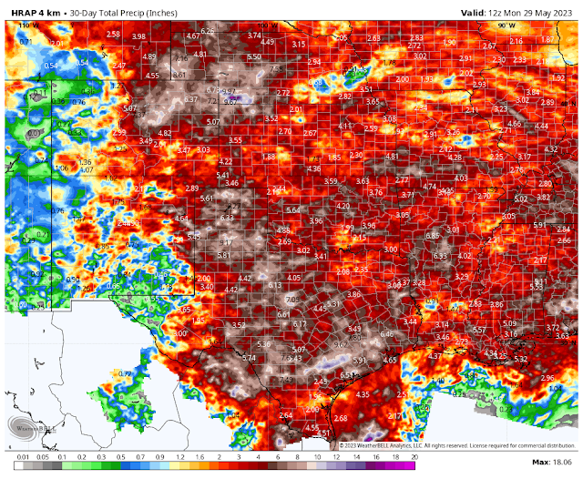
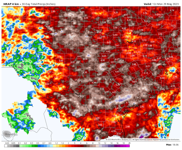
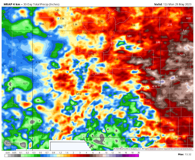
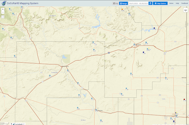
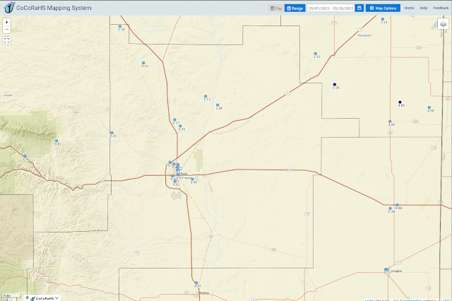
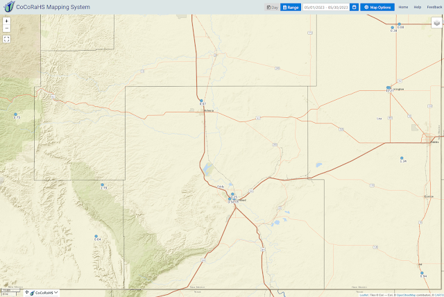
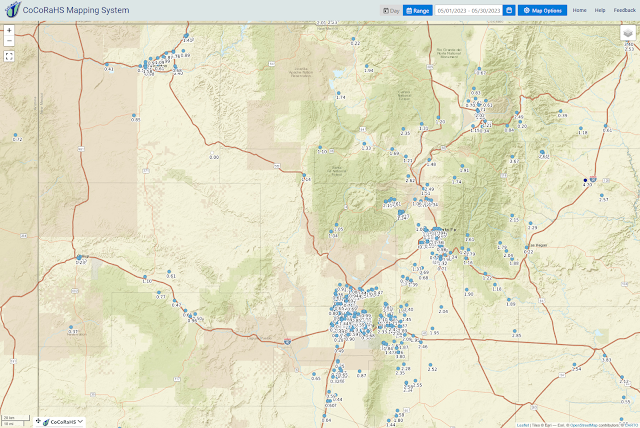
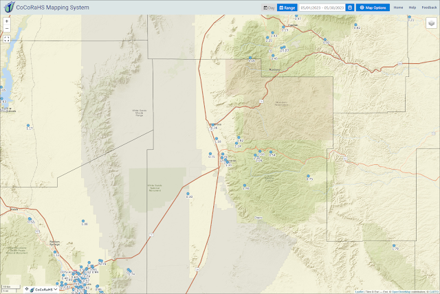
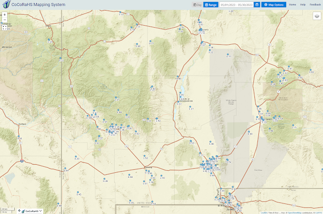
Wet & Stormy May For Many.
Last week was a rough one for many in northeastern, eastern, and parts of southeastern New Mexico. Severe thunderstorms were numerous. A couple of tornadoes were reported and filmed. So far the largest reported hail stone that I can find in the storm reports was the apple size (3.0" to 3.5" in diameter) report 7 miles west-northwest of Encino at 7:05 PM MDT on Friday the 26th.
Severe thunderstorm wind gusts were impressive as well especially on Wednesday the 24th. The TORUS Mobile MesoNet measured a gust to 92 mph in Grady (Curry County). A gust to 84 mph was measured by a hand held anemometer 11 miles northwest of Pleasant Hill (Curry County), and a gust to 83 mph was measured at Cannon Air Force Base by their ASOS. Not to be left out was the 76 mph gust measured by the Tucumari ASOS.
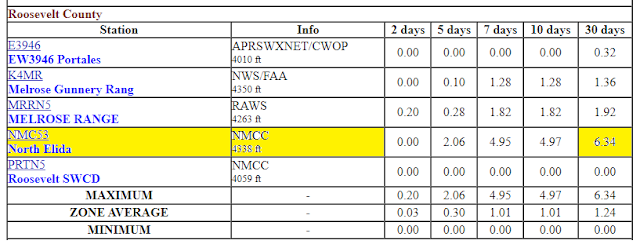
(April 30th - May 29th).
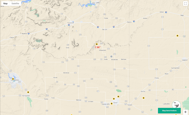
Selected New Mexico MesoWest 30-Day Rainfall Totals.
(April 30th - May 29th).
(2 Bar Ranch May Rainfall Total).
There Are None So Blind As Those Who "Will - Not" To See...107.










Comments
Post a Comment
Your comments, questions, and feedback on this post/web page are welcome.