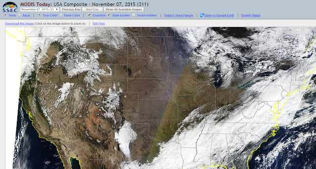
Check Out New Mexico From The MODIS Satellite Vantage Point Today.
How many features can you pick out in these high resolution MODIS visible satellite images? Snow covered peaks and valleys of northern and western New Mexico. Notice how the low clouds are banked up against the central mountain chain of the state including the Sacramento mountains of south-central New Mexico. If you look closely you can see that the highest parts of Sierra Blanca Peak west of Ruidoso still has snow on it. White Sands looks cool too.
The Truth Is Stranger Than Fiction!


Comments
Post a Comment
Your comments, questions, and feedback on this post/web page are welcome.