Current Date & Time

Fall Freeze Data For New Mexico

Is Our Sun Behaving Normally Or Not?


Sunrise.
March 7th, 2019.

Our star, our sun, our life giver at least in the natural realm. I never cease to be amazed at our beautiful sunrises such as this mornings or our sunsets.This blaze of colors is created by our atmosphere and our sun. Its not behaving normally of late...or is it?

(Read The Full Article Via The Link Above).

In the 1990s, solar physicists, Penn and Livingston, called for a long decline in solar activity. This is the case and it is nice to see such work confirmed by events. Solar Cycles # 23 and 24 are the weakest since the early 1900s. The current run of consecutive Spotless Days is out to 33, or 75%, for the year.

Solar Cycle # 24 is expected to reach its minimum by late in this year.
For hundreds of millions of years such changes in solar activity have been associated with changes from warming to cooling. And back again. The long run to the recent peak in activity was the strongest in thousands of years. Despite this, temperatures were not as warm for as long as set during the Medieval Warm Period. The end to that long trend and turn to cooling in the early 1300s was drastic, causing widespread crop failures and famine in Northern Europe and England. A book by William Rosen, “The Third Horseman” covers it thoroughly. The die-off from 1315 to 1320 is estimated at some 10 percent of the population. Deaths of cattle, sheep and horses were severe as well. All due to the turn to cold and unusually wet weather.
The change to what some are calling the Modern Minimum is significant. In geological perspective, it is now a built-in cooling force.
NOAA’s Winter Forecast made on October 18th has been wrong on temperature and precipitation. North America has suffered a cold, snowy and lengthy winter, beyond what could be blamed upon the demon “Polar Vortex”.
Over time, diminishing solar activity has been likely to be accompanied by more cosmic rays and more cloud cover. Which would be associated with cooler and snowier winters. And possibly cooler summers, which the Danish Met Institute reported for 2018 and 2017.
(Read The Full Article Via The Link Above).

The sun has just passed an entire calendar month with no sunspots. The last time this happened, in August 2008, the sun was in the nadir of a century-class Solar Minimum. The current stretch of blank suns shows that Solar Minimum has returned, and it could be as deep as the last one.
The last time a full calendar month passed without a sunspot was August 2008. At the time, the sun was in the deepest Solar Minimum of the Space Age. Now a new Solar Minimum is in progress and it is shaping up to be similarly deep. So far this year, the sun has been blank 73% of the time–the same as 2008. 
Solar Minimum is a normal part of the solar cycle. Every ~11 years, sunspot counts drop toward zero. Dark cores that produce solar flares and CMEs vanish from the solar disk, leaving the sun blank for long stretches of time. These minima have been coming and going with regularity since the sunspot cycle was discovered in 1859.
Full story at Spaceweather.com
Meanwhile, the sun is putting out less solar energy towards the Earth, as this graph of PMOD composite monthly total solar irradiance (TSI) data shows:
It seems the sun has dimmed more than the usual amount at the end of solar cycle 24, and it could be a factor in the severe winter we are experiencing in many parts of the northern hemisphere.
The Truth Is Stranger Than Fiction - And Sometimes It Hurts!

Comments

  1. Wendell, would the solar minimum help to counter the effects of climate change, at least temporarily?

    ReplyDelete
  2. Many climatologists, meteorologists, and others including myself believe that the planet stopped warming in the mid to late 1990's. Of late there has been a pause in global temperatures with a slight decease in those temperatures noted in the past few years. Not everyone believes this though.

    Historically the sun cycles through periods of slightly more brightness and more sunspots which many believe have had a warming effect on the planets weather and climate. When the reverse of this occurs (Solar Minimums or Grand Solar Minimums) there is evidence that supports the planet going through colder and weather periods of weather and climate.

    In short no I don't believe that the ongoing Solar Minimum cycle will abate or stop climate change because that's not happening as far as global warming is concerned. In my opinion Climate Change or Global Warming is one of the biggest lies ever thrust upon humanity. In reality the planets weather and climate (which are two different subjects) are always in a state of change. Historically both cycle from periods of hot to cold and visa versa.

    If the current Solar Minimum does in fact turn out to be a Grand Solar Minimum and other factors such as volcano eruptions and changes in the oceans temperature profile combine with it then we are likely headed into another cooling period such as was experienced in the Dalton and Maunder Solar Minimums.

    ReplyDelete

Post a Comment

Your comments, questions, and feedback on this post/web page are welcome.

My Blog Archive List (July 2010 - August 2025).

Show more

My Current Weather Conditions

MY CoCoRaHS Precipitation Data

NWS Albuquerque 2026 Winter Outlook (Updated Nov 3rd).

NWS Midland Web Page

NWS Midland Web Page
Click On The Map To Open It Up

SE New Mexico & West Texas Precipitation Forecasts

Eddy County

Guadalupe Mtns Eddy & Culberson County

Lea County

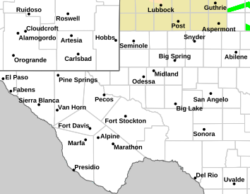
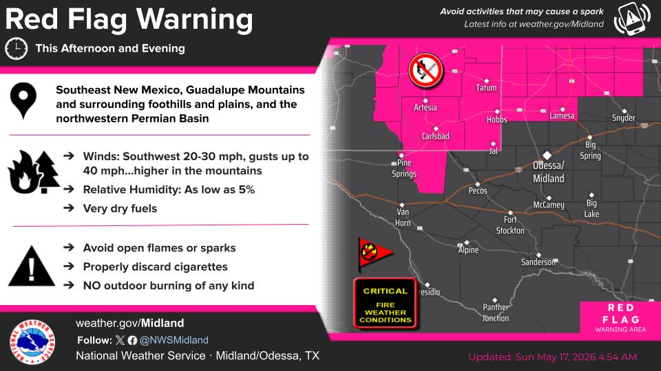
NWS Midland Hazardous Weather Outlook

NWS Midland Hazardous Weather Outlook
Click On The Image To See The Rest Of The Outlooks

NWS Midland Hazardous Weather Outlook

NWS Midland Hazardous Weather Outlook

NWS Midland Hazardous Weather Outlook

NWS Midland Hazardous Weather Outlook
Click On The Image To See The Rest Of The Outlooks

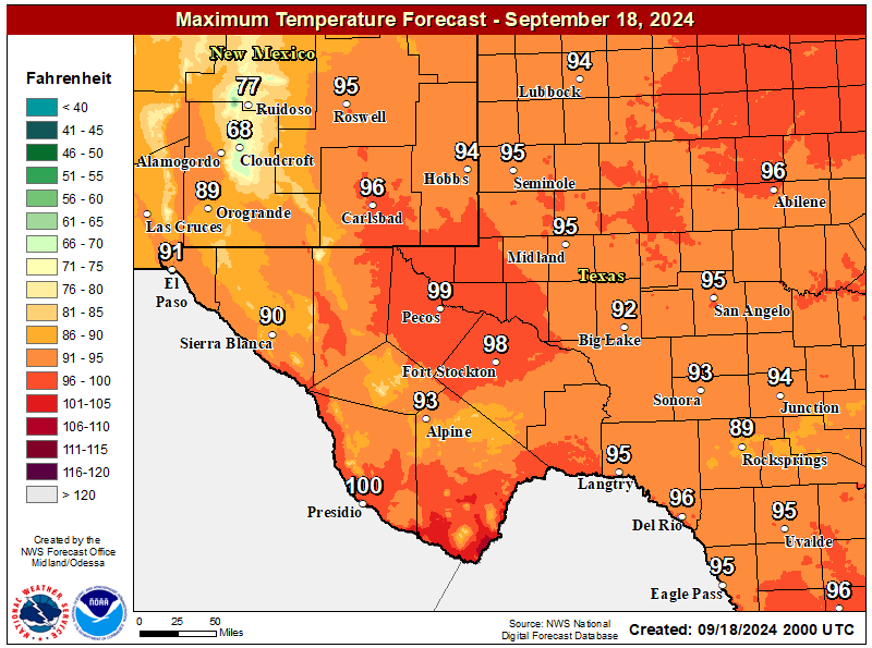
NWS Midland Forecast High Temperatures Today

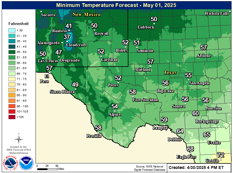
NWS Midland Forecast Low Temperatures Tonight

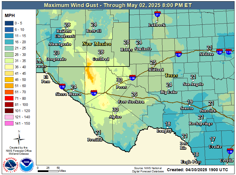
NWS Midland Peak Wind Gust Forecast

NWS Midland Forecast Graphic

NWS Midland Forecast Graphic
Rain chances will increase from west to east over our area Friday evening through early Saturday morning ahead of an approaching upper level system. Rain showers may linger over eastern portions of our region into the day Saturday. Locally heavy rainfall may result in minor flooding or ponding of water in urban and low lying areas, but the overall risk of flash flooding remains very limited.

NWS Albuquerque Web Page

NWS Albuquerque Web Page
Click On The Map To Open It Up

NWS Albuquerque New Mexico Precipitation Forecasts

New Mexico

Chaves County Plains & Mtn's

Lincoln County

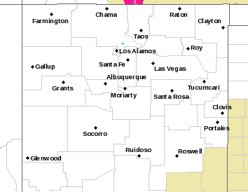
NWS Albuquerque Hazardous Weather Outlook

NWS Albuquerque Hazardous Weather Outlook

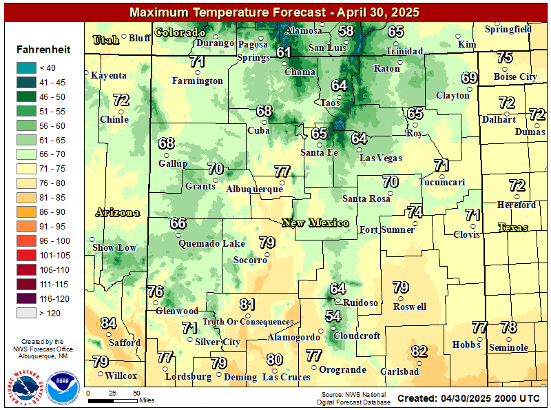
NWS Albuquerque Forecast High Temperatures Today

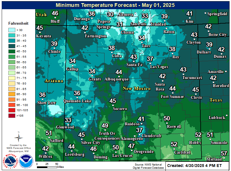
NWS Albuquerque Forecast Low Temperatures Tonight

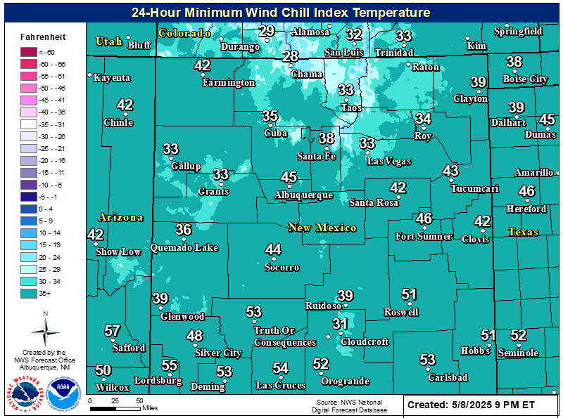
NWS Albuquerque Wind Chill Forecast

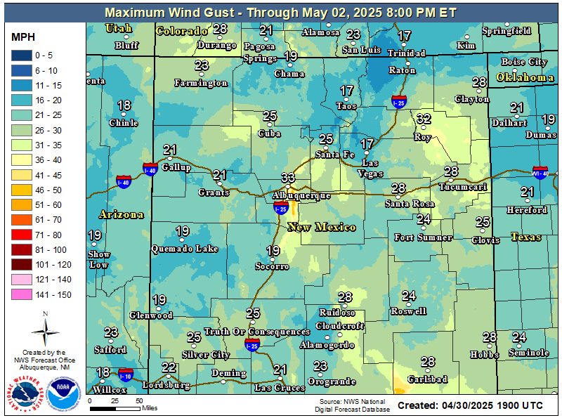
NWS Albuquerque Peak Wind Gust Forecast

NWS Albuquerque Graphic Forecast

NWS Albuquerque Graphic Forecast
Showers with embedded thunderstorms enter southwestern NM this afternoon, spreading to more of eastern and northern NM tonight into Saturday morning. Some storms will produce gusty winds and brief moderate rainfall.

NWS Albuquerque Graphic Forecast

NWS Albuquerque Graphic Forecast
Valley rain and mountain snow spread over the northern mountains with rain and storms favoring the eastern plains through much of the day Saturday.

NWS Albuquerque Graphic Forecast

NWS Albuquerque Graphic Forecast
Snow above 9,000' will generally range 2-6 inches with locally higher amounts up to 8 inches atop the peaks. Slick winter travel will favor the U.S. 64 corridor through the Tusas Mts.

NWS Albuquerque Forecast Grpahics

NWS Albuquerque Forecast Grpahics
Cooler and wetter weather late today through the weekend. Calmer weather returns late Sunday through Monday before the next storm system looks to clip northwestern NM Tuesday.

NWS El Paso Web Page

Southern New Mexico & Far West Texas Precipitation Forecasts

Texas

Otero County

NWS El Paso Hazardous Weather Outlook

NWS El Paso Hazardous Weather Outlook
Click On The Image To See The Rest Of The Outlooks

NWS El Paso Hazardous Weather Outlook

NWS El Paso Hazardous Weather Outlook
Click On The Image To See The Rest Of The Outlooks

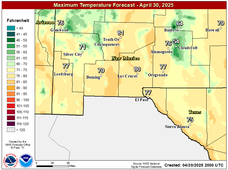
NWS El Paso Forecast High Temperatures Today

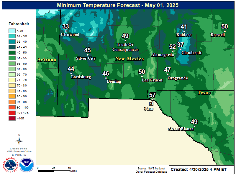
NWS El Paso Forecast Low Temperatures Tonight

NWS El Paso Wind Chill Forecast

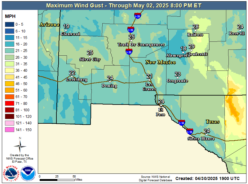
NWS El Paso Peak Wind Gust Forecast

NWS El Paso Graphic Forecast

NWS El Paso Graphic Forecast
A Pacific storm system rapidly moves across Arizona and southern New Mexico in the afternoon and night of Friday. Highest rainfall is expected east of the Rio Grande Valley.

NWS El Paso Graphic Forecast

NWS El Paso Graphic Forecast
Showers will begin in the west Friday afternoon and spread east through the evening. Highest rainfall amounts likely from the Rio Grande Valley east. A few thunderstorms also possible.

NWS El Paso Graphic Forecast

NWS Lubbock Web Page

NWS Lubbock Web Page
Click On The Map To Open It Up

NWS Lubbock Hazardous Weather Outlook

NWS Lubbock Hazardous Weather Outlook
Click On The Image To See The Rest Of The Outlooks

NWS Lubbock Hazardous Weather Outlook

NWS Lubbock Hazardous Weather Outlook
Click On The Image To See The Rest Of The Outlooks

NWS Lubbock South Plains Precipitation Forecasts

NWS Lubbock Hi Temperature Forecast Today

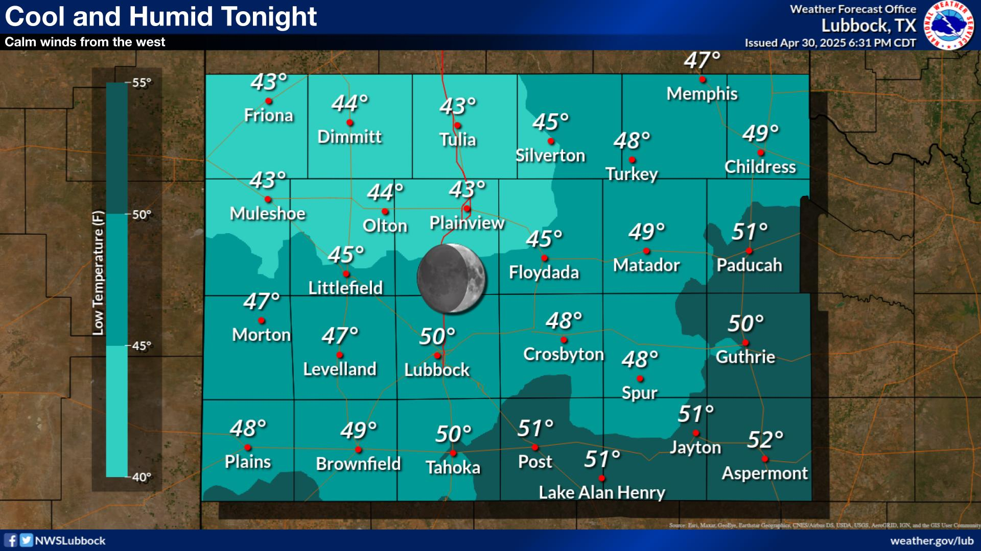
NWS Lubbock Low Temperature Forecast Tomight

NWS Lubbock Graphic Forecast

NWS Lubbock Graphic Forecast
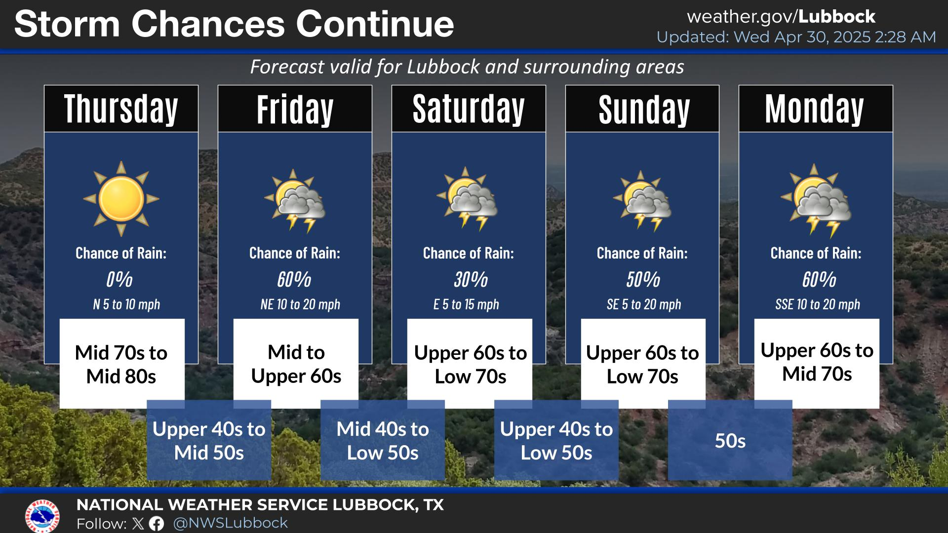
Mild and sunny conditions are expected across the region today. Winds will generally be out of the west at 5-10 mph.

NWS Lubbock Graphic Forecast

NWS Lubbock Graphic Forecast
Cool with lows in the upper 30s to mid 40s under clear skies and light southerly winds.

NWS Lubbock Graphic Forecast

NWS Lubbock Graphic Forecast
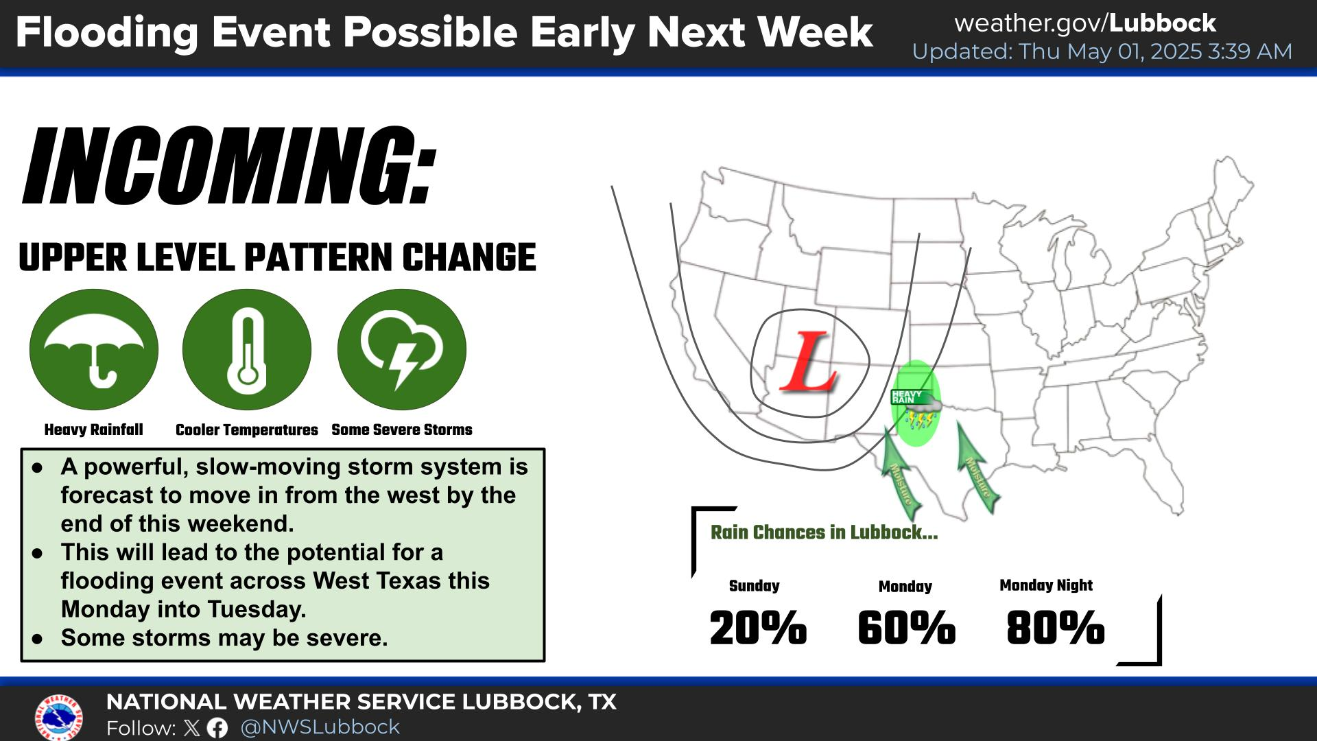
Cloudy, cool, and rainy conditions are expected across the region Saturday through Saturday night. The highest rain chances will generally be off the Caprock after 6 PM on Saturday evening. Some locally heavy rain is possible, but widespread flooding is not expected.

NWS Lubbock Graphic Forecast

NWS Lubbock Graphic Forecast
Precipitation chances return Friday night through Sunday, with the best chances being Saturday night. Severe storms are not expected, but rainfall amounts over an inch are possible (20-40% chance) off the Caprock. Cooler conditions are expected at the start of next week, when highs may only be in the low 50s.

My Rainfall Totals - 2.1 NNW Downtown Carlsbad

My Rainfall Totals - 2.1 NNW Downtown Carlsbad

My Seasonal Snowfall Totals - 2.1 NNW Downtown Carlsbad

My Seasonal Snowfall Totals - 2.1 NNW Downtown Carlsbad

Disclaimer

This blog and its contents are for informational purposes only! Always have multiple sources of information available to rely upon during severe weather. Do not rely solely on the Internet. Be weather-aware, plan ahead, have a backup plan, and be ready to act before severe weather strikes your location.