

Something Wet In My Rain Gauge This Morning.
Click On The Maps/Images To Enlarge Them.
Blog updated at 10:00 AM MST.
Blog updated at 10:00 AM MST.


Overcast skies cover the area this morning with areas of fog and light drizzle. At 7 AM MST temperatures ranged from 37F in Tatum, Hobbs, to Artesia, to 39F at Roswell and 41F in Carlsbad. Light rain fell over the area overnight and some of the heavier totals are listed below.
24-Hr Rainfall Totals As Of 7 AM MST-
0.9 Miles NE Lakewood .38"
4.1 Miles NNE Roswell .27"
4.1 Miles NNE Roswell .27"
0.3 Mile SSW Roswell .22"
West Roswell .22"
0.4 Mile ESE Cloudcroft .21"
15.5 Miles NW Carlsbad .20"
17.1 Miles NW Carlsbad .20"
15.5 Miles S Artesia .20"
15.5 Miles NW Carlsbad .20"
17.1 Miles NW Carlsbad .20"
15.5 Miles S Artesia .20"
Roswell Airport ASOS .20"
2.3 Miles S Cloudcroft .18"
Holloman AFB - Alamogordo .17"
10 Miles ESE Hagerman .17"
Carrizozo Airport HCN .16"
4.8 Miles SSE Artesia - Atoka .15"
Hope Climate .15"
Queen Raws .15"
1.8 Miles SW Cloudcroft .14"
8-Mile Draw Raws .14"
Artesia Airport HCN .13"
Rio Hondo Reservoir .12"
Dark Canyon 20 Miles SW Carlsbad .12"
2 SW Tatum .10"
Roswell Climate .09"
6.8 Miles NW Downtown Carlsbad .09"
Arteisa Airport AWOS .09"
Caprock Raws .08"
0.8 Mile SE High Rolls .08"
Sierra Blanca Regional Airport AWOS .06"
2.1 Miles NNW Downtown Carlsbad .04"
2.6 Miles NNW Downtown Carlsbad .03"
Carlsbad Airport ASOS .02"
2.0 N Downtown Carlsbad .02"
Bat Draw Raws .01"
Snowfall Totals As Of 7 AM MST-
Ski Apace 3.0"
0.4 Mile ESE Cloudcroft 1.5"
0.07 Mile N Sunspot 1.3"
1.8 Miles SW Cloudcroft 1.2"
4.9 Miles NE Cloudcroft 1.1"
2.3 Miles S Cloudcroft 1.0"
0.8 Mile SE High Rolls .9"
Rainfall & Snowfall Totals Are Courtesy Of-
Today.


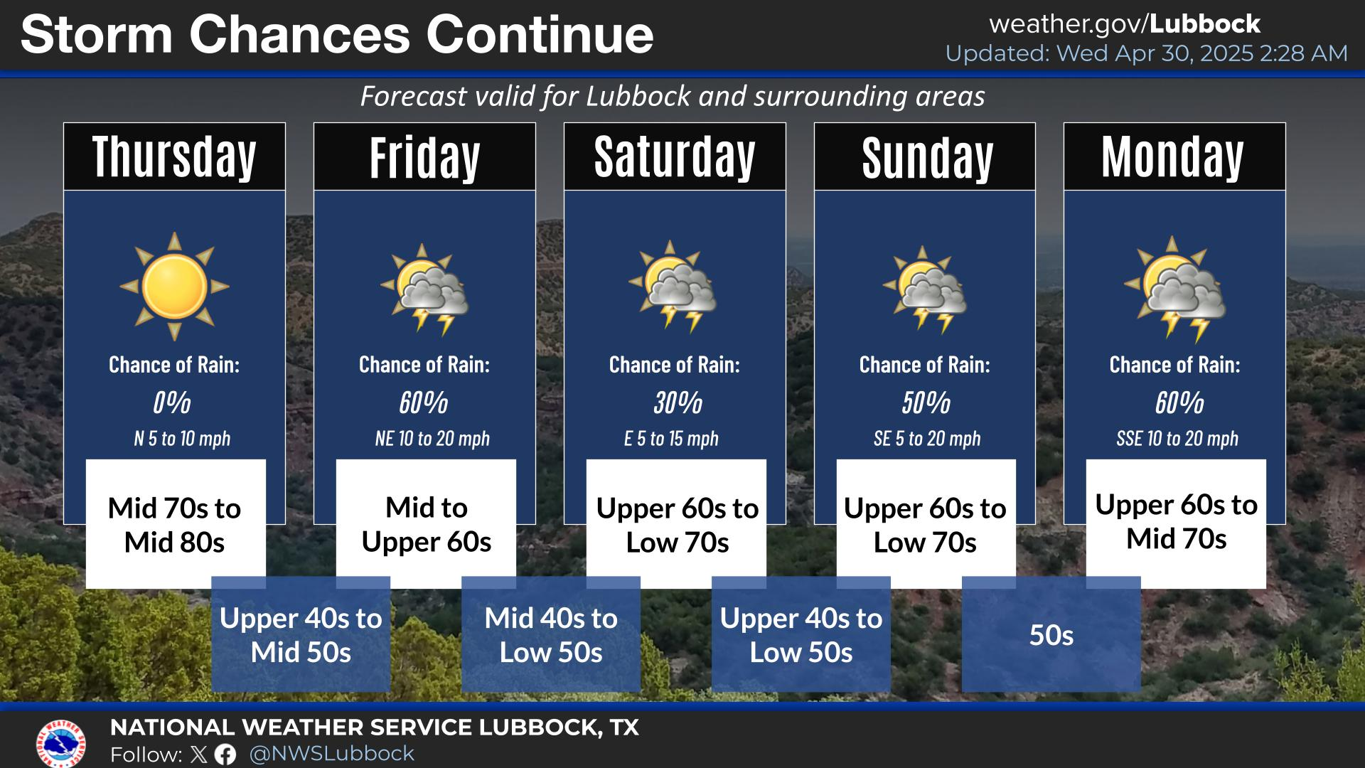
We have a 40% - 60% chance of seeing scattered rain showers and perhaps a few t-storms today. Our skies will be overcast for most of the day with our afternoon high temperatures forecast to range from 48 in Roswell and Hobbs, to 51 in Artesia and 54 in Carlsbad. The rain will end by late tonight with clearing skies. I would suspect that there may be areas of fog tomorrow morning given the recent light rain over the area.
For the rest of the weekend we can expect to see mostly sunny skies with warming temperatures. Our highs on Saturday are forecast to be in the mid-upper 50's, and Sunday should see at least the mid-upper 60's.
Windy Monday?

Our next weather maker will arrive by Monday. Current model forecasts track this storm to our north so Monday potentially looks like a windy day across SE NM and W TX. We have been lucky so far this winter and haven't had a lot of high wind events. Since November 1st I have recorded 2.21" of rainfall here at my home in Carlsbad, and 17.5" of snowfall. Its been a wet winter, and hopefully this will carry over into the spring.
The Truth Is Stranger Than Fiction!
My Web Page Is Best Viewed With Google Chrome.

































Great precip in some areas down there, esp SW NM. Clouds just E and S of me, but sun and finally low 50's at noon. The moist pattern is fine, but not the cold upper lows that just keep on here...Mon, and more after that I saw.
ReplyDeleteI am a little worried that this may be one of those springs when we have a late killing freeze.
ReplyDeleteThe jet stream just keeps on sending storm after storm into the Desert Southwest, and I don't see much of a break in the pattern for awhile.