Current Date & Time

Fall Freeze Data For New Mexico

Finally Some Much Needed Cooler Wx!

Right Click On The Maps To Open Them In A Separate Window.

Forecast Position Of The Cold Front At 6 PM MDT.

Forecast Low Temps Tuesday Morning.


Finally, the back of the historic summer heat wave has been broken. Late last night the seasons first fall-like cold front barreled into SE NM. Strong northerly winds and blowing dust accompanied the frontal passage. A few tree limbs were reported to have been blown down in Artesia. Some of the stronger wind gusts reported last night include- 49 mph at the Artesia Airport, 46 mph at the Caprock Raws, 46 mph at the Roswell Airport, 45 mph at the 8-Mile Draw Raws, and 41 mph at the Bat Draw Raws at Carlsbad Caverns Visitor Center.

Much cooler air has overspread the area behind the cold front. As of 1:30 PM MDT my temperature here at my home in Carlsbad, NM was 66. This has been the low for the day so far. My high for the day has been 79 which was set around midnight. Skies will clear by tonight, allowing for a cool crisp fall night to occur, with lows in the 50's by tomorrow morning. The rest of the upcoming work-week looks to be mild and dry with highs in the 80's.

Rainfall was fairly widespread across the area overnight into the noon hour today. Most reporting stations recorded less than a half of an inch, with a lot of stations reporting two tenths of an inch or less.

 Rainfall Totals As Of 1:30 PM MDT-

 Smokey Bear Raws Near Ruidoso .90"
Cosmic Raws - Apache Point .71"
4.0 E Cloudcroft .63"
4.9 NE Cloudcroft .62"
Dry Canyon - Cloudcroft .61"
3.9 NNW Ruidoso .60"
4.4 NW Ruidoso .57"
Hodge Podge Lodge - Ruidoso .45"
0.4 ESE Cloudcroft .45"
Sacramento Peak - Sunspot .43"
Ruidoso @ Eagle & Sudderth .39"
Mayhill CW9878 .32"
1.8 SW Cloudcroft .25"
Mayhill Raws .20"
Mescal Raws - Near Mescalero .20"
16 ESE Cloudcroft - Mayhill .20"
2.3 S Cloudcroft .18"

8-Mile Draw Raws .25"
Roswell Airport .23"
2.1 NNW Downtown Carlsbad .20"
South Hobbs - KF5KMC .20"
7.6 NNW Roswell .16"
Carlsbad Airport .15"
Queen Raws .15"
Paduca Raws - Near WIPP .13"
0.3 SSW Downtown Roswell .13"
NW Hobbs - KM5BS .12"
East Hobbs .12"
Dog Canyon Raws .11"
Dark Canyon Draw Raws .10"
Caprock Raws .10"

Bat Draw Raws .09"
Artesia Airport .03"
McKittrick Canyon Raws .02"
Bowl Raws - 1/2 N Guadalupe Pk .01"
Cottonwood - NW of Artesia .01"
Alfadale - Atoka .01"

The Truth Is Stranger Than Fiction!

Comments

  1. Glad the cool air is making it down there! A nice break, isn't it - like October.

    ReplyDelete
  2. Cetainly felt like early October yesterday David, man am I glad to see those 100+ days go away. Can't believe that Albuquerque has had more rain this year than Carlsbad. That just does not happen! Thanks for dropping by my site.

    ReplyDelete

Post a Comment

Your comments, questions, and feedback on this post/web page are welcome.

My Blog Archive List (July 2010 - August 2025).

Show more

My Current Weather Conditions

Eddy County

Guadalupe Mtns Eddy & Culberson County

Lea County

NWS Midland Web Page

NWS Midland Web Page
Click On The Map To Open It Up

SE New Mexico & West Texas Precipitation Forecasts

NWS Midland Hazardous Weather Outlook

NWS Midland Hazardous Weather Outlook
Click On The Image To See The Rest Of The Outlooks

NWS Midland Hazardous Weather Outlook

NWS Midland Hazardous Weather Outlook
Click On The Image To See The Rest Of The Outlooks

NWS Midland Hazardous Weather Outlook

NWS Midland Hazardous Weather Outlook

NWS Midland Graphic Forecast

NWS Midland Forecast Graphic

NWS Midland Forecast High Temperatures Today

NWS Midland Forecast Low Temperatures Tonight

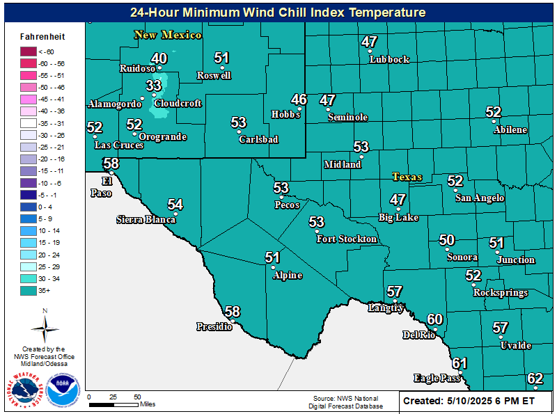
NWS Midland Wind Chill Forecast

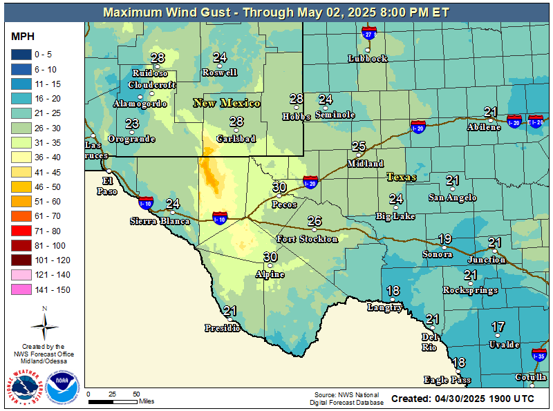
NWS Midland Peak Wind Gust Forecast

New Mexico

Chaves County Plains & Mtn's

Lincoln County

NWS Albuquerque Web Page

NWS Albuquerque Web Page
Click On The Map To Open It Up

NWS Albuquerque New Mexico Precipitation Forecasts

NWS Albuquerque Hazardous Weather Outlook

NWS Albuquerque Hazardous Weather Outlook

NWS Albuquerque Forecast Grpahics

NWS Albuquerque Forecast Graphics

NWS Albuquerque Forecast Graphic

NWS Albuquerque Graphic Forecast

NWS Albuquerque Graphic Forecast

NWS Albuquerque Forecast High Temperatures Today

NWS Albuquerque Forecast Low Temperatures Tonight

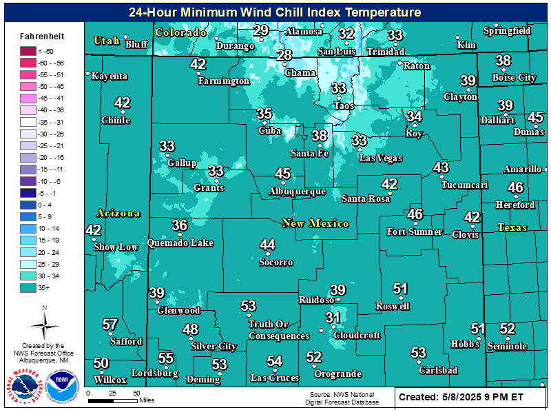
NWS Albuquerque Wind Chill Forecast

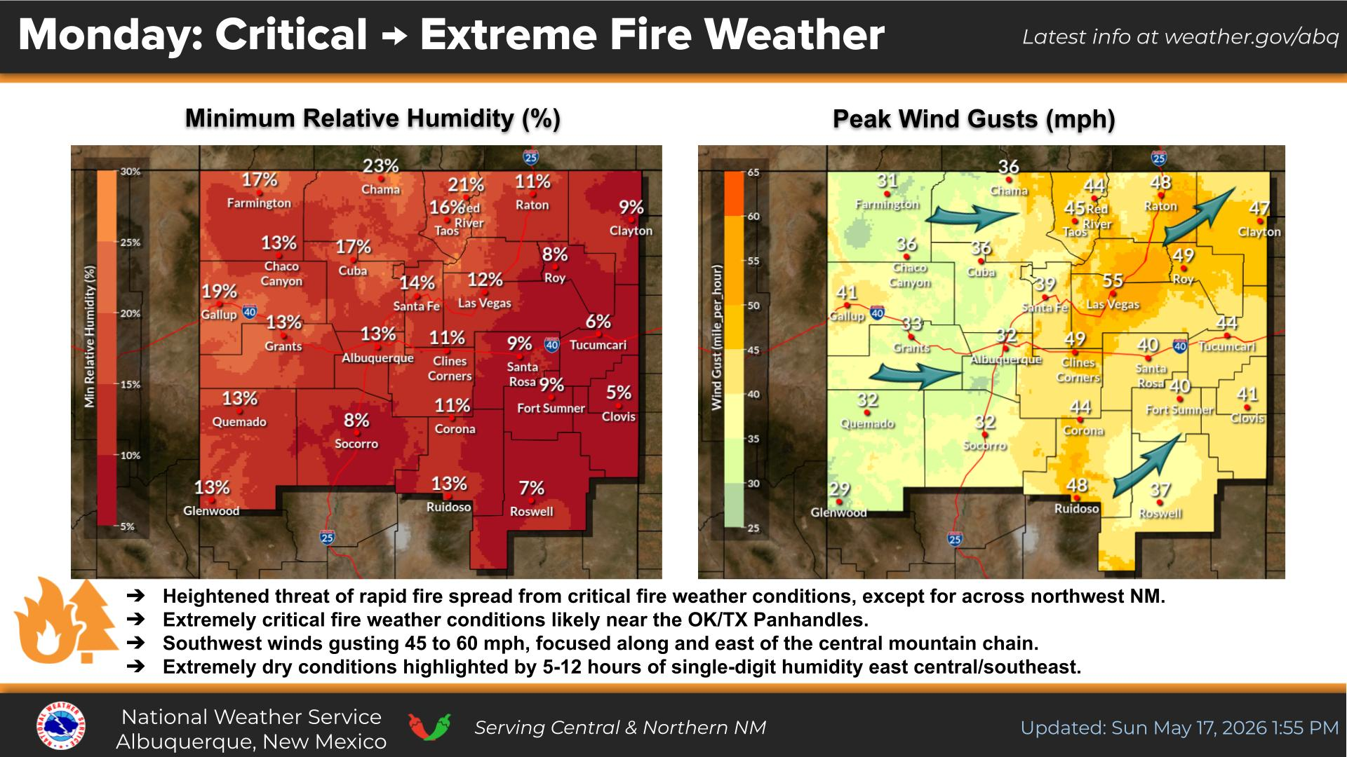
NWS Albuquerque Peak Wind Gust Forecast

Texas

Otero County

NWS El Paso Web Page

Southern New Mexico & Far West Texas Precipitation Forecasts

NWS El Paso Hazardous Weather Outlook

NWS El Paso Hazardous Weather Outlook
Click On The Image To See The Rest Of The Outlooks

NWS El Paso Hazardous Weather Outlook

NWS El Paso Hazardous Weather Outlook
Click On The Image To See The Rest Of The Outlooks

NWS El Paso Graphic Forecast

NWS El Paso Graphic Forecast

NWS El Paso Graphic Forecast

NWS El Paso Graphic Forecast

NWS El Paso Graphic Forecast

NWS El Paso Forecast High Temperatures Today

NWS El Paso Forecast Low Temperatures Tonight

NWS El Paso Wind Chill Forecast

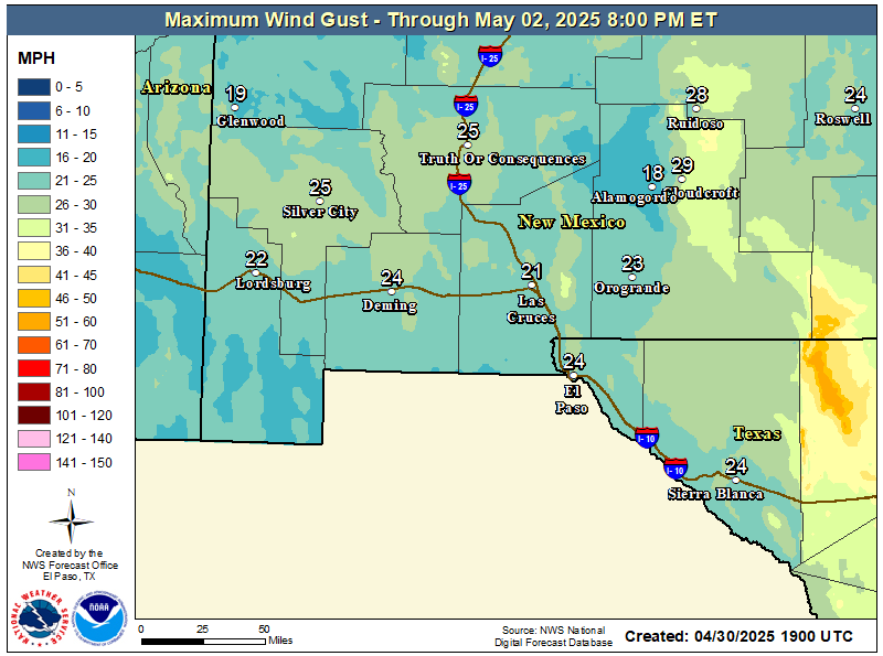
NWS El Paso Peak Wind Gust Forecast

NWS Lubbock Web Page

NWS Lubbock Web Page
Click On The Map To Open It Up

NWS Lubbock South Plains Precipitation Forecasts

NWS Lubbock Hazardous Weather Outlook

NWS Lubbock Hazardous Weather Outlook
Click On The Image To See The Rest Of The Outlooks

NWS Lubbock Hazardous Weather Outlook

NWS Lubbock Hazardous Weather Outlook
Click On The Image To See The Rest Of The Outlooks

NWS Lubbock Hazardous Weather Outlook

NWS Lubbock Graphic Forecast

NWS Lubbock Graphic Forecast

NWS Lubbock Graphic Forecast

NWS Lubbock Hi Temperature Forecast Today

NWS Lubbock Low Temperature Forecast Tomight

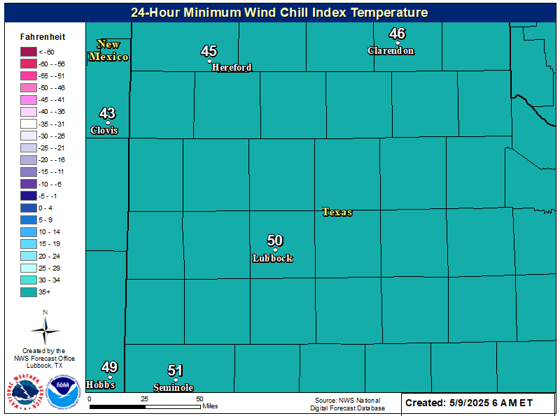
NWS Lubbock Wind Chill Forecast

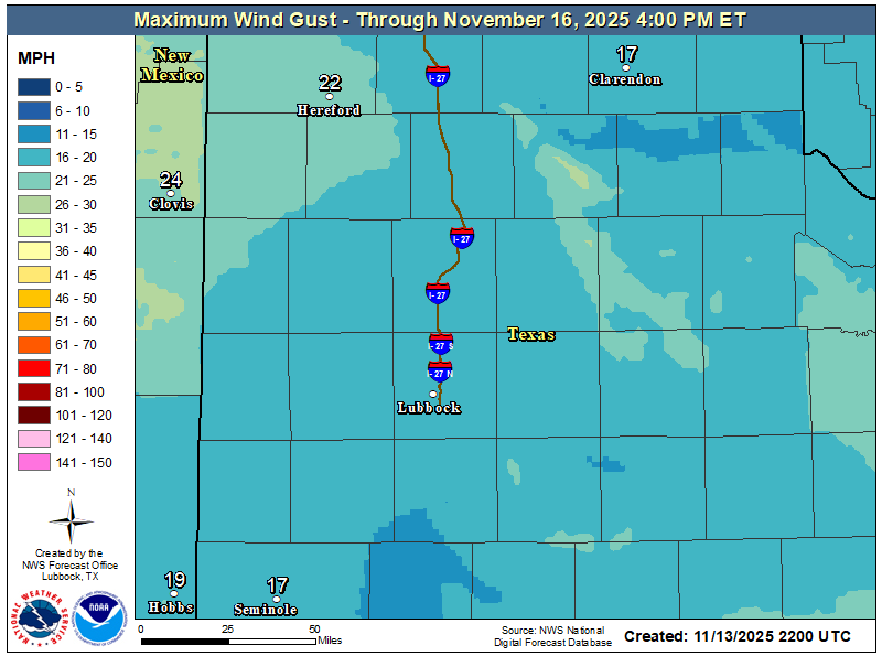
NWS Lubbock Peak Wind Gust Forecast

My Rainfall Totals - 2.1 NNW Downtown Carlsbad

My Rainfall Totals - 2.1 NNW Downtown Carlsbad

My Seasonal Snowfall Totals - 2.1 NNW Downtown Carlsbad

My Seasonal Snowfall Totals - 2.1 NNW Downtown Carlsbad

Disclaimer

This blog and its contents are for informational purposes only! Always have multiple sources of information available to rely upon during severe weather. Do not rely solely on the Internet. Be weather-aware, plan ahead, have a backup plan, and be ready to act before severe weather strikes your location.