Current Date & Time

Fall Freeze Data For New Mexico

Typical March Weather Today - Windy & Dusty.


GRLevel3 2.00 Doppler Radar Composite Reflectivity.
Holloman AFB Doppler Radar @ 5:07 PM MST. 

Southern New Mexico's first Severe Thunderstorm Warning of the year was issued by the El Paso National Weather Service Office at 5:04 PM MST yesterday. A cluster of thunderstorms moved northeastward through the Tularosa Basin at around 50 mph while producing damaging winds.

The highest wind gust noted was at San Augustin Pass, where a gust to 78 mph was recorded. The Warning was allowed to expire at 5:45 PM. As this cluster of thunderstorms moved through the Carrizozo area at 5:45 PM MST, damage to the Carrizozo Market (pictures above) occurred from high winds. Additional wind, rain, and snow reports across the state can be viewed by visiting this link.

 This proves that severe weather can occur just about anywhere in New Mexico, at any time, and not necessarily across the eastern or southeastern plains where it is most common.

Windy & Dusty Today. 


Today's weather will be fairly typical for March, windy and dusty. A Wind Advisory covers much of the area for westerly winds that are forecast to increase this morning to 30 - 40 mph with gusts up around 55 mph. 

As would be par for the course a High Wind Warning remains in effect for the Guadalupe mountains today and into this evening around midnight. Westerly winds are expected to become sustained at around 35 - 50 mph with gusts near 70 mph.

Our normally dust prone locations such as open or freshly plowed farmlands, fields, construction sites, and lots will be especially vulnerable to blinding clouds of blowing dust. Sudden drops in the visibility down to near zero with little or no advanced warning may occur in and near these locations today.

Today will be cooler with highs in the low to upper 60's across the local area. Sunday will be about ten to 15 degrees cooler than today with highs in the low to mid 50's. Monday will see a start to the warming trend with highs in the mid to upper 60's. By Tuesday we will be right back up in the upper 70's to near 80.

A Winter Weather Advisory is in effect today for the southern Sacramento mountains where 1" - 3" of new snow will be possible below 7,500' MSL. Cloudcroft and surrounding areas above 7,500' may see 3" - 5" of new snow by tonight.    

24-Hour Rainfall Reports.
(As Of 7 AM MST).

      
The Truth Is Stranger Than Fiction!

 My Web Page Is Best Viewed With Google Chrome.

Comments

  1. Amazing storm wind damage - so glad it was just t-storm with lightning up in clouds, or on distant hills here. And needed rain (even snow flurries just minutes ago!).

    ReplyDelete

Post a Comment

Your comments, questions, and feedback on this post/web page are welcome.

My Blog Archive List (July 2010 - August 2025).

Show more

My Current Weather Conditions

MY CoCoRaHS Precipitation Data

NWS Albuquerque 2026 Winter Outlook

Eddy County

Guadalupe Mtns Eddy & Culberson County

Lea County

NWS Midland Web Page

NWS Midland Web Page
Click On The Map To Open It Up

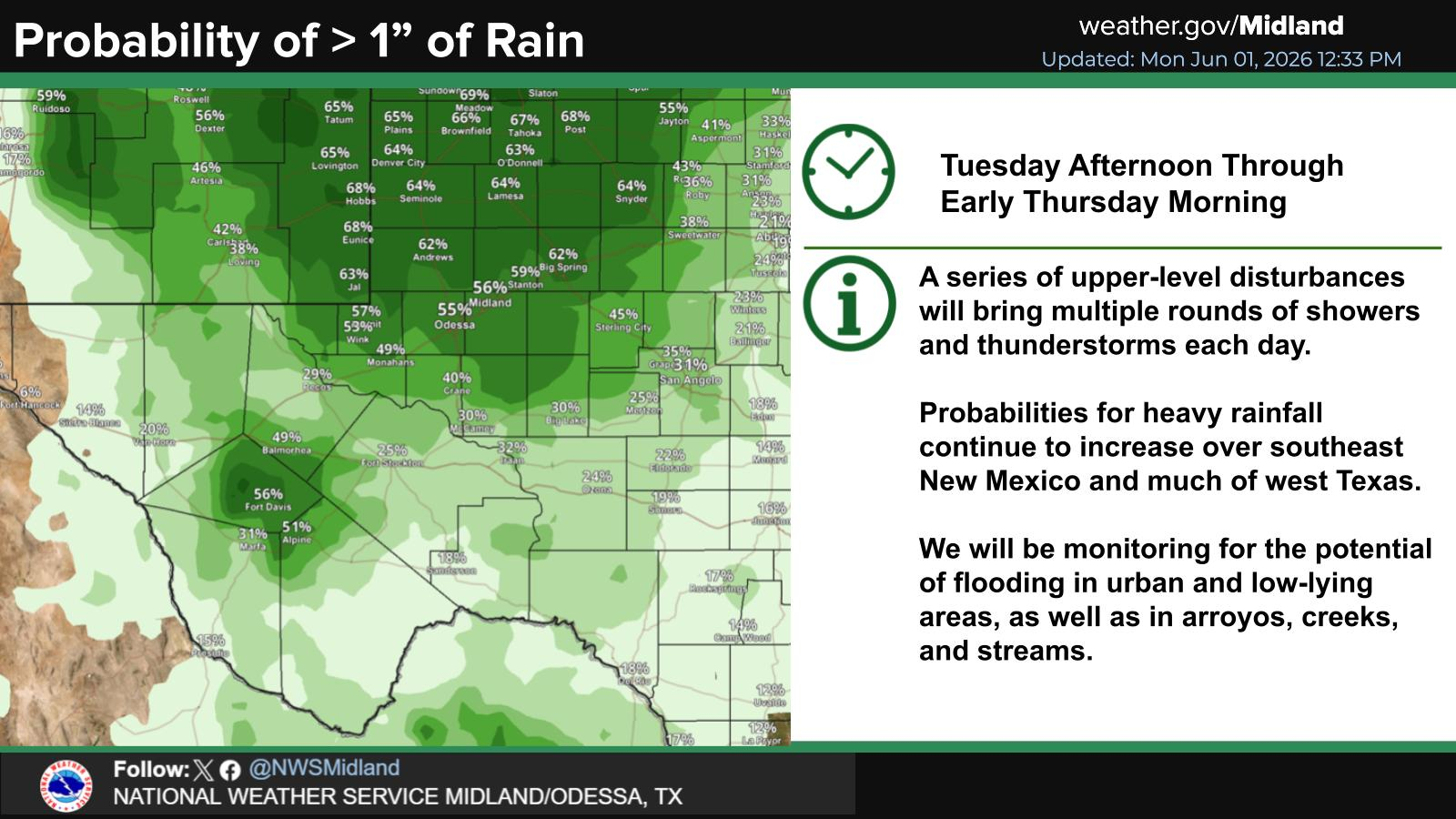
SE New Mexico & West Texas Precipitation Forecasts

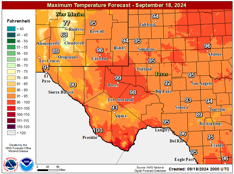
NWS Midland Forecast High Temperatures Today

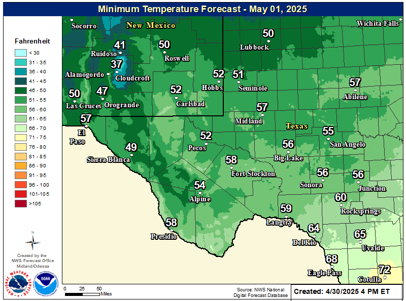
NWS Midland Forecast Low Temperatures Tonight

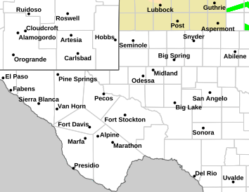
NWS Midland Hazardous Weather Outlook

NWS Midland Hazardous Weather Outlook
Click On The Image To See The Rest Of The Outlooks

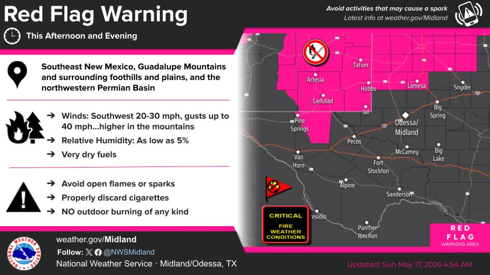
NWS Midland Graphic Forecast

NWS Midland Forecast Graphic

New Mexico

Chaves County Plains & Mtn's

Lincoln County

NWS Albuquerque Web Page

NWS Albuquerque Web Page
Click On The Map To Open It Up

NWS Albuquerque New Mexico Precipitation Forecasts

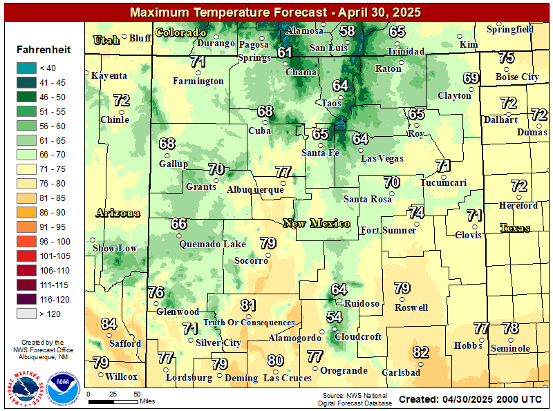
NWS Albuquerque Forecast High Temperatures Today

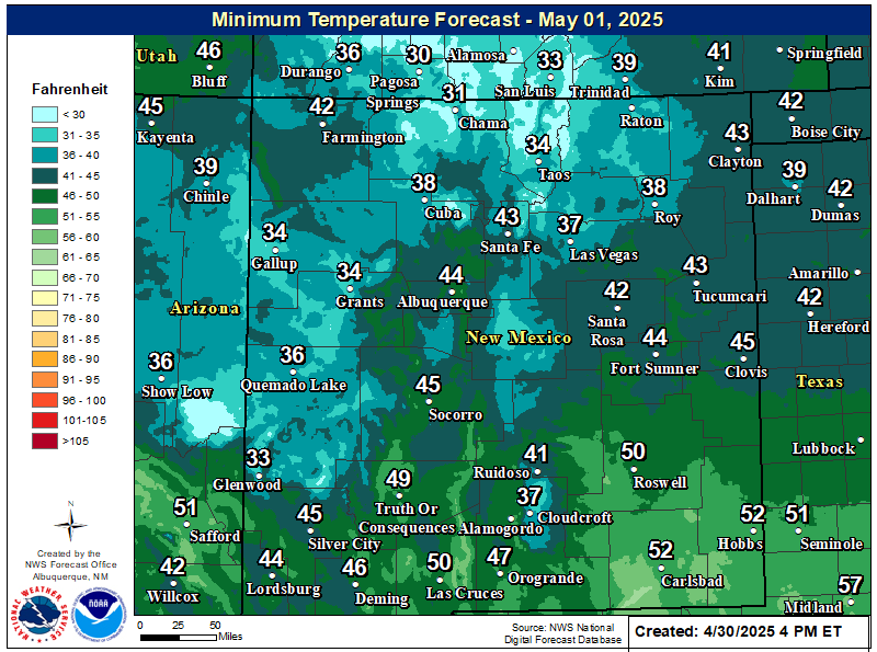
NWS Albuquerque Forecast Low Temperatures Tonight

NWS Albuquerque Wind Chill Forecast

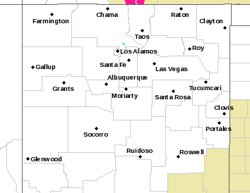
NWS Albuquerque Hazardous Weather Outlook

NWS Albuquerque Hazardous Weather Outlook

NWS Albuquerque Graphic Forecast

NWS Albuquerque Graphic Forecast

NWS Albuquerque Forecast Grpahics

Texas

Otero County

NWS El Paso Web Page

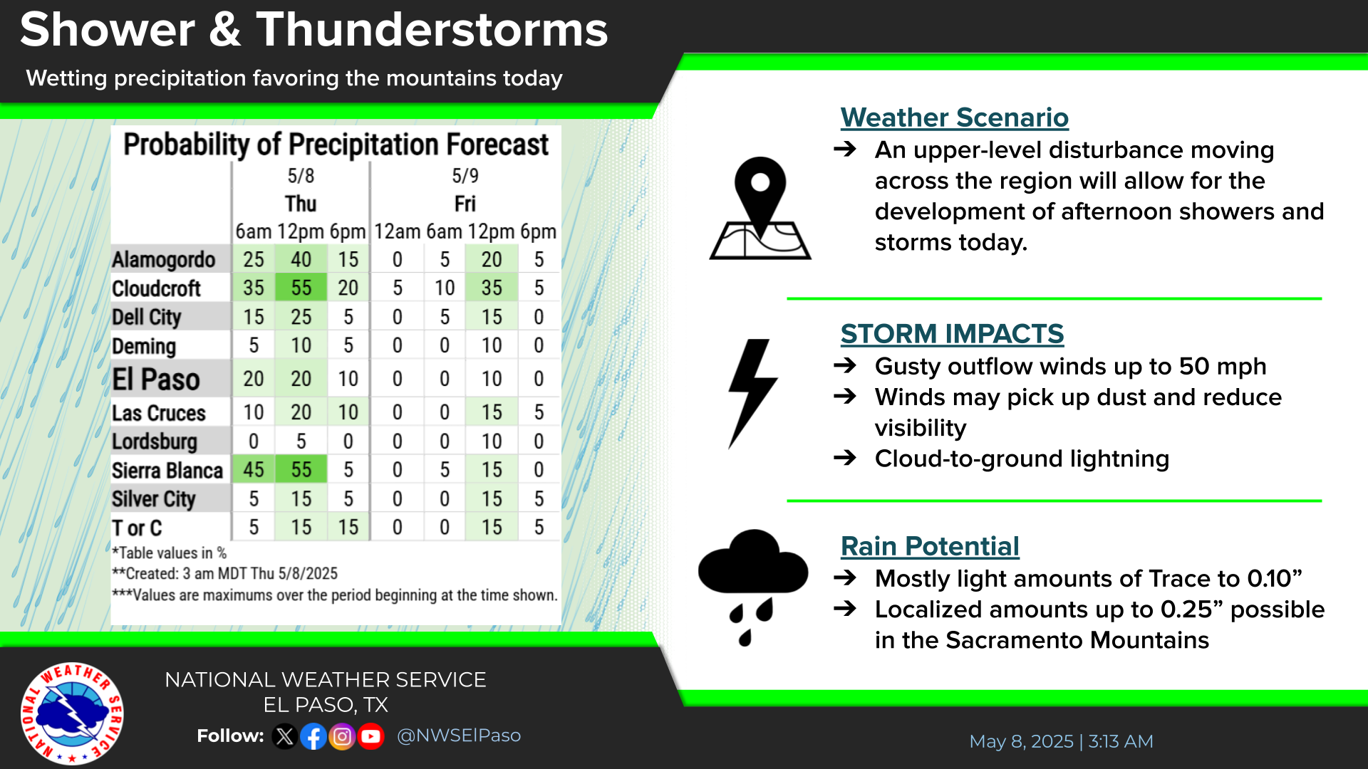
Southern New Mexico & Far West Texas Precipitation Forecasts

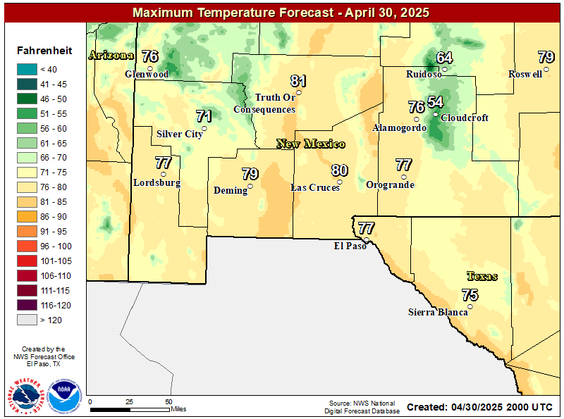
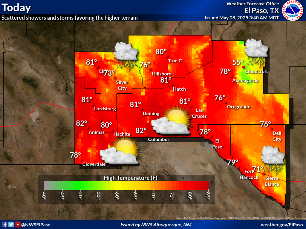
NWS El Paso Forecast High Temperatures Today

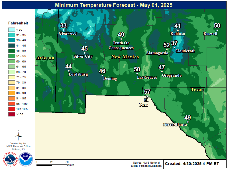
NWS El Paso Forecast Low Temperatures Tonight

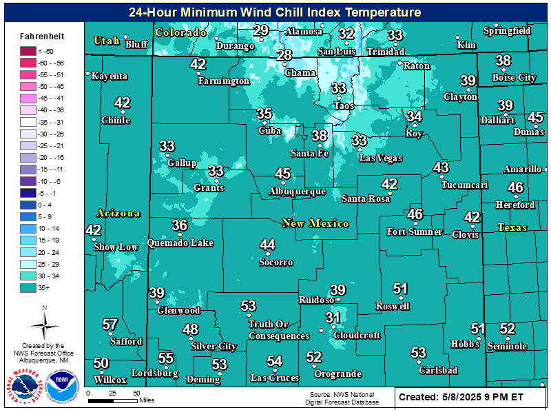
NWS El Paso Wind Chill Forecast

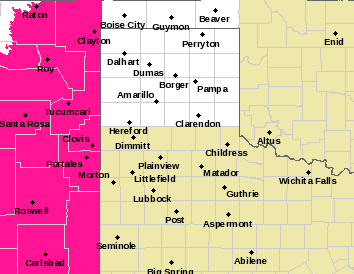
NWS El Paso Hazardous Weather Outlook

NWS El Paso Hazardous Weather Outlook
Click On The Image To See The Rest Of The Outlooks

NWS El Paso Hazardous Weather Outlook

NWS El Paso Hazardous Weather Outlook
Click On The Image To See The Rest Of The Outlooks

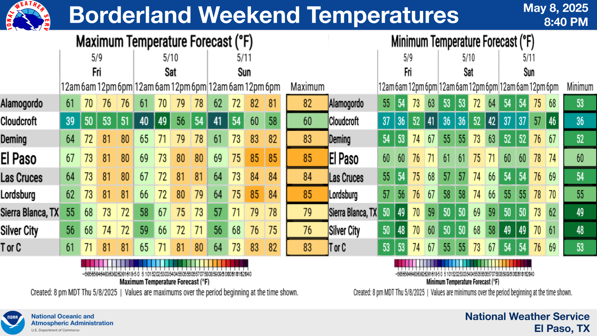
NWS El Paso Graphic Forecast

NWS El Paso Graphic Forecast

NWS El Paso Graphic Forecast

NWS Lubbock Web Page

NWS Lubbock Web Page
Click On The Map To Open It Up

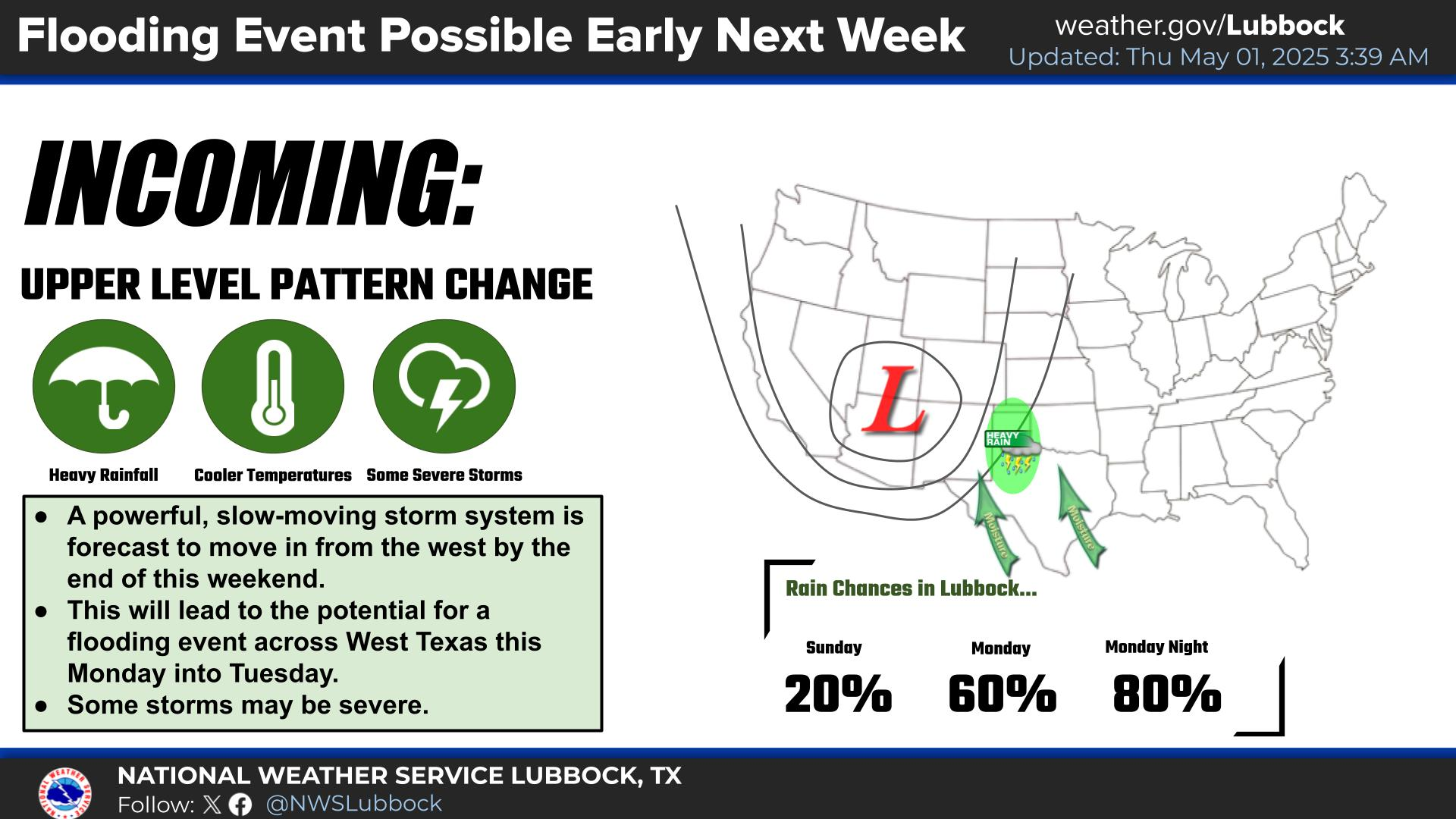
NWS Lubbock South Plains Precipitation Forecasts

NWS Lubbock Hi Temperature Forecast Today

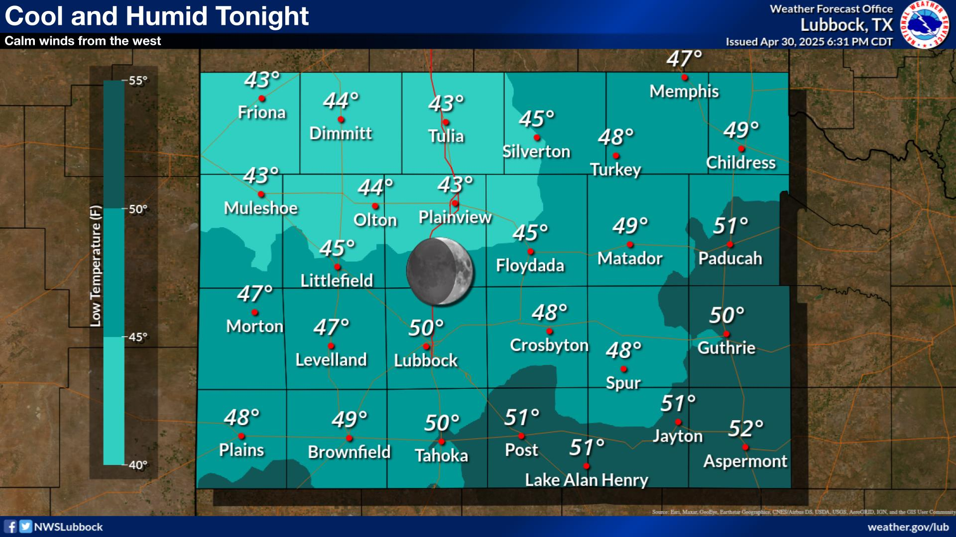
NWS Lubbock Low Temperature Forecast Tomight

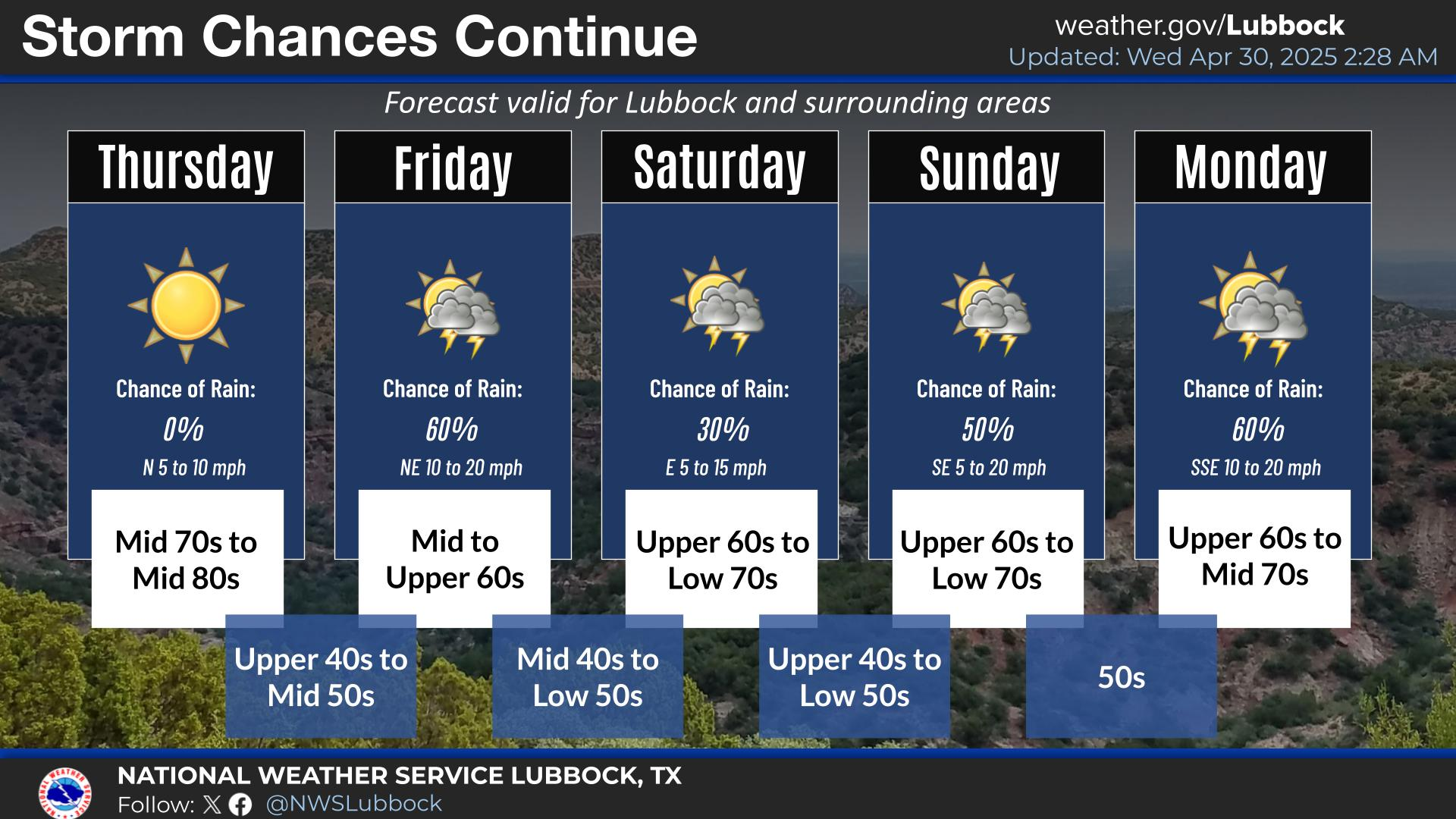
NWS Lubbock Graphic Forecast

NWS Lubbock Graphic Forecast

NWS Lubbock Graphic Forecast

My Rainfall Totals - 2.1 NNW Downtown Carlsbad

My Rainfall Totals - 2.1 NNW Downtown Carlsbad

My Seasonal Snowfall Totals - 2.1 NNW Downtown Carlsbad

My Seasonal Snowfall Totals - 2.1 NNW Downtown Carlsbad

Disclaimer

This blog and its contents are for informational purposes only! Always have multiple sources of information available to rely upon during severe weather. Do not rely solely on the Internet. Be weather-aware, plan ahead, have a backup plan, and be ready to act before severe weather strikes your location.