Posts

Showing posts from September, 2013

Current Date & Time

Fall Freeze Data For New Mexico

Flash Flooding On The Rio Felix...Sept 12th - Sept 18th.

Image
USGS Flood Gauge On The Rio Felix Near Hagerman, NM. Click On This Link To View My You Tube Video Of The Event. Three different flood crests were noted on the flood gauge on the Rio Felix Arroyo near Hagerman, New Mexico between September 12th and September 18th. I shot the photos above at the YO Crossing 14 miles west of Hagerman, just north of State Road 13. The water had over-topped this bridge at least twice. The Truth Is Stranger Than Fiction!  My Web Page Is Best Viewed With Google Chrome.
Coolest Morning Of The Fall Season - Low's In The 40's.

Image
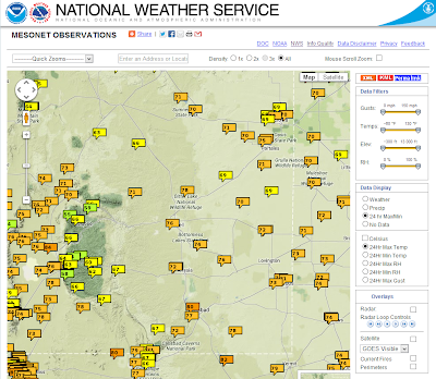
High Temps Saturday. NWS Mesonet High Temps Reported Saturday. Low Temps Reported This Morning. NWS Mesonet Low Temps Reported This Morning. Chilly This Morning. HRRR Temps At 7 AM MDT This Morning. HRRR Temps At 7 AM MDT This Morning. My Low Temp Here At My Home In Carlsbad Was 48. The Low Temp In Atoka Was 46. The Low Temp In Cottonwood Was 41. The Low Temp In Southeastern Roswell Was 43. The Low At Woody Farms North Of Hobbs Was 47. The Low In Cloudcroft Was 37. The Low At KEDU Radio In Downtown Ruidoso Was 28. The Truth Is Stranger Than Fiction!  My Web Page Is Best Viewed With Google Chrome.

A Beautiful New Mexico Early Fall Weekend.

Image
This Mornings Temps At Sunrise. HRRR Temperatures At 7 AM MDT This Morning. HRRR Dew Point Temperatures At 7 AM MDT This Morning. A Pacific cold front swept eastward across New Mexico and west Texas overnight. Its really easy to see where the front was located at sunrise this morning. A much cooler and drier airmass has moved in behind the front . The Gulf moisture has been swept eastward out of the area with our dew point temperatures running in the 30's this morning, verses the 50's and 60's yesterday. Yesterday's Rain. NWS Midland, TX Dual Polarization Radar Estimated Rainfall Totals. Using GRLevel 3_2.00 Software. Most of yesterday afternoons and evenings thunderstorms managed to stay east of the Pecos River. Yesterday's High Temps. NWS Mesonet High Temperatures Reported Yesterday. Today's High Temps. 12Z 6 AM MDT WRF/NAM Forecast Temps. Valid At 4 PM MDT Today. 00Z/6 PM MDT ECMWF Temperature An...

Fall Storm Gives US Another Shot At T-Storms.

Image
06Z NAM 500 MB Forecast.  Valid At 6 PM MDT This Afternoon. 06Z WRF/NAM Similutated Radar Forecast. Valid At 10 PM MDT This Evening. 06Z WRF/NAM Total Rainfall Forecast. 06Z WRF/NAM Temperature Forecast. Valid At 6 AM MDT Sunday.  An upper-level trough of low pressure will swing across New Mexico today and tonight. As it does so a cold front will sweep across the state behind it, while the dry line fires up across the eastern and southeastern plains this afternoon and evening. Scattered thunderstorms are forecast to break out this afternoon across the local area and move eastward into west Texas tonight. Some of these thunderstorms will have to potential to become strong, perhaps even severe, and produce strong gusty winds, hail, and locally heavy rainfall. Some local rainfall totals may exceed an inch.  Severe thunderstorms are forecast across parts of west Texas this afternoon and evening. There will also be a slight risk of torna...

Flash Flooding Along The Rio Penasco - Sept 15th -18th, 2013.

Image
Notice the debris line in the two photos above. USGS Flood Gauges On The Rio Penasco. Otero County CoCoRaHs Rainfall Totals For September 2013. Holloman AFB Dual Polarization Radar Estimated Rainfall- Using GRLevel 3_2.00 Software. Flash flooding occurred along the Rio Penasco from September 12th through September 18th. Four different crests were measured by the USGS Gauge west of Hope. Radar estimated that 6.60" of rain may have fallen in the 16 Springs Canyon area east of Cloudcroft. The Truth Is Stranger Than Fiction!   My Web Page Is Best Viewed With Google Chrome.

Severe T-Storms Northern NM Today - Snow Above 10,000' Tonight.

Image
Temps @ 6 AM MDT This Morning. NWS Mesonet High Temps Yesterday. NWS Mesonet Low Temps This Morning. Yesterday was a beautiful day across southeastern New Mexico and nearby areas. My wife and I took a trip up to Cloudcroft and Alamogordo, with Cloudcroft only having an afternoon high temp of 62 fall definitely was in the air. We noticed that the aspens are starting to turn so in a couple of weeks the mountains will be ablaze with color. The low temperature at the Carlsbad Airport ASOS this morning was 57F . It hasn't been this cool since May 14th when a low of 55F was reported.   Water Vapor Satellite Image @ 8:45 AM MDT This Morning. SPC Day 1 Severe Weather Outlook Today. NAM/WRF 3-Hour Total Snowfall Accumulation Forecast. Valid @ 9 AM MDT Monday Morning. Map is Courtesy Of The Albuquerque NWS Office. An upper-level trough of low pressure is forecast to swing across northern New Mexico today. As it does so Seve...
Goodbye Monsoon...Hello Fall.

Image
Water Vapor Satellite Image At 8:45 AM MDT This Morning. Dry air has replaced our tropical airmass that helped to produce  the states much welcomed rainfall over the week and a half. This is indicated by the orange and red shading on the map above. A trough of low pressure currently located over the Pacific Northwest will swing across northern New Mexico on Sunday. Courtesy Of The Albuquerque NWS Office. Fall officially begins Sunday afternoon , September 22nd and with its arrival will be e a significant change in the weather pattern. Small hail and strong wind gusts are likely with thunderstorms on Sunday and Sunday night, mainly north of Interstate 40. Lowering snow levels Sunday night will allow for some snow accumulation on the higher peaks of the northern mountains. Much drier air, breezy conditions and temperatures a little below seasonal averages will characterize Monday's weather. 00Z/6 PM MDT GFS 500 MB Forecast. Valid At 6 PM MDT Thurs...

My Blog Archive List (July 2010 - August 2025).

Show more

My Current Weather Conditions

MY CoCoRaHS Precipitation Data

NWS Albuquerque 2026 Winter Outlook (Updated Nov 3rd).

NWS Midland Web Page

NWS Midland Web Page
Click On The Map To Open It Up

SE New Mexico & West Texas Precipitation Forecasts

Eddy County

Guadalupe Mtns Eddy & Culberson County

Lea County

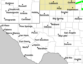
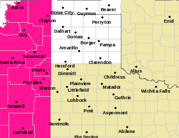
NWS Midland Hazardous Weather Outlook

NWS Midland Hazardous Weather Outlook
Click On The Image To See The Rest Of The Outlooks

NWS Midland Hazardous Weather Outlook

NWS Midland Hazardous Weather Outlook

NWS Midland Hazardous Weather Outlook

NWS Midland Hazardous Weather Outlook
Click On The Image To See The Rest Of The Outlooks

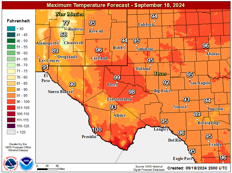
NWS Midland Forecast High Temperatures Today

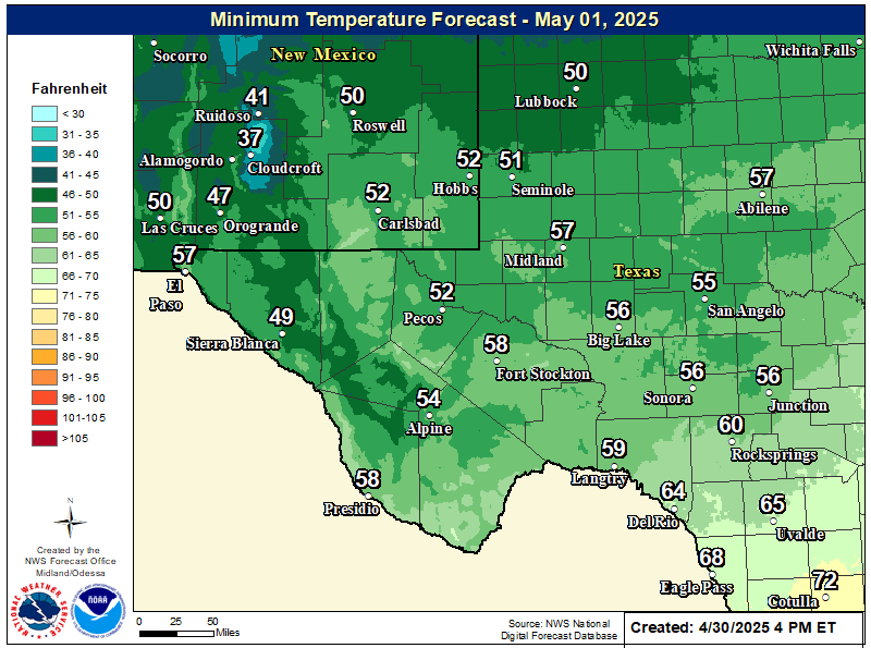
NWS Midland Forecast Low Temperatures Tonight

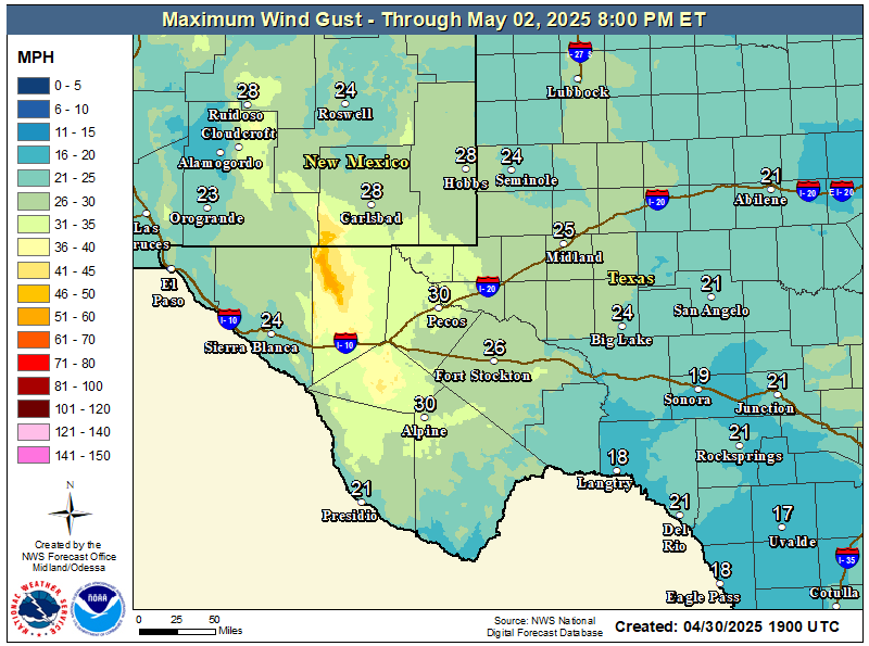
NWS Midland Peak Wind Gust Forecast

NWS Midland Forecast Graphic

NWS Midland Forecast Graphic
Rain chances will increase from west to east over our area Friday evening through early Saturday morning ahead of an approaching upper level system. Rain showers may linger over eastern portions of our region into the day Saturday. Locally heavy rainfall may result in minor flooding or ponding of water in urban and low lying areas, but the overall risk of flash flooding remains very limited.

NWS Albuquerque Web Page

NWS Albuquerque Web Page
Click On The Map To Open It Up

NWS Albuquerque New Mexico Precipitation Forecasts

New Mexico

Chaves County Plains & Mtn's

Lincoln County

NWS Albuquerque Hazardous Weather Outlook

NWS Albuquerque Hazardous Weather Outlook

NWS Albuquerque Forecast High Temperatures Today

NWS Albuquerque Forecast Low Temperatures Tonight

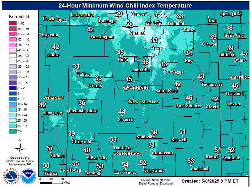
NWS Albuquerque Wind Chill Forecast

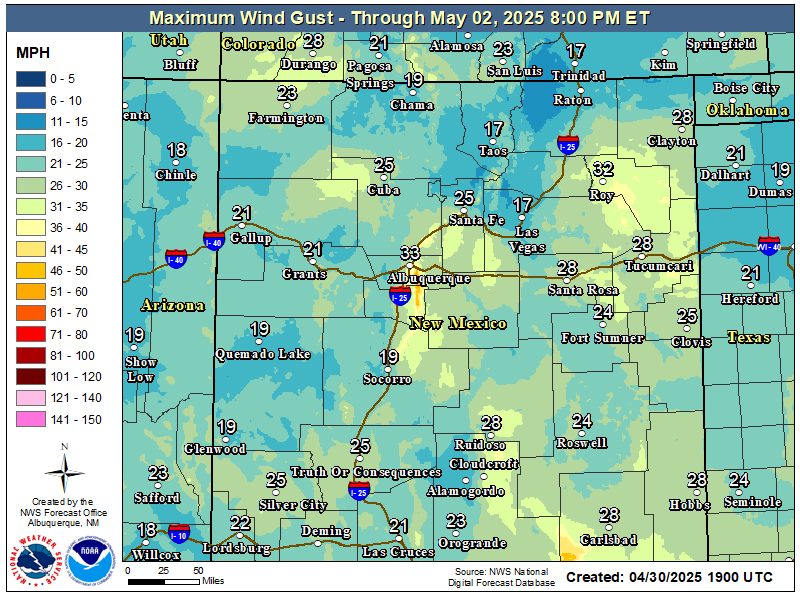
NWS Albuquerque Peak Wind Gust Forecast

NWS Albuquerque Graphic Forecast

NWS Albuquerque Graphic Forecast
Showers with embedded thunderstorms enter southwestern NM this afternoon, spreading to more of eastern and northern NM tonight into Saturday morning. Some storms will produce gusty winds and brief moderate rainfall.

NWS Albuquerque Graphic Forecast

NWS Albuquerque Graphic Forecast
Valley rain and mountain snow spread over the northern mountains with rain and storms favoring the eastern plains through much of the day Saturday.

NWS Albuquerque Graphic Forecast

NWS Albuquerque Graphic Forecast
Snow above 9,000' will generally range 2-6 inches with locally higher amounts up to 8 inches atop the peaks. Slick winter travel will favor the U.S. 64 corridor through the Tusas Mts.

NWS Albuquerque Forecast Grpahics

NWS Albuquerque Forecast Grpahics
Cooler and wetter weather late today through the weekend. Calmer weather returns late Sunday through Monday before the next storm system looks to clip northwestern NM Tuesday.

NWS El Paso Web Page

Southern New Mexico & Far West Texas Precipitation Forecasts

Texas

Otero County

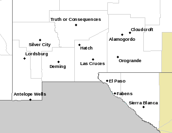
NWS El Paso Hazardous Weather Outlook

NWS El Paso Hazardous Weather Outlook
Click On The Image To See The Rest Of The Outlooks

NWS El Paso Hazardous Weather Outlook

NWS El Paso Hazardous Weather Outlook
Click On The Image To See The Rest Of The Outlooks

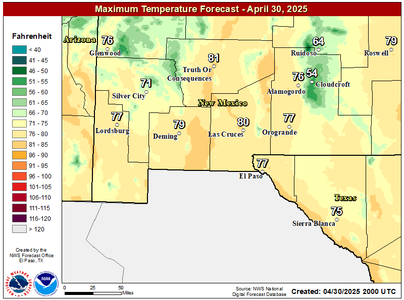
NWS El Paso Forecast High Temperatures Today

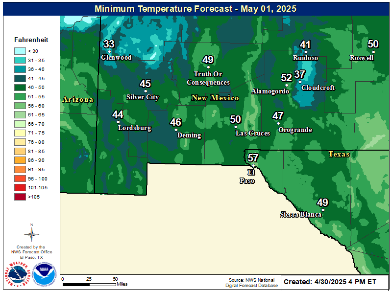
NWS El Paso Forecast Low Temperatures Tonight

NWS El Paso Wind Chill Forecast

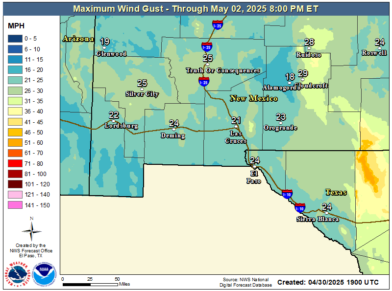
NWS El Paso Peak Wind Gust Forecast

NWS El Paso Graphic Forecast

NWS El Paso Graphic Forecast
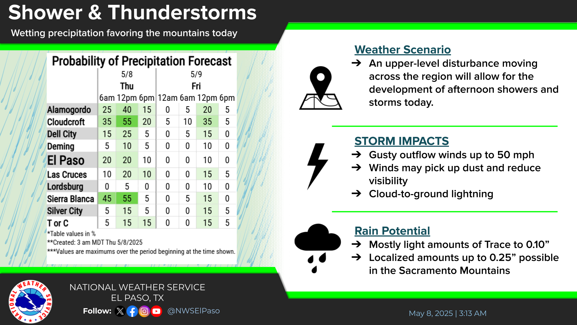
A Pacific storm system rapidly moves across Arizona and southern New Mexico in the afternoon and night of Friday. Highest rainfall is expected east of the Rio Grande Valley.

NWS El Paso Graphic Forecast

NWS El Paso Graphic Forecast
Showers will begin in the west Friday afternoon and spread east through the evening. Highest rainfall amounts likely from the Rio Grande Valley east. A few thunderstorms also possible.

NWS El Paso Graphic Forecast

NWS Lubbock Web Page

NWS Lubbock Web Page
Click On The Map To Open It Up

NWS Lubbock Hazardous Weather Outlook

NWS Lubbock Hazardous Weather Outlook
Click On The Image To See The Rest Of The Outlooks

NWS Lubbock Hazardous Weather Outlook

NWS Lubbock Hazardous Weather Outlook
Click On The Image To See The Rest Of The Outlooks

NWS Lubbock South Plains Precipitation Forecasts

NWS Lubbock Hi Temperature Forecast Today

NWS Lubbock Low Temperature Forecast Tomight

NWS Lubbock Graphic Forecast

NWS Lubbock Graphic Forecast
Today will start off mostly with highs in the 60s. Clouds will increase tonight along with rain chances with lows in the 40s.

NWS Lubbock Graphic Forecast

NWS Lubbock Graphic Forecast
Cloudy, cool, and rainy conditions are expected across the region Saturday through Saturday night. The highest rain chances will generally be off the Caprock after 6 PM on Saturday evening. Some locally heavy rain is possible, but widespread flooding is not expected.

NWS Lubbock Graphic Forecast

NWS Lubbock Graphic Forecast
Precipitation chances return Friday night through Sunday, with the best chances being Saturday night. Severe storms are not expected, but rainfall amounts over an inch are possible (20-40% chance) off the Caprock. Cooler conditions are expected at the start of next week, when highs may only be in the low 50s.

My Rainfall Totals - 2.1 NNW Downtown Carlsbad

My Rainfall Totals - 2.1 NNW Downtown Carlsbad

My Seasonal Snowfall Totals - 2.1 NNW Downtown Carlsbad

My Seasonal Snowfall Totals - 2.1 NNW Downtown Carlsbad

Disclaimer

This blog and its contents are for informational purposes only! Always have multiple sources of information available to rely upon during severe weather. Do not rely solely on the Internet. Be weather-aware, plan ahead, have a backup plan, and be ready to act before severe weather strikes your location.