


Cold Front Brings Cool Fall Weather Next Few Days.

Near Silver Lake
Northeast of Cloudcroft, NM.
Cool Fall Weather Next Few Days.
Tuesday.

Wednesday.

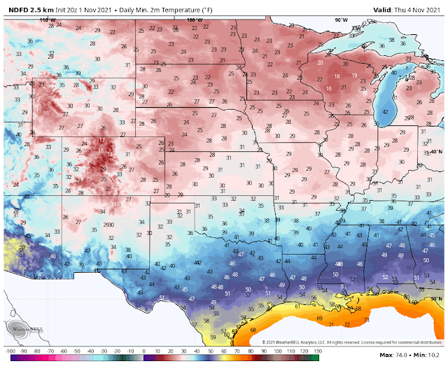
Thursday.
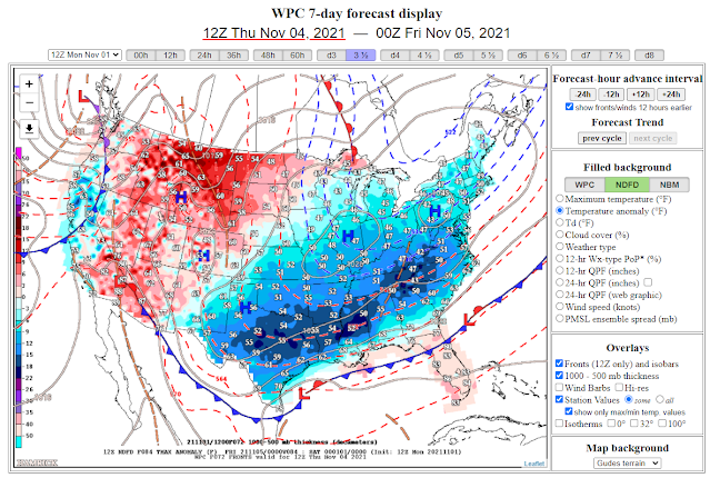
A cold front pushed south into Southeastern New Mexico late Sunday night and early this morning. Meanwhile, high clouds have been overspreading the area today. Tonight a reinforcing shot of colder air will again move south and west into the local area. This will knock out daytime highs down to some 10º to 20º below normal for the date Tuesday into Thursday.
Low clouds will be on the increase tonight with patchy areas of fog and light drizzle developing as low-level easterly upslope flow overspreads the area. This will prevail off and on through Thursday morning. Any precipitation that does manage to get squeezed out will be very light and generally less than a tenth of an inch.
There may be breaks in the low clouds and fog during the day Tuesday and Thursday. Friday afternoon will see a warming trend commence.
Our high temperatures across the Southeastern Plains will range in the 50's and 60's Tuesday through Thursday. Climbing back up into the 70's by Friday. If the low clouds and light drizzle and or light rain does not end or clear out on Wednesday some of our high temps may only be in the 40's and 50's across the Southeastern Plains.
Overall it will certainly feel more fall-like Tuesday into Thursday. Depending upon the lack of clouds and strong radiational cooling Wednesday night, and again Thursday night just might mean that our first widespread frost or freeze may occur locally.
Tuesday.


Thursday.

Friday.


The Truth Is Stranger Than Fiction!


Comments
Post a Comment
Your comments, questions, and feedback on this post/web page are welcome.