Posts

Showing posts from June, 2011

Current Date & Time

Some Relief On The Way From The Searing Heat.

Image
Click On The Maps To Enlarge Them. Today's 12Z/6 AM MDT 500 MB WRF-NAM Forecast Map Valid At 6 PM MDT Today. Upper level trough of low pressure is forecast to swing across Northern New Mexico today. The Upper level ridge will get nudged to our east today. Today's 12Z/6 AM MDT 500 MB WRF-NAM Forecast Map Valid At 3 PM MDT Sat July 2, 2011. By Saturday the upper level ridge is forecast to located over the Four Corners Region. With the center of the upper level ridge shifting off to our north, we should see a afternoon high temperatures drop down into the 90's for the weekend. Tropical Storm Arlene. NHC Forecast Track Of TS Arlene. Rainbow IR Satellite Image Of TS Arlene At 8:45 AM MDT. Tropical Storm Arlene was located 45 miles SSE of Tampico, Mexico at 9:00 AM MDT this morning. Arlene has sustained winds of 65 mph with gusts to 75 mph. Her central pressure is 994 MB/29.35". Arlene is moving onshore. Where Is Our Monsoon? Water Vapor Satellite Image At 9:15 AM MDT Thi...

Tropical Storm Arlene - NM Fires.

Image
Tropical Storm Arlene Strengthens. Click On The Maps To Enlarge Them. NHC Forecast Track Of TS Arlene. IR Rainbow Satellite Image Of TS Arlene At 11:15 AM Today. IR Satellite Image Of TS Arlene At 8:15 AM MDT This Morning. As of 9 AM MDT this morning, Tropical Storm Arlene was located near Latitude 21.2 North and Longitude 95.7 West. Arlene is currently towards the west at 8 mph. Maximum sustained winds are now up to 50 mph, with a central pressure of 1000 MB/29.53". Arlene is forecast to produce 4" - 8" of rainfall over the Mexican States of Tamaulipas, Veracruz, Eastern San Luis Potosi, and Eastern Nuevo Leon. Isolated pockets of 15" of rain may fall over the mountainous terrain. These torrential rainfall totals may cause life threatening flashing and mud slides. Tropical Storm Arlene has the potential to strengthen into a Hurricane before making landfall along the Mexican Coast on Thursday. Whether or not the remnant moisture from Arlene gets pulled northwar...

Las Conchas Fire As Viewed From The International Space Station 6-27-2011..

Image
Click On The Photos To Enlarge Them. "A crew member aboard the International Space Station, flying at an altitude of approximately 235 statute miles on June 27, 2011, exposed this still photograph of a major fire in the Jemez Mountains of the Santa Fe National Forest in north-central New Mexico near Los Alamos." Source: NASA "Another image of the Los Alamos fire from the International Space Station." Source: NASA New Mexico's Los Alamos Fire Seen From Space (PHOTOS) By Gabriel Perna  | Jun 28, 2011 08:56 PM EDT "Once again, NASA was able to capture a natural disaster from outer space thanks to satellite technology. Over the past decade, NASA has been able to get satellite images of earthquakes, tsunamis, tornados and much more. The most recent addition to this collection is a series of photos of the New Mexico and Arizona wallow fires. Both NASA's Terra and Aqua satellites caught separate images of the New Mexico Las Conchas fire, which has blazed thro...
Tropical Storm Arlene!

Image
Click On The Maps To Enlarge Them. Newly Formed Tropical Storm Arlene Forecast.  IR Satellite Image Of TS Arlene At 5:45 PM MDT. TS Arlene Forms In The Bay Of  Campeche. Newly formed  Tropical Storm Arlene was located 280 miles ESE of Tampico, Mexico at 6 PM MDT. Arlene has sustained winds of 40 mph with a central pressure of 1003 MB/29.62". Arlene is moving towards the at 7 mph.Wind shear above the storm is forecast to weaken over the next 24 hours. The only think that may limit Arlene from under going rapid development could be the broad nature of the cyclones circulation.  All eyes will be monitoring Arlene over the next week to see just how strong she becomes, and what her eventual track will be. This could be important to New Mexico if some of her remnant moisture works its way northward from Mexico, and into the state over the 4th of July holiday weekend and beyond. Watching and waiting. The Truth Is Stranger Than Fiction!

More Heat...Watching The Bay Of Campeche.

Image
New Fire In The Sacramento Mtn's Update At 9:15 PM MDT- Bad news for Sacramento and Weed...about 250 people from these communities are being evacuated as a precautionary measure due to the Little Lewis Fire. From Eyewitness News4 KOB In Albuquerque, NM. ---------------------------------- Update At 8:30 PM MDT- Lightning has started the Little Lewis Fire 8 miles south of Mayhill. 150 acres have burned and the fire is 0% contained. 15-30 homes are threatened as well as the Methodist Church Campground. Slurry drops have slowed but not stopped the spread of the fire. Pray For Rain! New Mexico Fire Information. ----------------------------------------------  New Fire In Lincoln County, NM. Update At 7:45 PM MDT- The Donaldson Fire has consumed some 15,000 acres as of early this evening. It is burning south of Hondo, and south of US Hwy 70. The fire is 0% contained and smoke from the fire can be seen in the skies just to the northwest and north of Carlsbad, NM. Lightning st...

Another Day Of Searing Heat - Las Conchas Fire!

Image
Aerial Video Of The Las Conchas Fire Courtesy Of KRQE News. Uploaded by  zormasdf  on  Jun 26, 2011 "Visible satellite imagery of the Las Conchas wildfire as it erupts Sunday afternoon June 26th, 2011.  Los Alamos & White Rock, New Mexico are both threatened by the fire." Northern New Mexico Fires!  Click On The Images To Enlarge Them. I Captured This GRLevel2-AE (Analyst) Radar Snapshot From The Albuquerque, NM Radar At 8:56 PM MDT Last Night. The Smoke Plumes (Blue Shading) From Both The Las Conchas Fire SW Of Los Alamos, And The Pacheco Near The Santa Fe Ski Basin, Had Merged Into One Large Smoke Plume. This Is A GRLevel2-AE (Analyst) Volume Scan Shot That  I Captured Last Night At 8:49 PM MDT, Of The Las Conchas Fire Burning SW Of Los Alamos, NM. This 3-D Image  Captures The Large Smoke Plume That At Times Extended Up To Around 30,000' MSL. This has already been an incredible year in New Mexico. Wildfires have been rampant...

My Blog Archive List (July 2010 - August 2025).

Show more

My Current Weather Conditions

MY CoCoRaHS Precipitation Data

NWS Albuquerque 2026 Winter Outlook (Updated Nov 3rd).

NWS Midland Web Page

NWS Midland Web Page
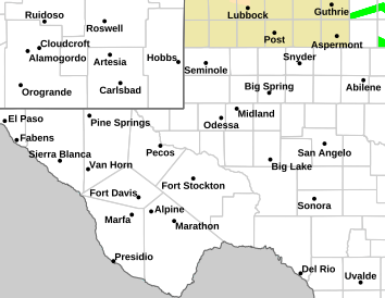
Click On The Map To Open It Up

SE New Mexico & West Texas Precipitation Forecasts

Eddy County

Guadalupe Mtns Eddy & Culberson County

Lea County

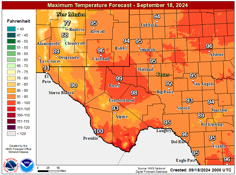
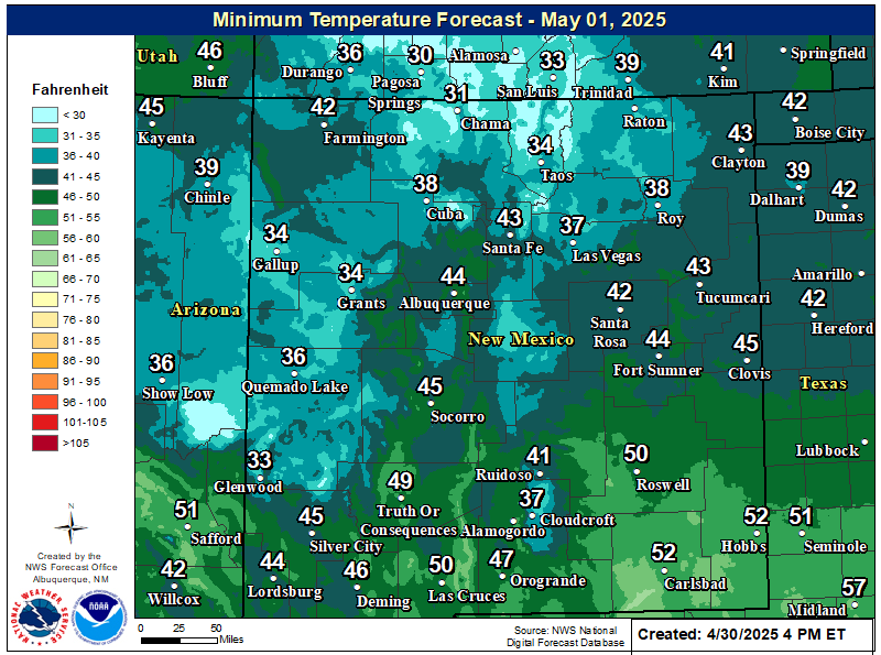
NWS Midland Forecast High Temperatures Today

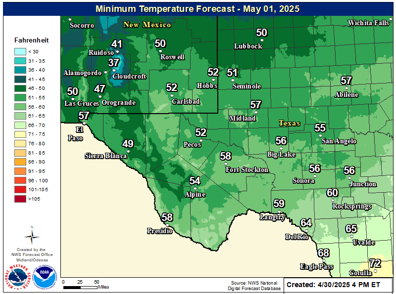
NWS Midland Forecast Low Temperatures Tonight

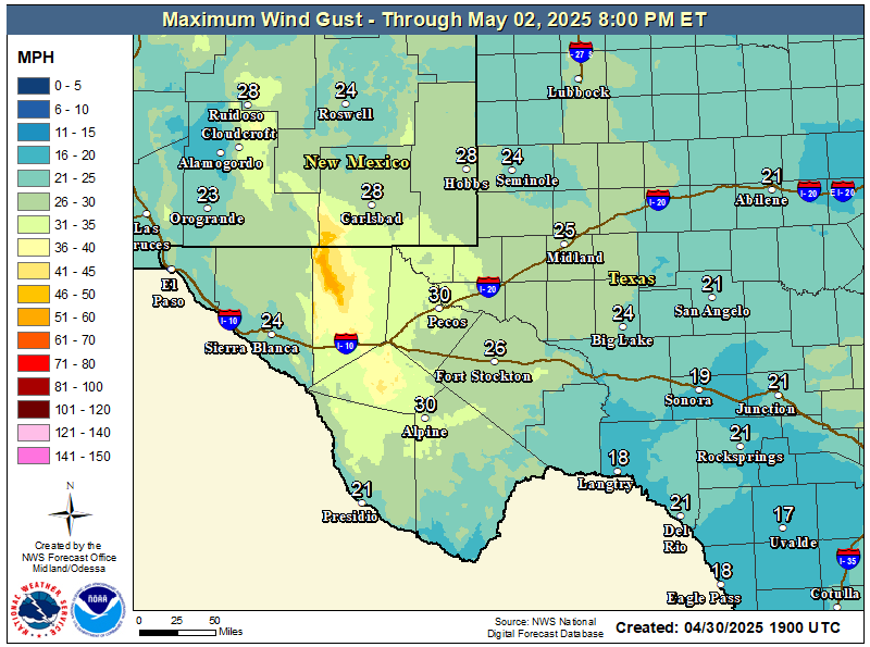
NWS Midland Peak Wind Gust Forecast

NWS Midland Forecast Graphic

NWS Midland Forecast Graphic
High temperatures will continue to trend downward through early next week, with below average high temperatures for the area Monday and Tuesday despite lows generally remaining above frost advisory criteria. A gradual warming trend sets in after Wednesday, but rain chances will only return to the area late week into next weekend.

NWS Midland Graphic Forecast

NWS Midland Graphic Forecast
A record daily maximum rainfall of 0.73 inches was set at Midland on Saturday, November 14, 2026. This ties the previous record of 0.73 inches set in 2004.

NWS Albuquerque Web Page

NWS Albuquerque Web Page
Click On The Map To Open It Up

NWS Albuquerque New Mexico Precipitation Forecasts

New Mexico

Chaves County Plains & Mtn's

Lincoln County

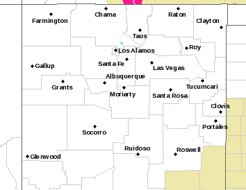
NWS Albuquerque Hazardous Weather Outlook

NWS Albuquerque Hazardous Weather Outlook

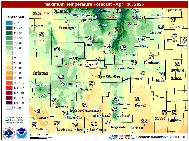
NWS Albuquerque Forecast High Temperatures Today

NWS Albuquerque Forecast Low Temperatures Tonight

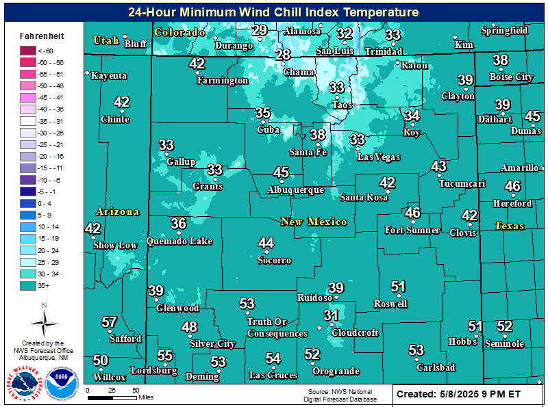
NWS Albuquerque Wind Chill Forecast

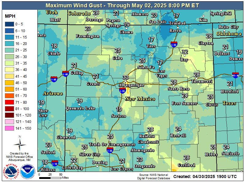
NWS Albuquerque Peak Wind Gust Forecast

NWS Albuquerque Graphic Forecast

NWS Albuquerque Graphic Forecast
Pockets of fog and freezing fog will persist in western valley locations, as well as the northeast and east-central plains. Slick spots are likely on roads, especially where freezing fog forms.

NWS Albuquerque Graphic Forecast

NWS Albuquerque Graphic Forecast
Increasing south to southwest winds are expected across some parts of northern and central NM Tuesday ahead of an approaching storm system. Some difficult crosswinds on east to west oriented roadways. Unsecured objects may blow around.

NWS Albuquerque Graphic Forecast

NWS Albuquerque Graphic Forecast
Calmer weather returns for most today and Monday before the next storm system brings rain and mountain snow chances back by late Tuesday. Another system is poised to pass the state late in the work week.

NWS El Paso Web Page

Southern New Mexico & Far West Texas Precipitation Forecasts

Texas

Otero County

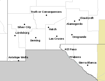
NWS El Paso Hazardous Weather Outlook

NWS El Paso Hazardous Weather Outlook
Click On The Image To See The Rest Of The Outlooks

NWS El Paso Hazardous Weather Outlook

NWS El Paso Hazardous Weather Outlook
Click On The Image To See The Rest Of The Outlooks

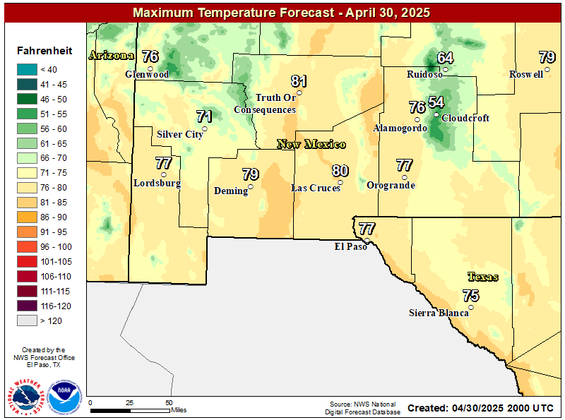
NWS El Paso Forecast High Temperatures Today

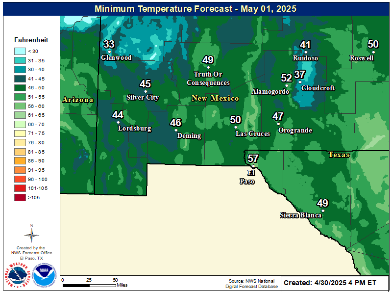
NWS El Paso Forecast Low Temperatures Tonight

NWS El Paso Wind Chill Forecast

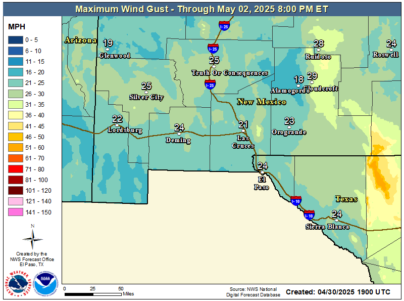
NWS El Paso Peak Wind Gust Forecast

NWS El Paso Graphic Forecast

NWS El Paso Graphic Forecast
Sunday will start out cooler with lows dipping into the mid 30s and low 40s. Those temperatures becoming near normal by afternoon. Skies will be mostly clear throughout the day with some high elevation clouds. Winds will stay relatively light at 5-10 MPH predominantly out of the northeast by afternoon.

NWS El Paso Graphic Forecast

NWS El Paso Graphic Forecast
This is the seven day temperature outlook from select cities in southern New Mexico and far west Texas. Overall temperatures will remain near or slightly above seasonal averages.

NWS Lubbock Web Page

NWS Lubbock Web Page
Click On The Map To Open It Up

NWS Lubbock Hazardous Weather Outlook

NWS Lubbock Hazardous Weather Outlook
Click On The Image To See The Rest Of The Outlooks

NWS Lubbock Hazardous Weather Outlook

NWS Lubbock Hazardous Weather Outlook
Click On The Image To See The Rest Of The Outlooks

NWS Lubbock South Plains Precipitation Forecasts

NWS Lubbock Hi Temperature Forecast Today

NWS Lubbock Low Temperature Forecast Tomight

NWS Lubbock Graphic Forecast

NWS Lubbock Graphic Forecast
The cloudy conditions will prevail overnight with another threat of fog forming this evening. Lows to range from 36° (on Caprock) to 44° (off Caprock).

NWS Lubbock Graphic Forecast

NWS Lubbock Graphic Forecast
The week will start off foggy and cool before eventually warming into the 60s by mid week. Shower and thunderstorm chances return Thursday.

My Rainfall Totals - 2.1 NNW Downtown Carlsbad

My Rainfall Totals - 2.1 NNW Downtown Carlsbad

My Seasonal Snowfall Totals - 2.1 NNW Downtown Carlsbad

My Seasonal Snowfall Totals - 2.1 NNW Downtown Carlsbad

Disclaimer

This blog and its contents are for informational purposes only! Always have multiple sources of information available to rely upon during severe weather. Do not rely solely on the Internet. Be weather-aware, plan ahead, have a backup plan, and be ready to act before severe weather strikes your location.