Posts

Showing posts from September, 2017

Current Date & Time

Fall Freeze Data For New Mexico

Past Week Has Been Cool & Wet.

Image
Clouds Topping The Guadalupe's. On my way home from work this past Tuesday I was able to capture these two shots looking west along the New Mexico/Texas State line (east of US Hwy 62/180) at clouds topping the Guadalupe Mountains.  Wet Past 7-Days. NWS HARP 7-Rainfall Totals. Measured 7-Day Rainfall Totals. New Mexico CoCoRaHS Totals.  NWS MesoWest Totals. NWS Climate Co-Op & ASOS Stations. Carlsbad Climate Co-Op Station. Carlsbad Airport. Artesia Climate Co-Op Station. Roswell Airport. This past week has been a soaker for the eastern one half of New Mexico including the Southeastern Plains. As of 9 AM MDT this morning the heaviest 7-Day rainfall total I can come up with in the local area is 5.59" measured at the Portales CoCoRaHS Station located 5.1 miles south-southwest of town. The Texico CoCoRaHS Station located 13.6 miles north...

Flash Flooding In Dark Canyon Monday - More Flooding Possible!

Image
Blog Updated At 7:14 AM MDT. 24-Hour Radar Estimated Rainfall Totals. (As Of 6 AM MDT This Morning). Midland NWS Dual Pol Doppler Radar. (Using GRLevelX Software). NWS AHPS River Observations. Radar estimated that 4.50" of rain fell over the Dark Canyon Arroyo 12 miles west of Whites City yesterday morning. This produced flash flooding in Dark Canyon. The Dark Canyon flood gauge located north of Whites City and southwest of Carlsbad measured a maximum water depth in the normally dry arroyo of 6.15 feet at 11:15 AM MDT Monday morning. By the time the flood waters worked their way northeastward into Carlsbad the Dark Canyon flood gauge located near the low water crossing bridge on San Jose Blvd measured a peak depth of 3.9 feet at 8:30 AM MDT yesterday. This falls way short of the flooding that was observed in September of 2014 when water depths exceeded 20 feet at the gauge in town.  3-Day Radar Estimated Rainfall Totals. ...

More Hail Damage Photos Near Washington Ranch From Saturday Evening.

Image
Photos Are Courtesy Of Janet Mayes Of Carlsbad, NM. More photos of of the hail damage from a couple of miles north of the NM/TX State line north of U.S. Hwy 62/180 near the Washington Ranch area Saturday around 6:15 PM MDT. Additional photos and information on this storm can be viewed via this link- Supercell Thunderstorms Roam The High Desert Saturday. Quote From Janet Mayes- " Storm damage from last nights storm. Broke the windshields on every vehicle that was not under the carport. Both jeeps, AJ's work truck, and the dump truck. Broke one window in my bedroom and the sky light in the bathroom again. Broken taillights  and running lights on the new camper." The Truth Is Stranger Than Fiction!

Supercell Thunderstorms Roam The High Desert Saturday.

Image
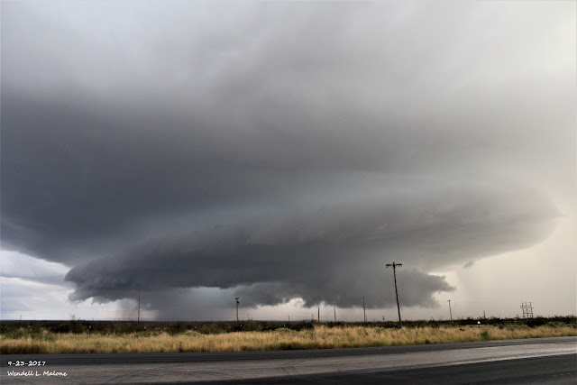
Blog Updated At 8:10 PM MDT. Looking Southeast From Whites City At 6:26 PM MDT Saturday, Sept 23, 2017. My wife jumped into the truck and headed southwest to Whites City Saturday afternoon to chase this supercell thunderstorm pictured above. As impressive as this storm was when I shot this photo it was even more so on radar before we got down there. It had formed a wall cloud but we didn't notice any significant rotation when I took this photo. The storm had already begun to weaken. GRLevel2 Radar Snapshot Of This Supercell Thunderstorm At 5:15 PM MDT. The El Paso/Santa Teresa NWS Office had warned on it for tennis ball size hail shortly before it rolled over the top of the Guadalupe Mountains National Park. At 5:20 PM MDT the Hudspeth County Sheriff reported power lines downed from the storm in Dell City . GRLevel3_2.00 Radar Snapshot At 6:07 PM MDT, The Midland NWS Dual Pol Doppler Radar was indicating that the hail core aloft in the storm had reach...
My Blog Archive List (July 2010 - August 2025).

Show more

My Current Weather Conditions

MY CoCoRaHS Precipitation Data

NWS Albuquerque 2026 Winter Outlook

Eddy County

Guadalupe Mtns Eddy & Culberson County

Lea County

NWS Midland Web Page

NWS Midland Web Page
Click On The Map To Open It Up

SE New Mexico & West Texas Precipitation Forecasts

NWS Midland Hazardous Weather Outlook

NWS Midland Hazardous Weather Outlook
Click On The Image To See The Rest Of The Outlooks

NWS Midland Hazardous Weather Outlook

NWS Midland Hazardous Weather Outlook

NWS Midland Hazardous Weather Outlook

NWS Midland Hazardous Weather Outlook
Click On The Image To See The Rest Of The Outlooks

NWS Midland Forecast Graphic

NWS Midland Graphic Forecast

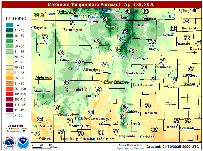
NWS Midland Forecast High Temperatures Today

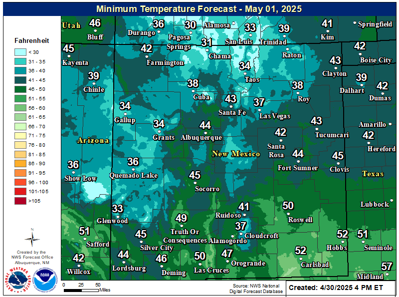
NWS Midland Forecast Low Temperatures Tonight

NWS Midland Peak Wind Gust Forecast

New Mexico

Chaves County Plains & Mtn's

Lincoln County

NWS Albuquerque Web Page

NWS Albuquerque Web Page
Click On The Map To Open It Up

NWS Albuquerque New Mexico Precipitation Forecasts

NWS Albuquerque Hazardous Weather Outlook

NWS Albuquerque Hazardous Weather Outlook

NWS Albuquerque Graphic Forecast

NWS Albuquerque Forecast Grpahics

NWS Albuquerque Forecast Graphics

NWS Albuquerque Forecast Graphic

NWS Albuquerque Graphic Forecast

NWS Albuquerque Graphic Forecast

NWS Albuquerque Forecast High Temperatures Today

NWS Albuquerque Forecast Low Temperatures Tonight

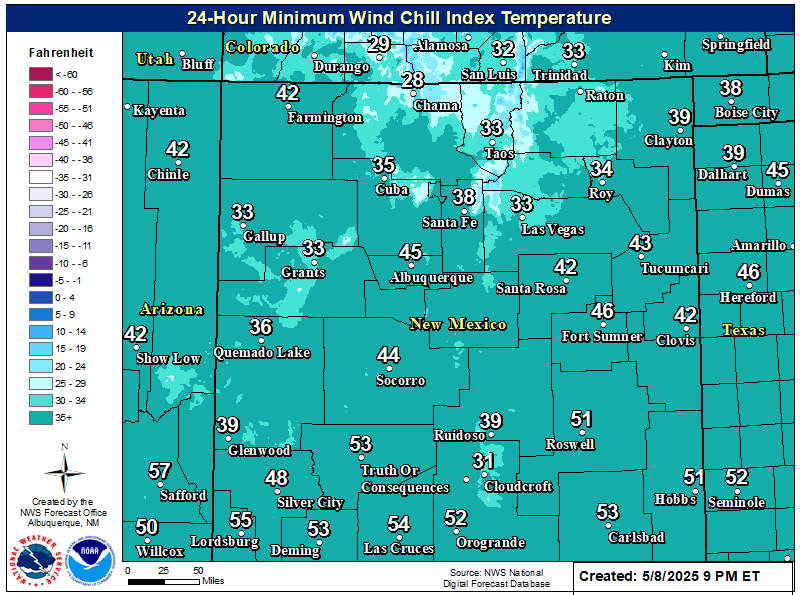
NWS Albuquerque Wind Chill Forecast

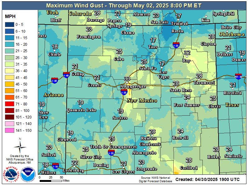
NWS Albuquerque Peak Wind Gust Forecast

Texas

Otero County

NWS El Paso Web Page

Southern New Mexico & Far West Texas Precipitation Forecasts

NWS El Paso Hazardous Weather Outlook

NWS El Paso Hazardous Weather Outlook
Click On The Image To See The Rest Of The Outlooks

NWS El Paso Hazardous Weather Outlook

NWS El Paso Hazardous Weather Outlook
Click On The Image To See The Rest Of The Outlooks

NWS El Paso Graphic Forecast

NWS El Paso Graphic Forecast

NWS El Paso Graphic Forecast

NWS El Paso Forecast High Temperatures Today

NWS El Paso Forecast Low Temperatures Tonight

NWS El Paso Peak Wind Gust Forecast

NWS Lubbock Web Page

NWS Lubbock Web Page
Click On The Map To Open It Up

NWS Lubbock South Plains Precipitation Forecasts

NWS Lubbock Hazardous Weather Outlook

NWS Lubbock Hazardous Weather Outlook
Click On The Image To See The Rest Of The Outlooks

NWS Lubbock Hazardous Weather Outlook

NWS Lubbock Hazardous Weather Outlook
Click On The Image To See The Rest Of The Outlooks

NWS Lubbock Hazardous Weather Outlook

NWS Lubbock Hazardous Weather Outlook

NWS Lubbock Graphic Forecast

NWS Lubbock Graphic Forecast

NWS Lubbock Graphic Forecast

NWS Lubbock Graphic Forecast

NWS Lubbock Graphic Forecast

NWS Lubbock Hi Temperature Forecast Today

NWS Lubbock Low Temperature Forecast Tomight

My Rainfall Totals - 2.1 NNW Downtown Carlsbad

My Rainfall Totals - 2.1 NNW Downtown Carlsbad

My Seasonal Snowfall Totals - 2.1 NNW Downtown Carlsbad

My Seasonal Snowfall Totals - 2.1 NNW Downtown Carlsbad

Disclaimer

This blog and its contents are for informational purposes only! Always have multiple sources of information available to rely upon during severe weather. Do not rely solely on the Internet. Be weather-aware, plan ahead, have a backup plan, and be ready to act before severe weather strikes your location.