Current Date & Time

Fall Freeze Data For New Mexico

Windy Today...Chilly This Week.


 A mix of light rain, sleet, and snow was reported across the southeastern plains overnight. As far as I know there were no significant accumulations on the ground. Snow also fell in the Sacramento mountains and I will post those totals later today.


Dense Freezing Fog covers parts of southeastern New Mexico early this morning. Visibilities in the Carlsbad and Artesia areas are reported to be down to 1/4 of a mile or less. Some of are roads are glazed over with ice so please be careful out there this morning.

By mid-day the fog will have burned off. Strong downslopping southwesterly winds are forecast to kick up later this morning. These southwesterly winds will become sustained at around 30 - 40 mph with gusts near 55 mph across Eddy and Culberson Counties. They won't be quiet as bad across the rest of the southeastern plains, but it will still be a windy day. 

We will see afternoon high temps in the mid-upper 50's today. A cold front will move through the area tonight, dropping our highs back down into the mid 40's for New Years Day, as well as on Wednesday and Thursday. Friday will see highs in the mid 40's to near 50.

Another Storm On Thursday?

Valid At 5 AM MST Thursday January 3, 2013.

Last Nights 00Z/5 PM MST ECMWF 500 MB Forecast.
Valid At 5 PM MST Wednesday January 2, 2013.

Our next storm to sweep across the state on Thursday does not look very impressive on last nights model runs. The European (ECMWF) sees to be the outliner in trying to close up a short wave over northwestern Mexico by Wednesday evening. But its not a certain call at this point given the models continuing struggle to forecast these systems of late.


GFS & ECMWF Roswell, NM.


GFS & ECMWF Artesia, NM.


GFS & ECMWF Carlsbad, NM.

 GFS & ECMWF Hobbs, NM.

GFS & ECMWF Ruidoso, NM.

GFS & ECMWF Albuquerque, NM.

The Truth Is Stranger Than Fiction!

 My Web Page Is Best Viewed With Google Chrome.

Comments

  1. A bit of a let-down here...1/2" of snow, .05" melted. Chilly, dry winds...hoping it will finally go warmer than average some, not always stay stuck below it!

    Wishing you and yours' a great New Year and abundant rain!

    ReplyDelete
  2. Thanks David...Happy New Year to you too!

    ReplyDelete

Post a Comment

Your comments, questions, and feedback on this post/web page are welcome.

My Blog Archive List (July 2010 - August 2025).

Show more

My Current Weather Conditions

MY CoCoRaHS Precipitation Data

NWS Albuquerque 2026 Winter Outlook (Updated Nov 3rd).

NWS Midland Web Page

NWS Midland Web Page
Click On The Map To Open It Up

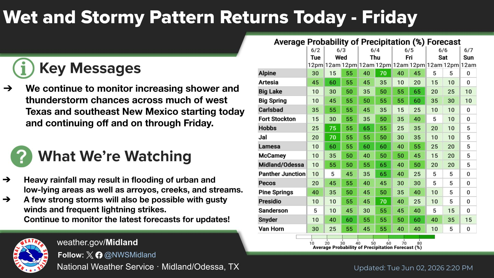
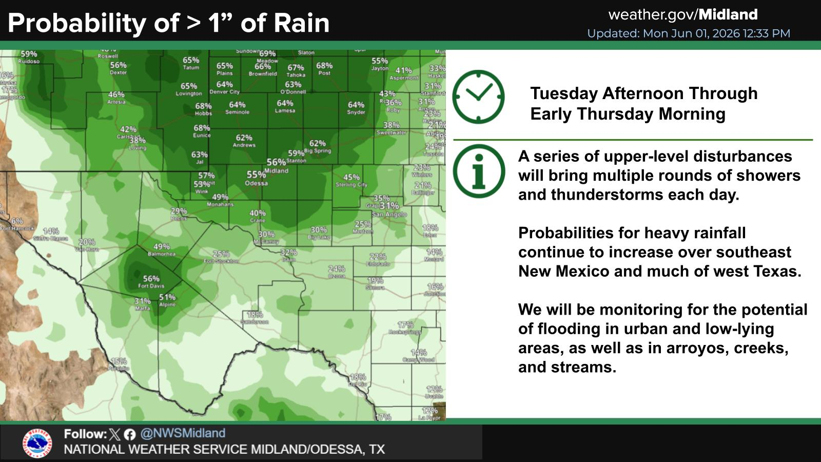
SE New Mexico & West Texas Precipitation Forecasts

Eddy County

Guadalupe Mtns Eddy & Culberson County

Lea County

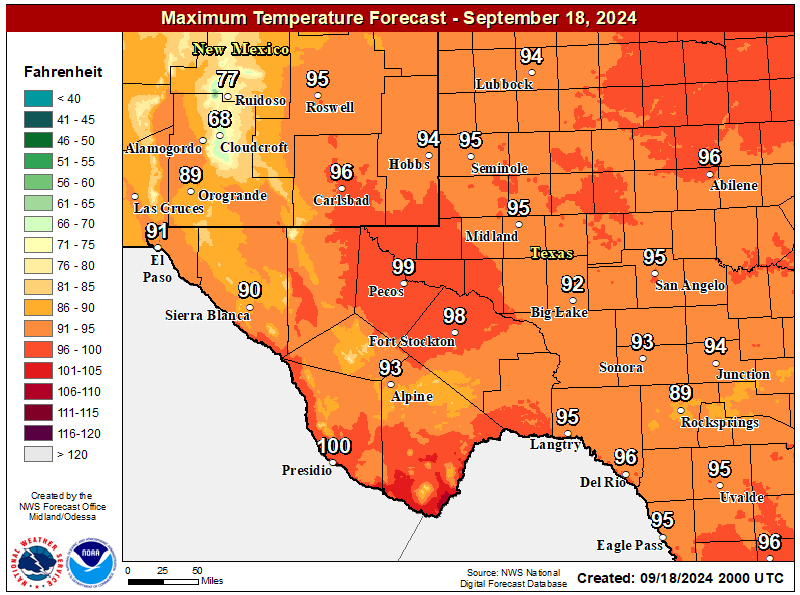
NWS Midland Forecast High Temperatures Today

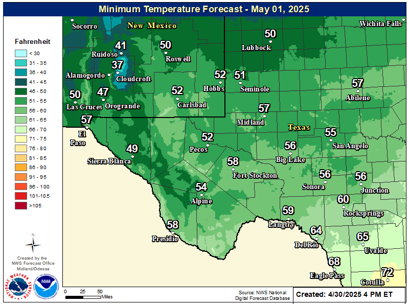
NWS Midland Forecast Low Temperatures Tonight

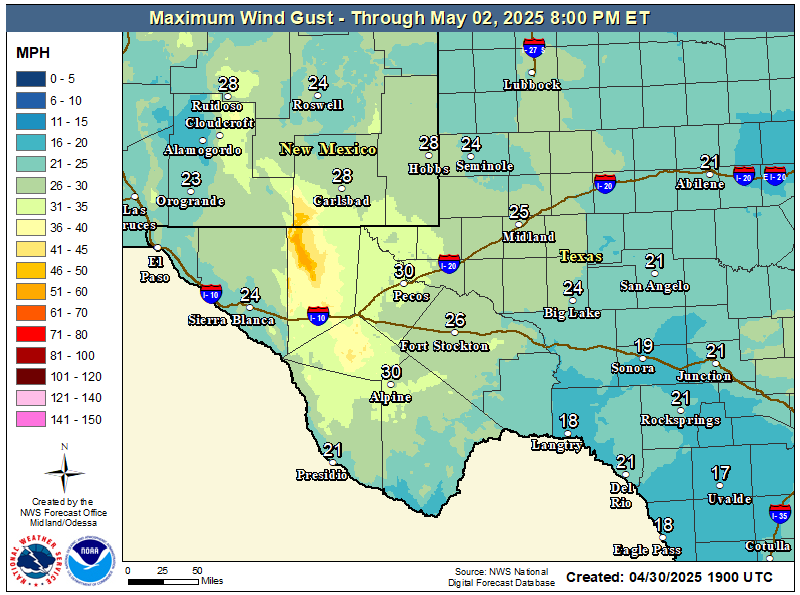
NWS Midland Peak Wind Gust Forecast

NWS Midland Forecast Graphic

NWS Midland Forecast Graphic
High temperatures will continue to trend downward through early next week, with below average high temperatures for the area Monday and Tuesday despite lows generally remaining above frost advisory criteria. A gradual warming trend sets in after Wednesday, but rain chances will only return to the area late week into next weekend.

NWS Midland Graphic Forecast

NWS Midland Graphic Forecast
A record daily maximum rainfall of 0.73 inches was set at Midland on Saturday, November 14, 2026. This ties the previous record of 0.73 inches set in 2004.

NWS Albuquerque Web Page

NWS Albuquerque Web Page
Click On The Map To Open It Up

NWS Albuquerque New Mexico Precipitation Forecasts

New Mexico

Chaves County Plains & Mtn's

Lincoln County

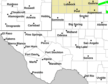
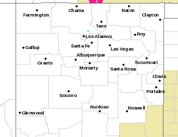
NWS Albuquerque Hazardous Weather Outlook

NWS Albuquerque Hazardous Weather Outlook

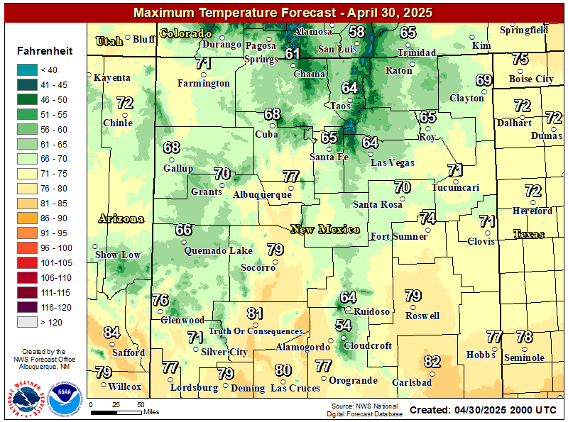
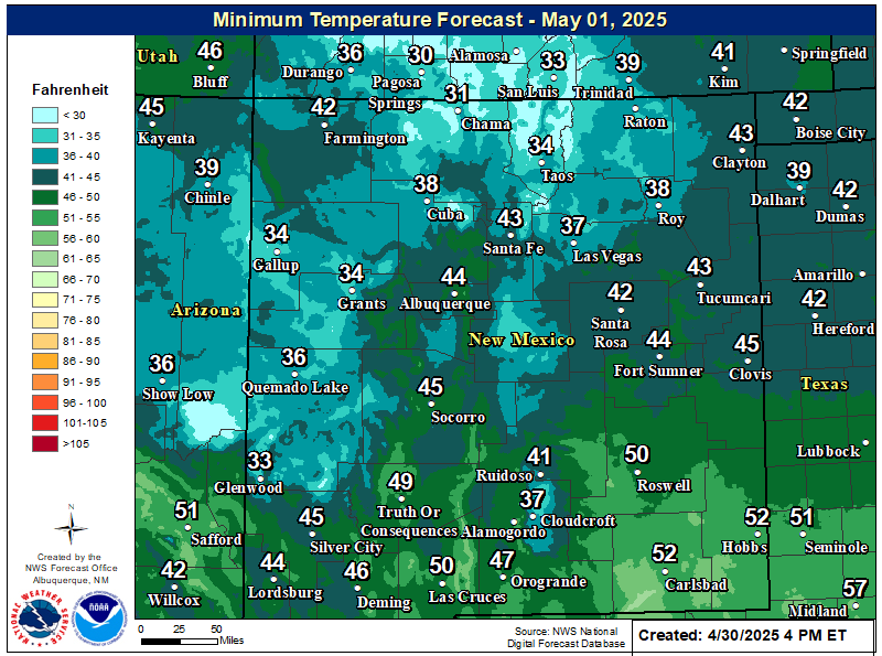
NWS Albuquerque Forecast High Temperatures Today

NWS Albuquerque Forecast Low Temperatures Tonight

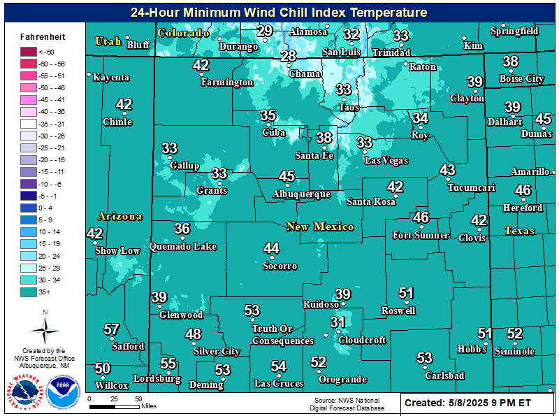
NWS Albuquerque Wind Chill Forecast

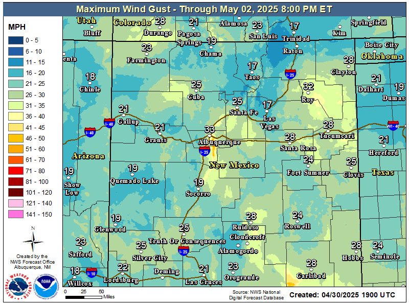
NWS Albuquerque Peak Wind Gust Forecast

NWS Albuquerque Graphic Forecast

NWS Albuquerque Graphic Forecast
Pockets of fog and freezing fog will persist in western valley locations, as well as the northeast and east-central plains. Slick spots are likely on roads, especially where freezing fog forms.

NWS Albuquerque Graphic Forecast

NWS Albuquerque Graphic Forecast
Calmer weather returns for most today and Monday before the next storm system brings rain and mountain snow chances back by late Tuesday. Another system is poised to pass the state late in the work week.

NWS El Paso Web Page

Southern New Mexico & Far West Texas Precipitation Forecasts

Texas

Otero County

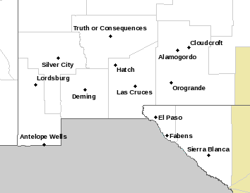
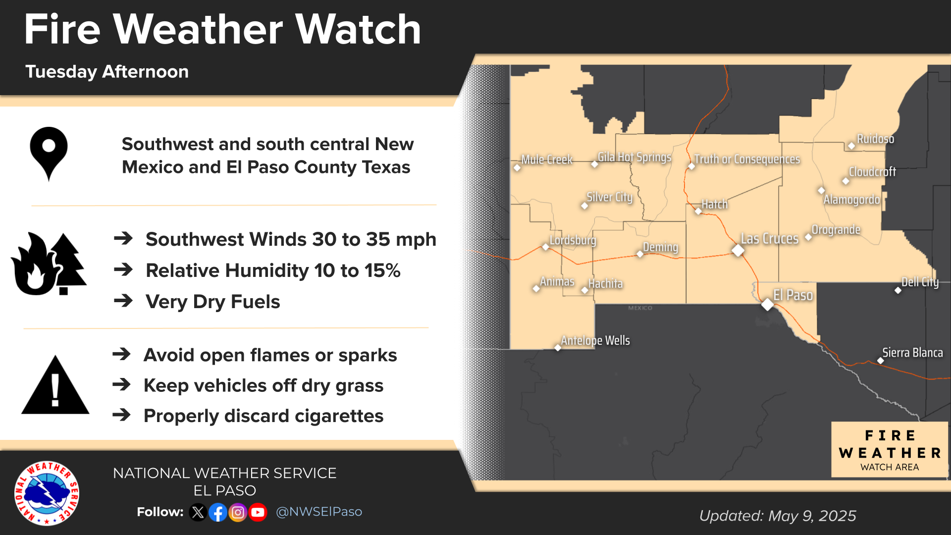
NWS El Paso Hazardous Weather Outlook

NWS El Paso Hazardous Weather Outlook
Click On The Image To See The Rest Of The Outlooks

NWS El Paso Hazardous Weather Outlook

NWS El Paso Hazardous Weather Outlook
Click On The Image To See The Rest Of The Outlooks

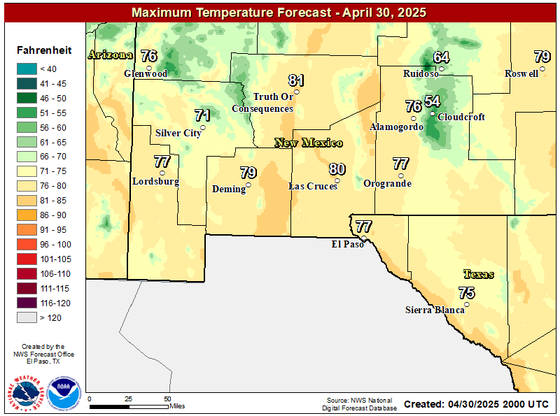
NWS El Paso Forecast High Temperatures Today

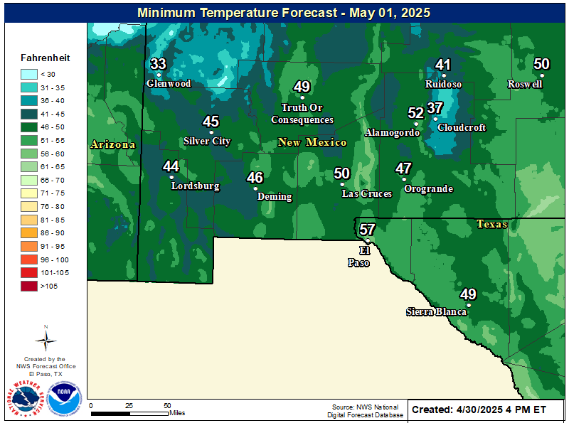
NWS El Paso Forecast Low Temperatures Tonight

NWS El Paso Wind Chill Forecast

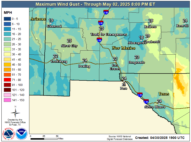
NWS El Paso Peak Wind Gust Forecast

NWS El Paso Graphic Forecast

NWS El Paso Graphic Forecast
Sunday will start out cooler with lows dipping into the mid 30s and low 40s. Those temperatures becoming near normal by afternoon. Skies will be mostly clear throughout the day with some high elevation clouds. Winds will stay relatively light at 5-10 MPH predominantly out of the northeast by afternoon.

NWS El Paso Graphic Forecast

NWS El Paso Graphic Forecast
Surface moisture from recent rain showers along with light winds will generate patchy fog overnight as temperatures cool down to near saturation at the surface. The fog will linger until mid morning when temperatures rise and the fog dissipates.

NWS El Paso Graphic Forecast

NWS El Paso Graphic Forecast
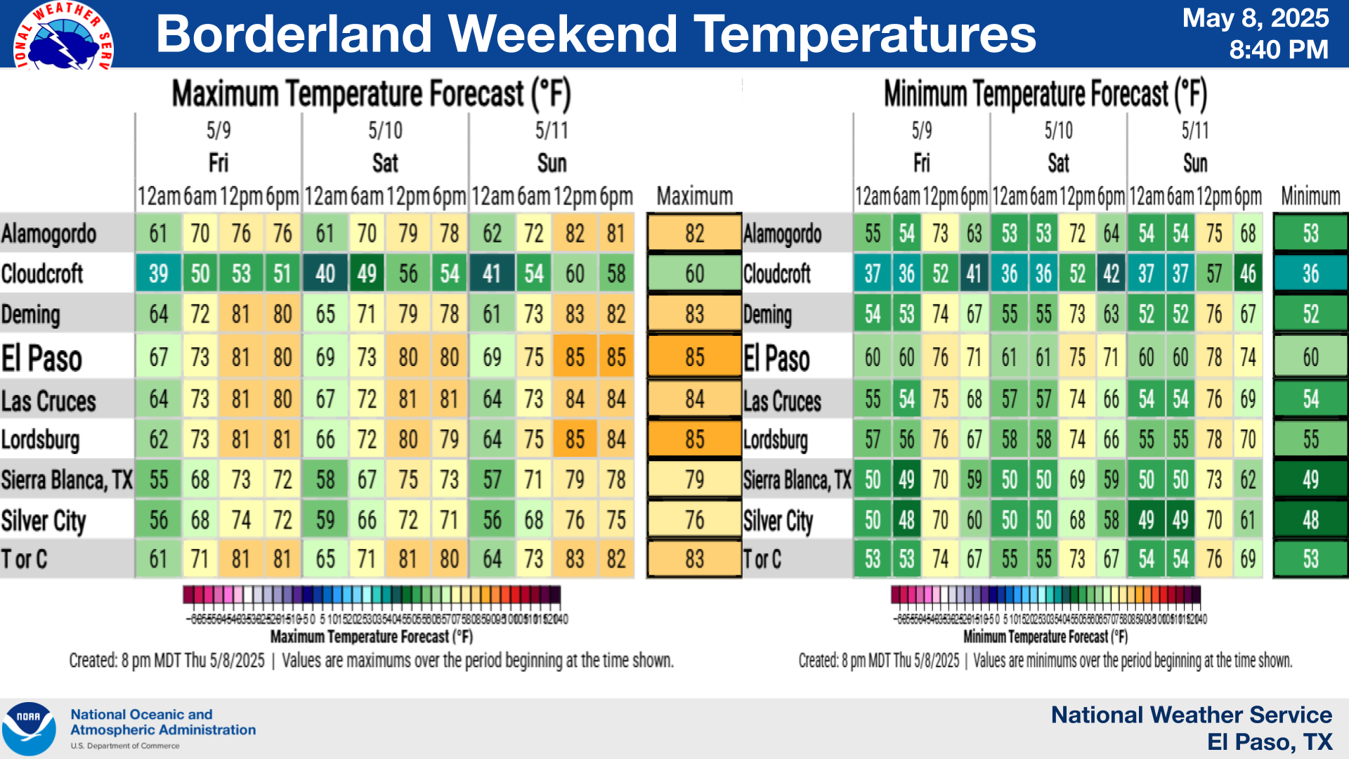
This is the seven day temperature outlook from select cities in southern New Mexico and far west Texas. Overall temperatures will remain near or slightly above seasonal averages.

NWS Lubbock Web Page

NWS Lubbock Web Page
Click On The Map To Open It Up

NWS Lubbock Hazardous Weather Outlook

NWS Lubbock Hazardous Weather Outlook
Click On The Image To See The Rest Of The Outlooks

NWS Lubbock Hazardous Weather Outlook

NWS Lubbock Hazardous Weather Outlook
Click On The Image To See The Rest Of The Outlooks

NWS Lubbock South Plains Precipitation Forecasts

NWS Lubbock Hi Temperature Forecast Today

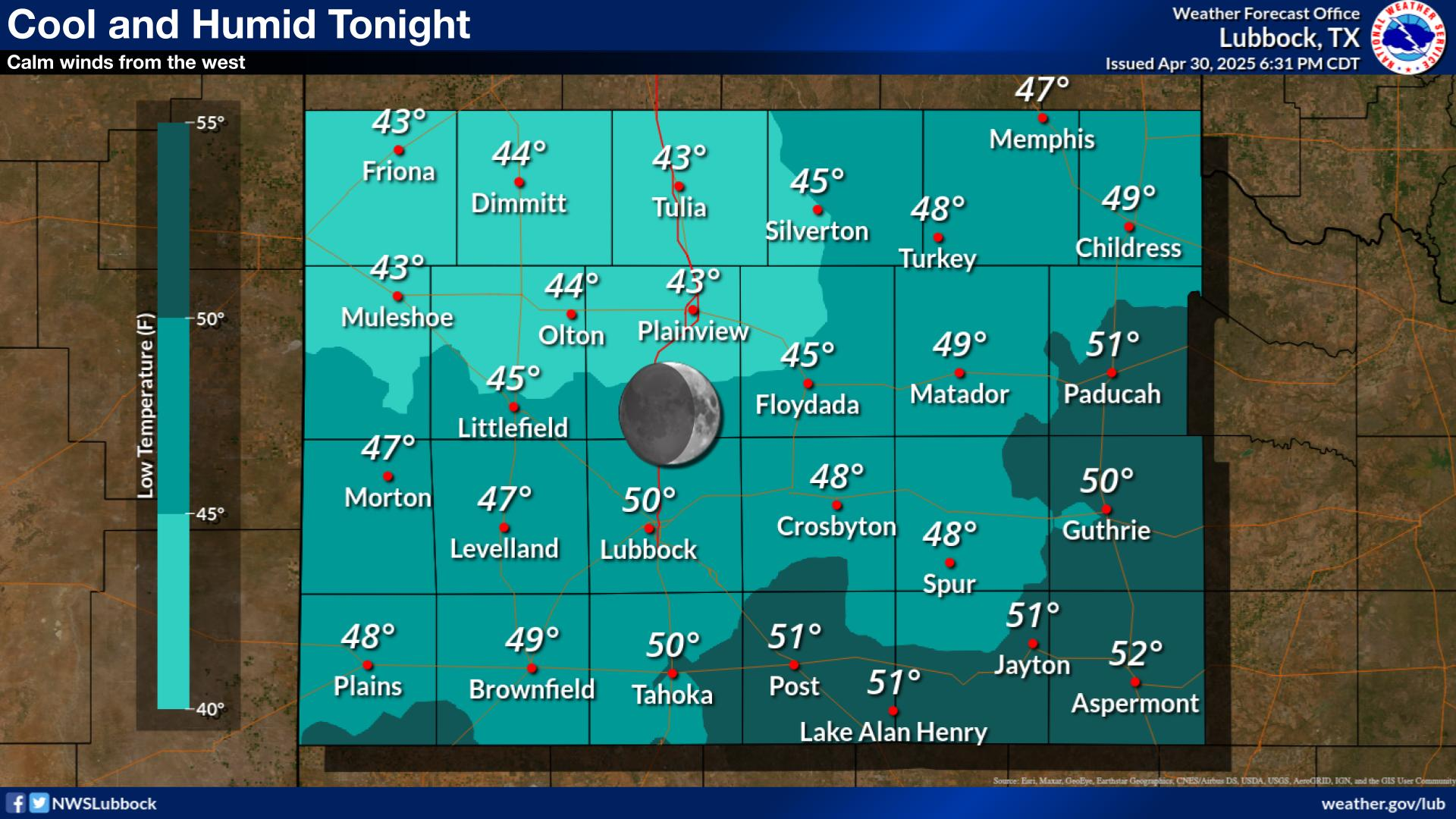
NWS Lubbock Low Temperature Forecast Tomight

NWS Lubbock Graphic Forecast

NWS Lubbock Graphic Forecast
A Dense Fog Advisory is in effect until noon Sunday for Hale, Hockley, Lamb, and Lubbock Counties.

NWS Lubbock Graphic Forecast

NWS Lubbock Graphic Forecast
Much of the Caprock will be socked in with fog through mid day while light rain showers will be possible off the Caprock through the afternoon. It will be chilly with highs in the 40s and 50s with overnight lows in the 30s and 40s.

NWS Lubbock Graphic Forecast

NWS Lubbock Graphic Forecast
The week will start off foggy and cool before eventually warming into the 60s by mid week. Shower and thunderstorm chances return Thursday.

My Rainfall Totals - 2.1 NNW Downtown Carlsbad

My Rainfall Totals - 2.1 NNW Downtown Carlsbad

My Seasonal Snowfall Totals - 2.1 NNW Downtown Carlsbad

My Seasonal Snowfall Totals - 2.1 NNW Downtown Carlsbad

Disclaimer

This blog and its contents are for informational purposes only! Always have multiple sources of information available to rely upon during severe weather. Do not rely solely on the Internet. Be weather-aware, plan ahead, have a backup plan, and be ready to act before severe weather strikes your location.